
When Is the Best Time
Copper Canyon in the north of Mexico is a year-round destination, and every season is different. Be prepared weather can change quickly at any time, particularly in winter.
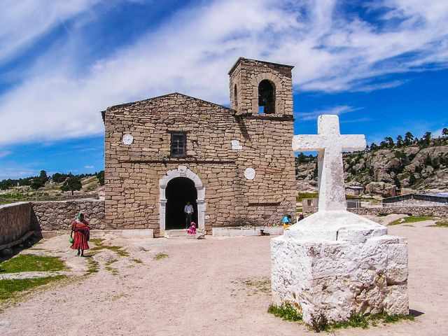
Weather Barranca del Cobre
Winter (November-February)
Expect cold and snow on the upper elevation. Carry extra layers for the nights, they are quite cold. The weather can be great during the day. The temps on the bottom of the canyon are mild. Mostly dry from February on. Sometimes winter can last until the beginning of April. Winter is a good time for hiking. Fewer visitors at this time of the year.
Spring (March-May)
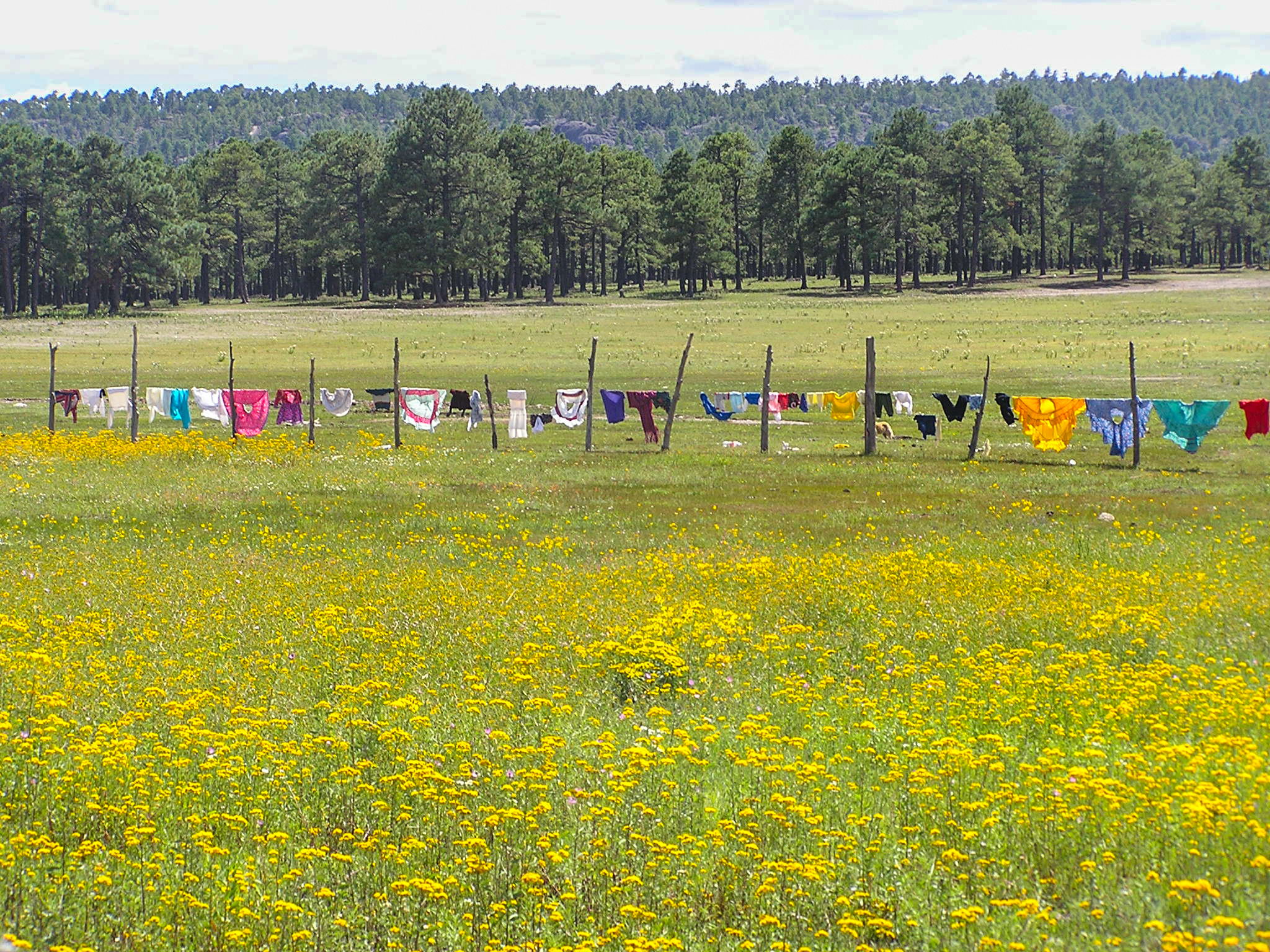
March and April are frequently windy however, it’s the driest time of the year and warms up to 75°F (24°C). The landscape is brown, and it’s dusty. Waterfalls are on a low level. Easter time gets crowded.
Summer (June to August)
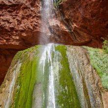
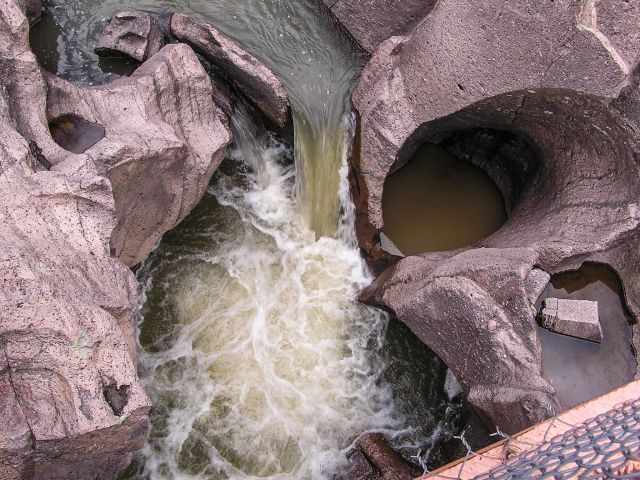
Extreme heat at the bottom of the canyon, but hiking at high elevation is pleasant. End of June, the first rain occurs Vegetation turns green, and flowers are in bloom. The flow of the waterfalls is impressive. It’s not always rainy, there are also perfect summer days. Camping on the bottom is a high risk due to flash floods.
Autumn (September-mid-November)
Rain can last until mid-September, and temperatures are moderate, good conditions for hiking the canyon. However, the bottom of the canyon is still hot.
Best Time River Rafting
June to September is the best time for river rafting on Rio Urique. An alternative is the Rio Grande which is less wild, the ride is gentler with beautiful panoramic views.
Best Months to Visit
Location and Tips

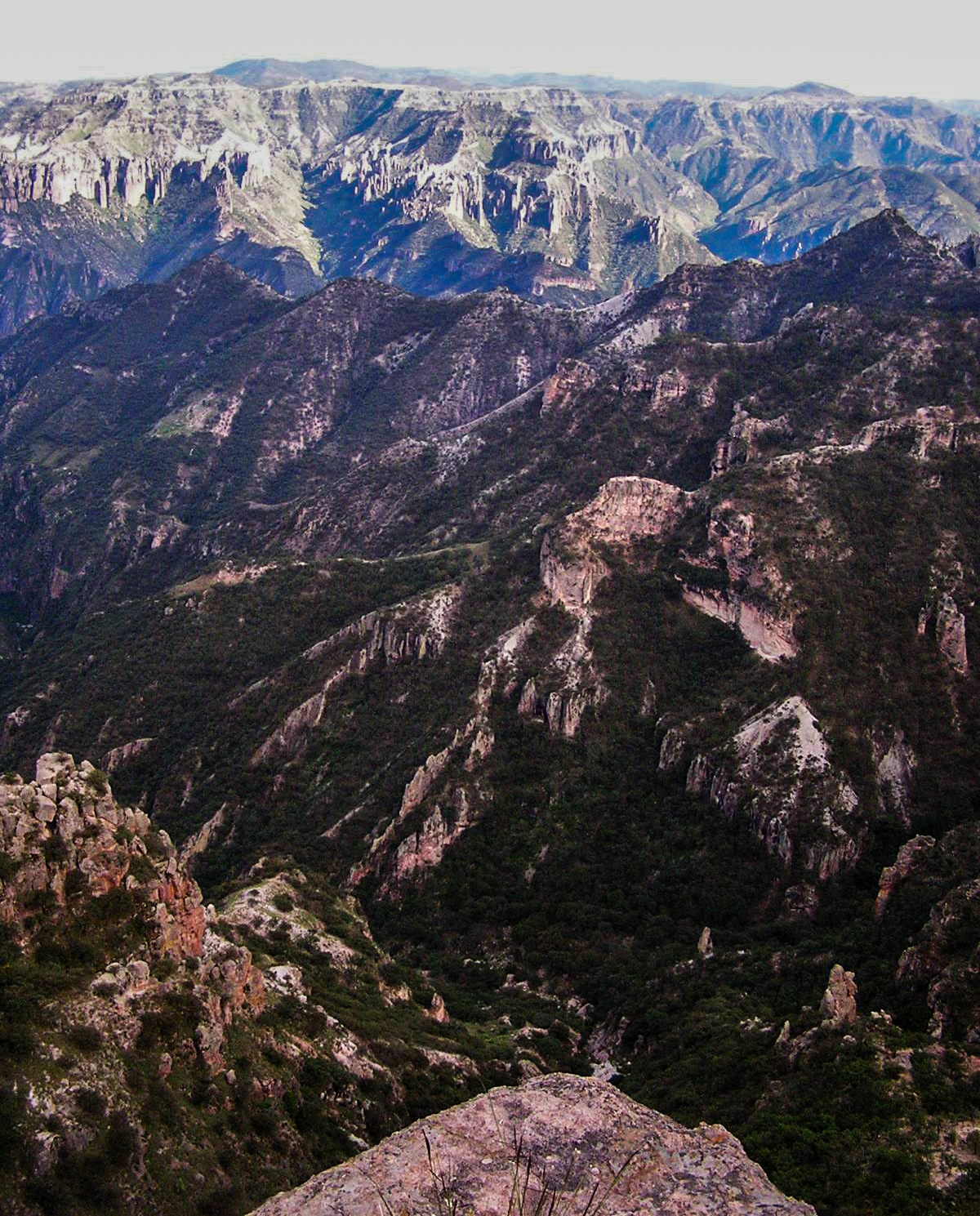
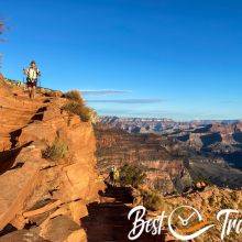
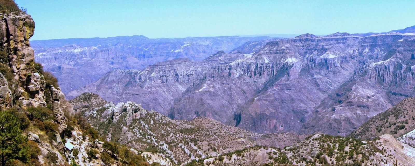
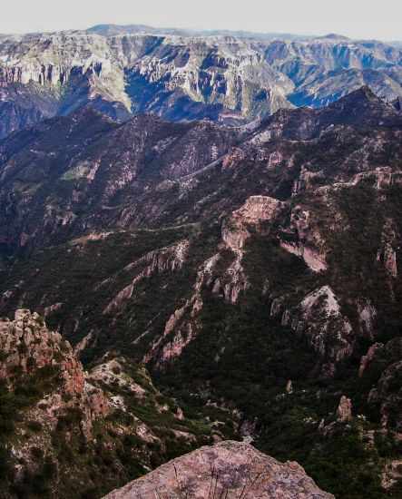
Copper Canyon is a World Heritage Site. The name origins from the greenish copper of the walls. The Canyon is a complex of six very big and deep canyons, even deeper than the Grand Canyon. Copper is 5770 feet – 1759 m deep, Urique the deepest with 6136 feet - 1870 m, Batopilas, Sinforosa, Tararecua and Oteros. The last two are not well known.
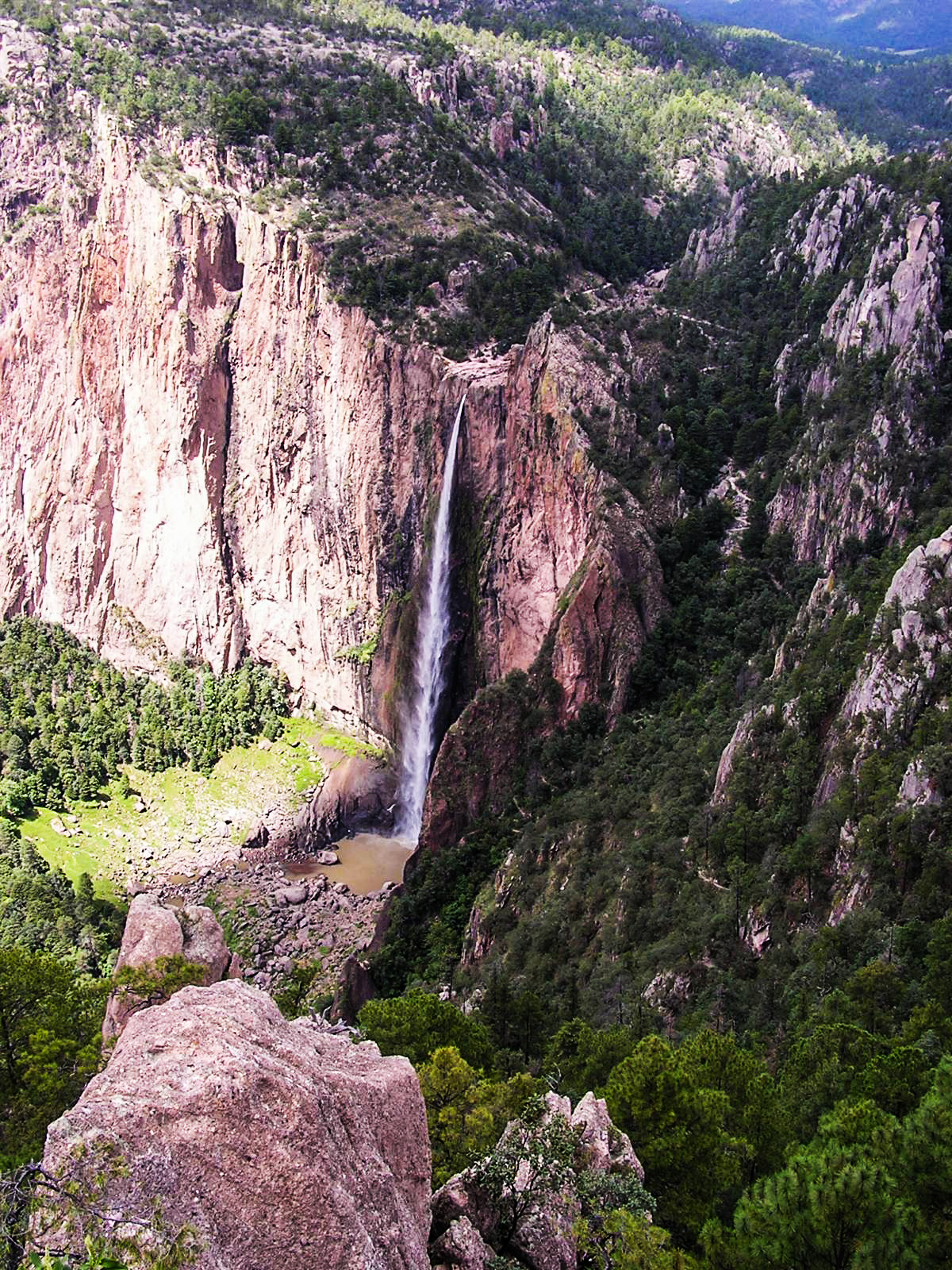
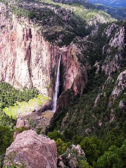
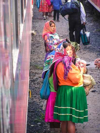
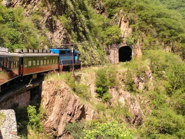
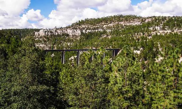
Huge rivers have carved these deep canyons. The rivers like Rio Urique or Rio Grande merge into the Rio Fuerte to the Gulf of California. The popular and unique Chepe train from Los Mochis, on the Pacific Coast, leads to Creel. Creel is the popular gateway to Copper Canyon. The train passes through numerous tunnels and over lots of bridges. You may also see the famous Basaseachi Falls, with a free fall of 885 feet – 270 m. It is the only passenger train in Mexico and runs twice daily. The train stops at nine main tourist attractions.
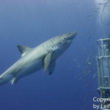
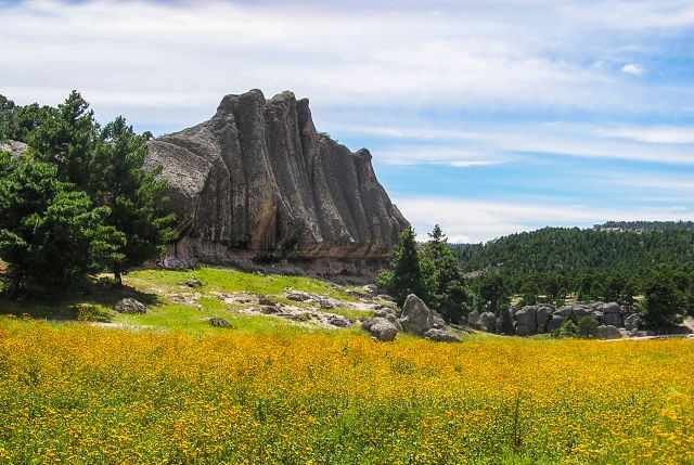
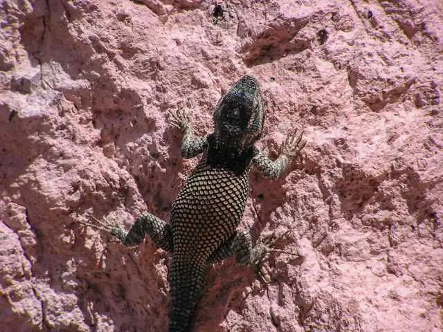
Copper Canyon is a great destination for hiking, mountain biking, rock climbing, river rafting, and even a via ferrata exist, there are numerous hot springs, birding and wildlife spotting are great, and it is rich in biodiversity.

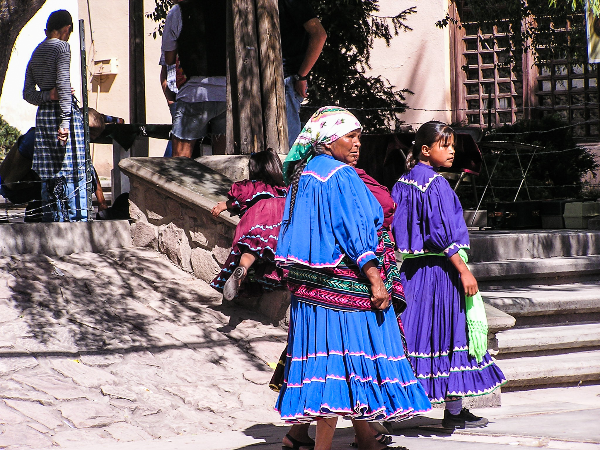
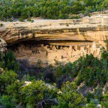
Get a closer look to the culture of the Tarahumara or Raramuri tribe, which has been populated for the last 500 years. The town of Hidalgo de Parallel to the south is a good alternative for exploring the Sinforosa Canyon, which is hardly crowded.
Hiking is very popular, but trails are not marked. Either you hire a local guide, or you are an experienced hiker looking for an adventure, but definitely, a GPS or navigation app is essential.
The Rim to Rim trail is a famous loop and 38 miles - 61 km long with 20.000 feet – more than 6000 m elevation loss and gain. It starts at the village of Divisadero and to Pamachi on the east rim and back. Hiking pools are highly recommended.

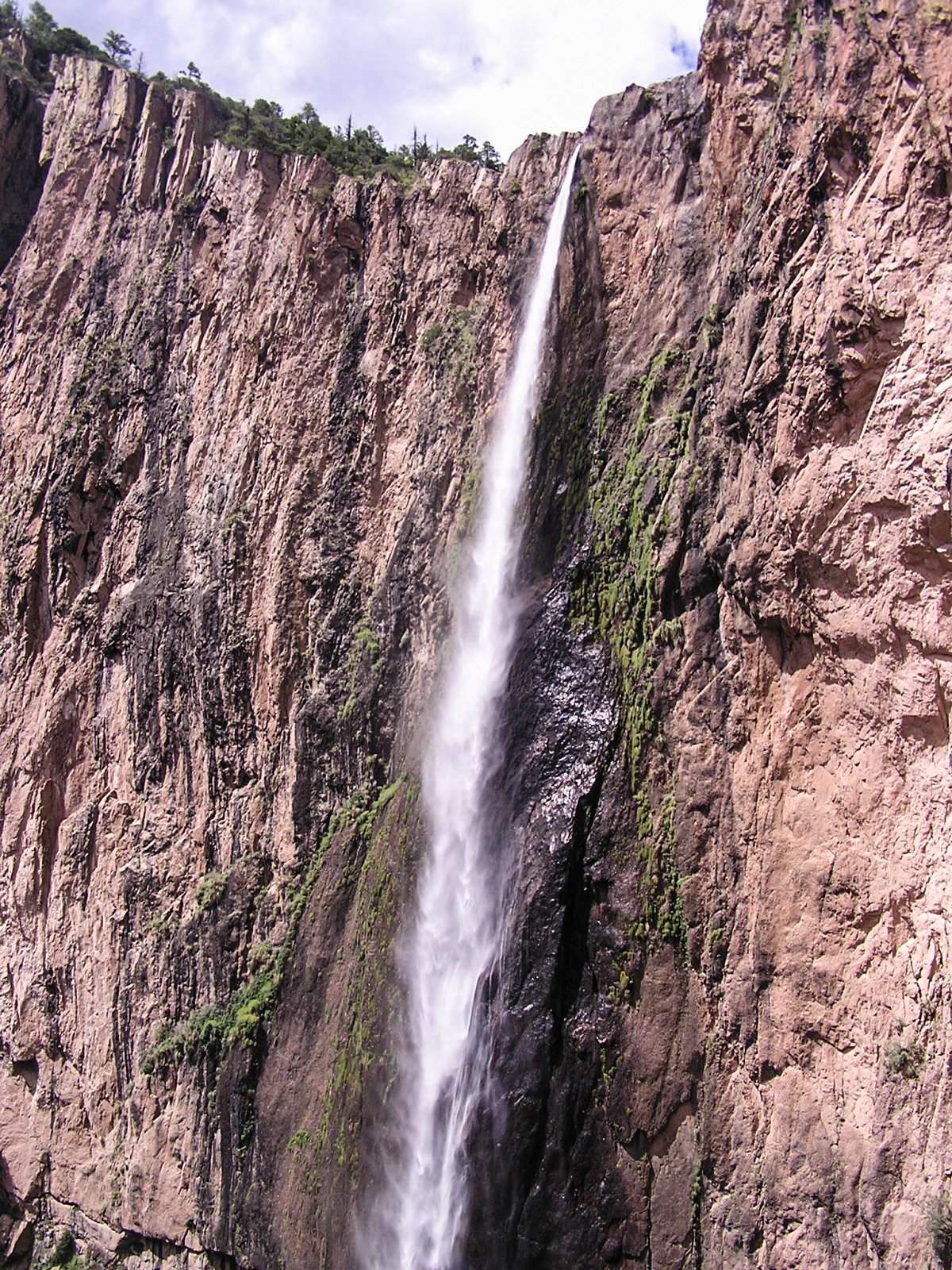
The Basaseachi Falls National Park is famous for its thick forests of pine and oak trees. It takes roughly 1 1/2 hours to get here from Creel. The National Park is outstanding for birding and wildlife sightings. Spend a minimum of a night in a cabin or pitch a tent. Mosquitoes occur in the lower canyon!
Pictures are provided by Stefan Bonne for whentobewhere my first project.