
When Is the Best Time
Quick Overview — Why Visit Both in One Day
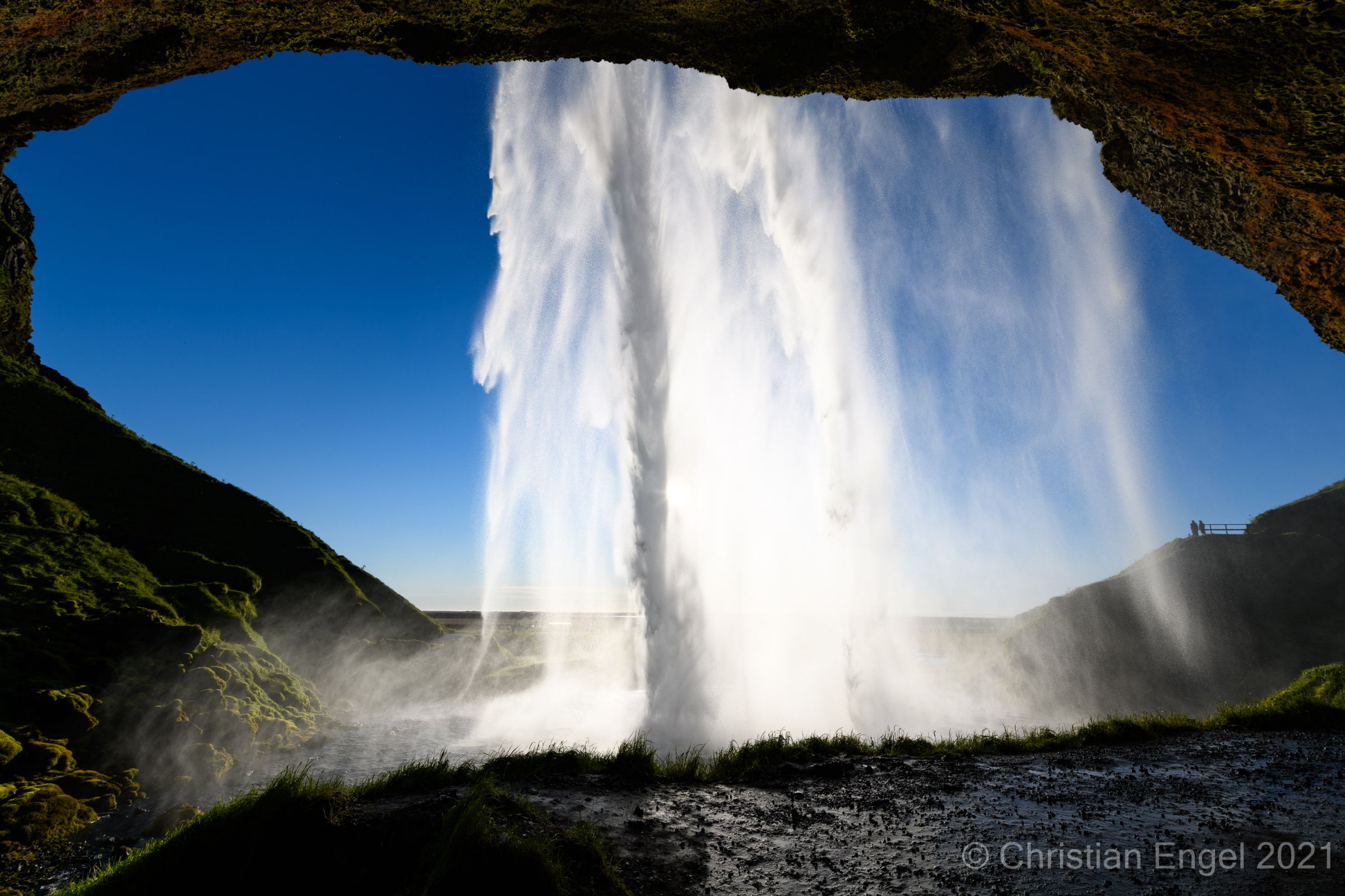
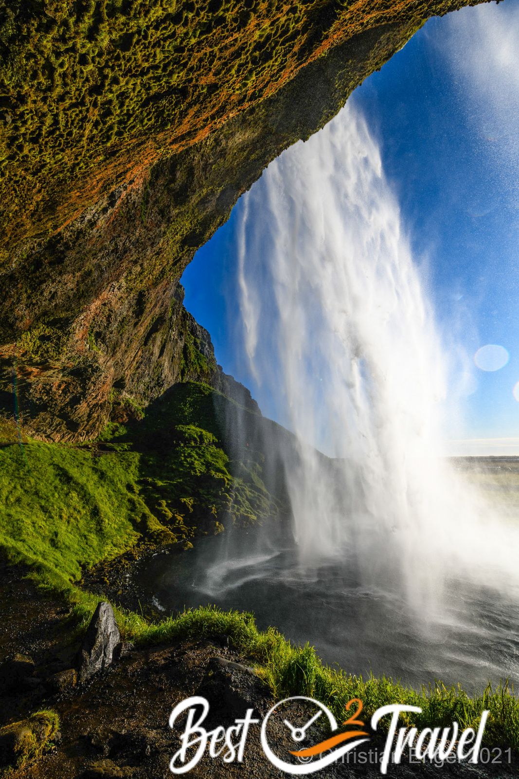
Seljalandsfoss and Skógafoss are two of Iceland’s most iconic waterfalls, both located directly off the Ring Road (Route 1) on the south coast. They pair perfectly on a single day trip from Reykjavík or as part of a longer south‑coast itinerary that includes Reynisfjara, Dyrhólaey, and the Sólheimasandur plane wreck. Visiting both gives you two very different waterfall experiences: Seljalandsfoss lets you walk behind the curtain of water (seasonal access), while Skógafoss offers a powerful, photogenic drop with a staircase to a high viewpoint.
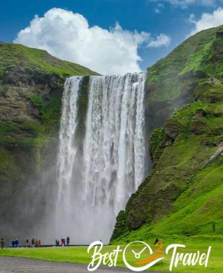
Iceland is a magical island of waterfalls and folklore — locals still tell stories about trolls — and the landscape often feels like a fairy tale. The south coast is also a popular filming location (Game of Thrones used many Icelandic sites), and Skógafoss appears in the first episode of Season 8. Combining dramatic scenery, cinematic history, and easy access from the Ring Road, a visit to Seljalandsfoss and Skógafoss feels like stepping into another world.
Key Facts at a Glance
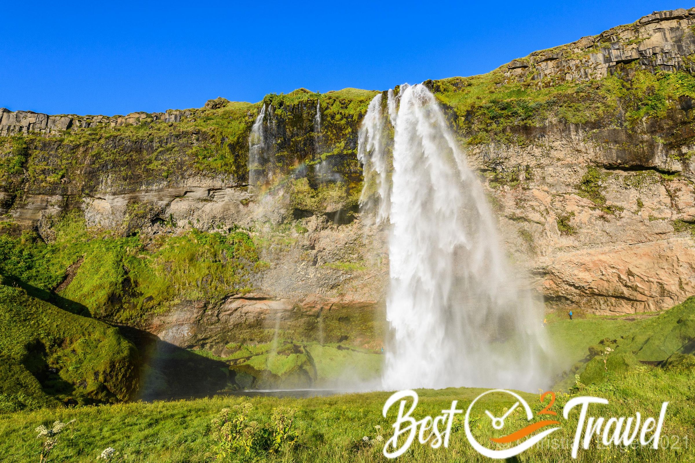
Seljalandsfoss
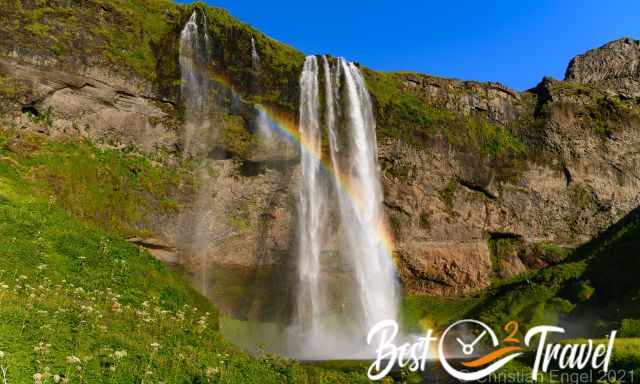
- Height: ~60–61 m; width: 11 m.
- Glacier‑fed: The waterfall is fed by pure melted glacial water from the well-known Eyjafjallajökull; massive eruptions significantly impacted air travel in 2010.
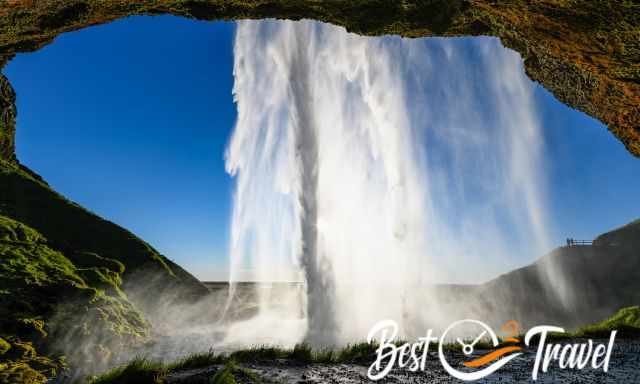
- Feature: Walk‑behind path (seasonal; often closed in winter for safety).
- Popular: It is one of the most famous falls, with roughly one million visitors annually
- Nearby: Gljúfrabúi (hidden waterfall) is a short walk north and absolutely amazing.
Skógafoss
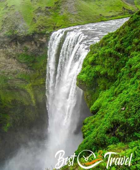
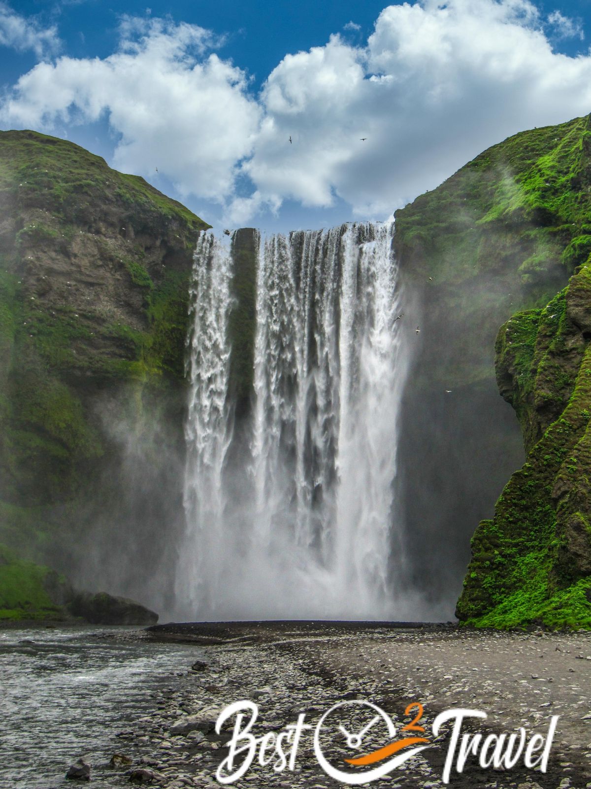
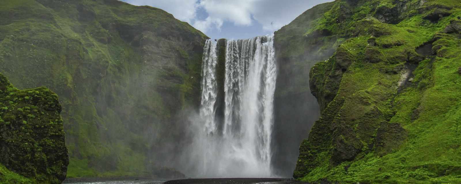
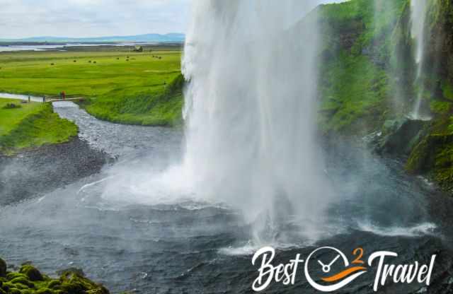
Skógafoss is one of Iceland’s most dramatic waterfalls — a powerful, curtain‑like drop with a huge flow and constant spray that often produces vivid rainbows on sunny days. The base is an excellent spot for classic frontal compositions, while a steep staircase on the right leads to a viewpoint and trails that follow the Skógá river upstream.
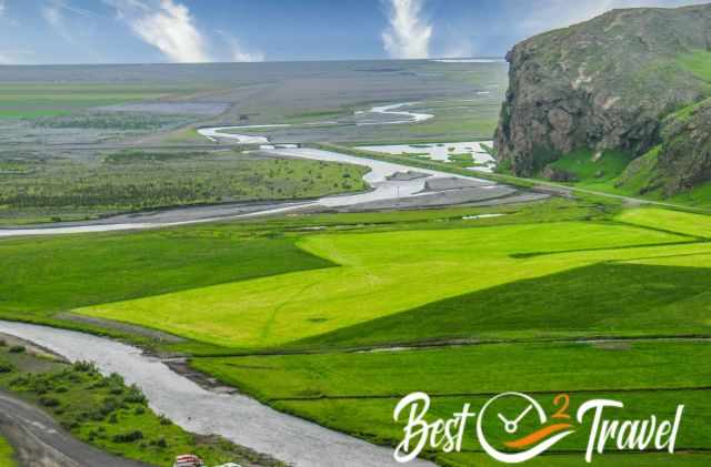
- Height: ~62–63 m; width: ~25 m.
- Big Flow and Spray: A massive amount of water plunges over the cliff, creating heavy spray — expect to get wet if you stand close; wear a waterproof jacket.
- Feature: Wide, powerful curtain; steep staircase to the top for panoramic views. The staircase is fitted with metal grating for traction. Protect your camera gear with a waterproof back from spray.
- Glacier‑Fed Rivers: Meltwater from two glaciers — Eyjafjallajökull and Mýrdalsjökull — feeds Skógafoss, giving the water its cold, clear quality.
- Ancient Coastline Cliffs: The sheer cliffs that form the waterfall were once Iceland’s coastline, adding geological interest to the site.
- Local Legend: A Viking saga says a golden chest was hidden behind the falls; the Skógar Museum (a short drive away) explores local history and folklore if readers want to learn more.
- Hotel Tip: Hótel Skógafoss by EJ Hotels is an excellent, convenient choice if you want to stay right next to Skógafoss — many rooms offer waterfall views, there’s an on‑site restaurant and breakfast, and the hotel is a perfect base for south‑coast sightseeing.
- Camping: The Skógar campsite operates all year, though you may need a bit of luck to find the facilities freshly cleaned on arrival.
Getting There & Parking
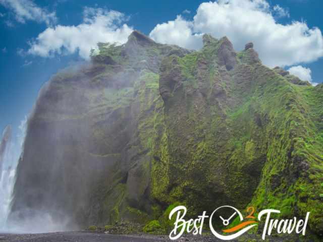
Location: Both waterfalls are directly accessible from the Ring Road (Route 1). Parking: Designated parking areas are available at both sites with visitor facilities nearby. Parking fees apply. Tip: Arrive early (before 09:00) or late afternoon to avoid the largest crowds and to secure parking easily.
Facilities, Accessibility & What to Expect
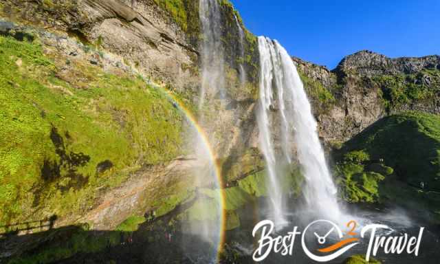
- Toilets & visitor services: Public toilets at both sites; seasonal cafés or food trucks may operate in high season.
- Accessibility:
- Seljalandsfoss: Short walk from parking to the falls; the path behind the waterfall is uneven, wet, and not suitable for wheelchairs or strollers.
- Skógafoss: Flat viewing area at the base is relatively accessible; the staircase to the top is steep and not wheelchair‑friendly.
- Seasonal closures: The path behind Seljalandsfoss is often closed in winter due to ice and falling icicles — so do not approach the path behind Seljalandfoss if it is closed!
Best Time of Day & Season Tips
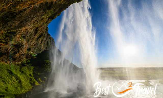
- Best time of day: Early morning (sunrise–09:00) or late afternoon (16:00–19:00) for fewer people and softer light.
- Summer (June–Aug): Long daylight, warmest weather, busiest crowds. There isn't any sunset in the summer, the "polar day" when light remains for 24 hours. It is a natural phenomenon due to its proximity to the Arctic. The sun doesn't fully set, and it is not a totally bright light, but also not dark. I experienced it once during my vacation; I found it strange that I could still see everything from the accommodation room late at night.
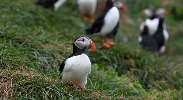
- Puffins: If you want to see puffins during your South Coast trip, visit Iceland between April and August. Dyrhólaey, which is easy to combine with Skógafoss and Seljalandsfoss, is one of the best places to observe them during the breeding season.
- Shoulder seasons (April and May, Sep. & Oct.): Probably northern lights, less rain, fewer visitors, good balance of accessibility and atmosphere.
- Winter (Nov–Mar): Short days, dramatic ice formations, possible path closures; bring crampons and check safety notices.
- Photography note: Late afternoon light often produces rainbows at Skógafoss on sunny days; Seljalandsfoss is best photographed with the sun behind the waterfall (late afternoon in summer).
Below you can find more details about the climate, weather and what to expect in Iceland.
Climate And Weather — South Iceland
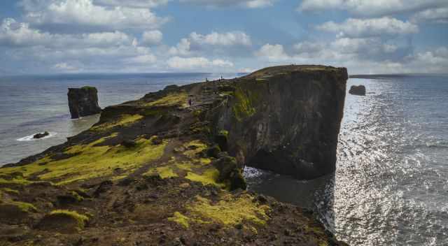
The south coast of Iceland has a relatively mild maritime climate thanks to the Gulf Stream, making it the warmest region in the country. Still, Icelandic weather changes quickly: you can need rain gear and light layers in the same day. Plan for wind, rain, and sudden temperature shifts year‑round.
What to expect by month
- April: Unpredictable — still cold and icy at times, but the first signs of spring can appear.
- May: Generally pleasant; daytime temperatures often around 10°C.
- July–August: Warmest months, with daytime highs sometimes reaching 20°C; also the busiest period.
- September: Still a great month for visits; crowds thin and daytime temps typically range from 10–17°C.
- October: Variable — a mix of mild days and early snow or heavy rain.
- November–March (Winter): The most challenging period: heavy rain, strong winds, snow and ice, possible road closures, and short daylight (often 4–6 hours). If you travel in winter, bring crampons or microspikes for icy paths; note that despite winter conditions this area is often above freezing more frequently than inland Iceland.
Trails, Safety & Packing List
- Short walks: Both falls have short, well‑marked paths from the parking areas.
- Extended hikes: From Skógafoss you can follow the Skógá river upstream for multi‑waterfall hikes; Seljalandsfoss is a short detour from other south‑coast trails.
- Safety:
- Paths are wet and slippery; wear sturdy, waterproof footwear.
- The area around Seljalandsfoss and Skogafoss sprays heavily — waterproof jackets and camera protection are essential.
- Winter hazards: ice, falling icicles, and closed paths — recommend checking local road and site updates.
- Packing list: Waterproof jacket, quick‑dry layers, sturdy hiking shoes, spare socks, camera protection, small towel, and microspikes/crampons in winter.
Photography Tips & Best Viewpoints
- Seljalandsfoss: Walk the path behind the falls for a unique backlit shot; use a wide‑angle lens and protect gear from spray. If the path is closed, shoot from the front and include the surrounding cliffs for scale.
- Gljúfrabúi: A short walk north of Seljalandsfoss; enter the narrow canyon for dramatic, moody shots. You must walk through icy cold water to get here.
- Skógafoss: Shoot from the base for the classic frontal composition; climb the steep staircase to capture the river valley and the waterfall from above. Use ND filters for silky water effects and a fast shutter to freeze spray.
- Crowd control: Use early morning or late evening light to avoid people in the frame; long exposures help blur moving visitors.
Nearby Highlights & Where to Stay
- Gljúfrabúi: Hidden waterfall a few minutes’ walk from Seljalandsfoss — a must‑see short detour.
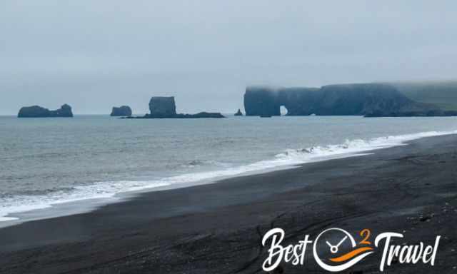
- Reynisfjara & Dyrhólaey: Black‑sand beach and dramatic sea stacks — combine with a south‑coast loop.
- Sólheimasandur plane wreck: 4 km walk from the parking area (flat but exposed).
- Skógar Museum: Folk museum near Skógafoss with local history and artifacts.
- Where to stay: Options range from guesthouses near Hvolsvöllur and Skógar to hotels in Vík or Hella. Staying one night on the south coast lets you photograph both falls in different light and explore nearby attractions.
Practical Tips for Visitors
- Timing: Allow 30–60 minutes per waterfall for a basic visit; longer if you plan to hike or photograph.
- Crowds: Both sites are extremely popular in summer; plan accordingly.
- Weather: Icelandic weather changes quickly — dress in layers and expect wind and spray near the falls. Check local road and weather updates before heading out — conditions can change fast.
- Footwear: Sturdy, waterproof shoes are essential; add microspikes in winter.
- Respect nature: Stay on marked paths to protect fragile vegetation and for your safety.
- Directions Reykjavík - Seljalandsfoss - Skógafoss - Dyrhólaey by Google Maps
Quick FAQ
Q: Is the path behind Seljalandsfoss always open? A: No — the path is seasonal and often closed in winter for safety due to ice and falling icicles. Check local updates before visiting.
Q: Can I visit both waterfalls in one day from Reykjavík? A: Yes — both falls are on the Ring Road and can be combined on a day trip, though staying overnight on the south coast gives more flexibility for light and weather.
Q: Are the waterfalls wheelchair accessible? A: Base viewpoints are relatively accessible, but the path behind Seljalandsfoss and the Skógafoss staircase are not suitable for wheelchairs.
Best Months to Visit
Location and Tips

With thousands of waterfalls, Iceland is a magical island where residents believe in trolls. For a good reason, Iceland is one of the main locations in the "Game of Thrones", and Skogafoss was featured in the first episode of season 8. Visiting this country feels like being transported into a fairy tale.