Hike from Ninglinspo to Ambleve River | Best Time 2 Visit | Weather and Hiking Guide
Hike from Ninglinspo to Ambleve River

Hike from Ninglinspo to Ambleve River

Belgium
Belgium

When Is the Best Time

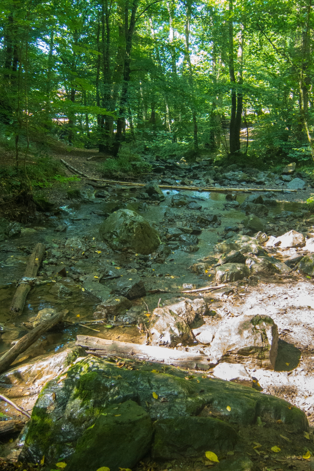
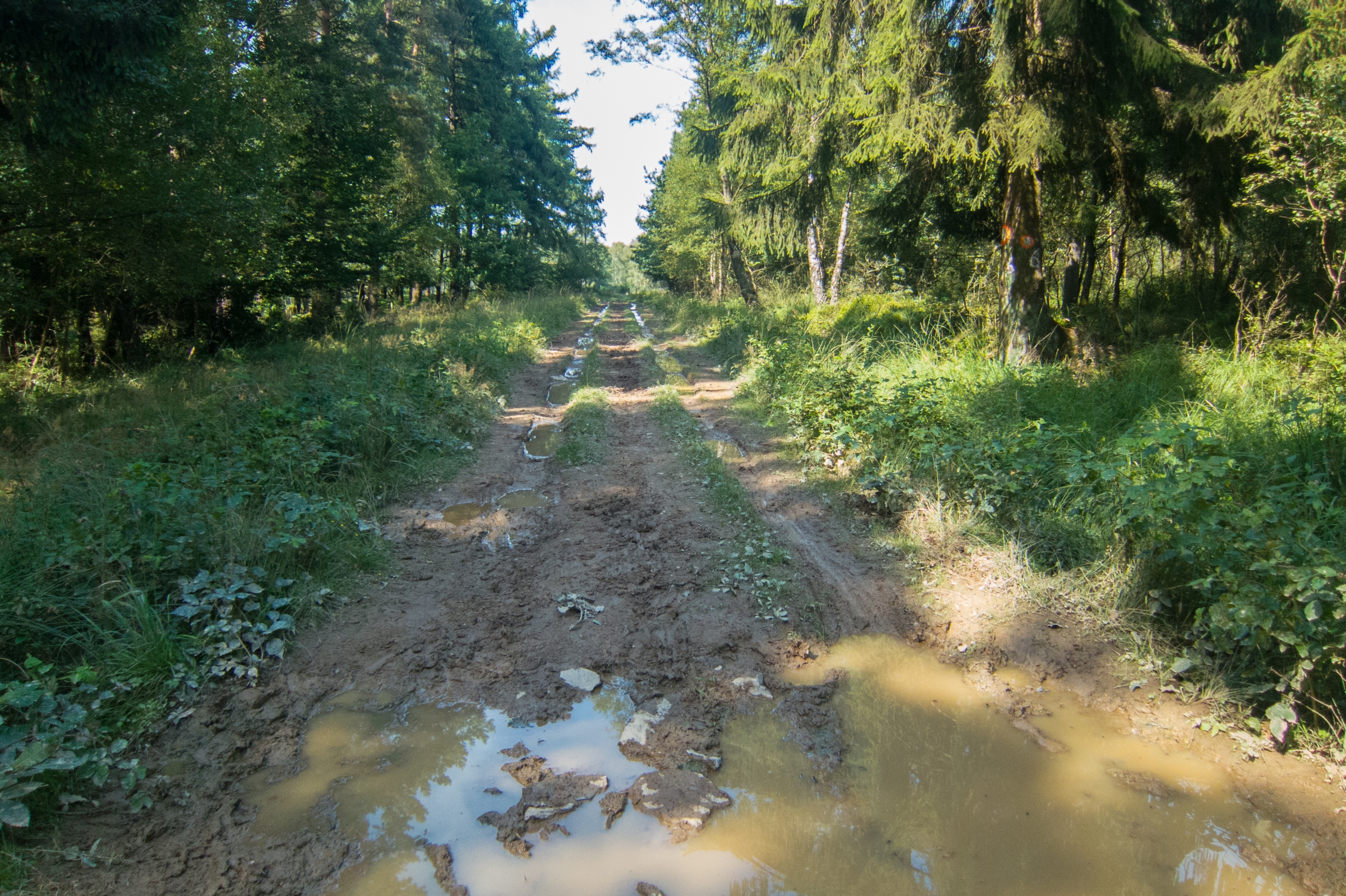
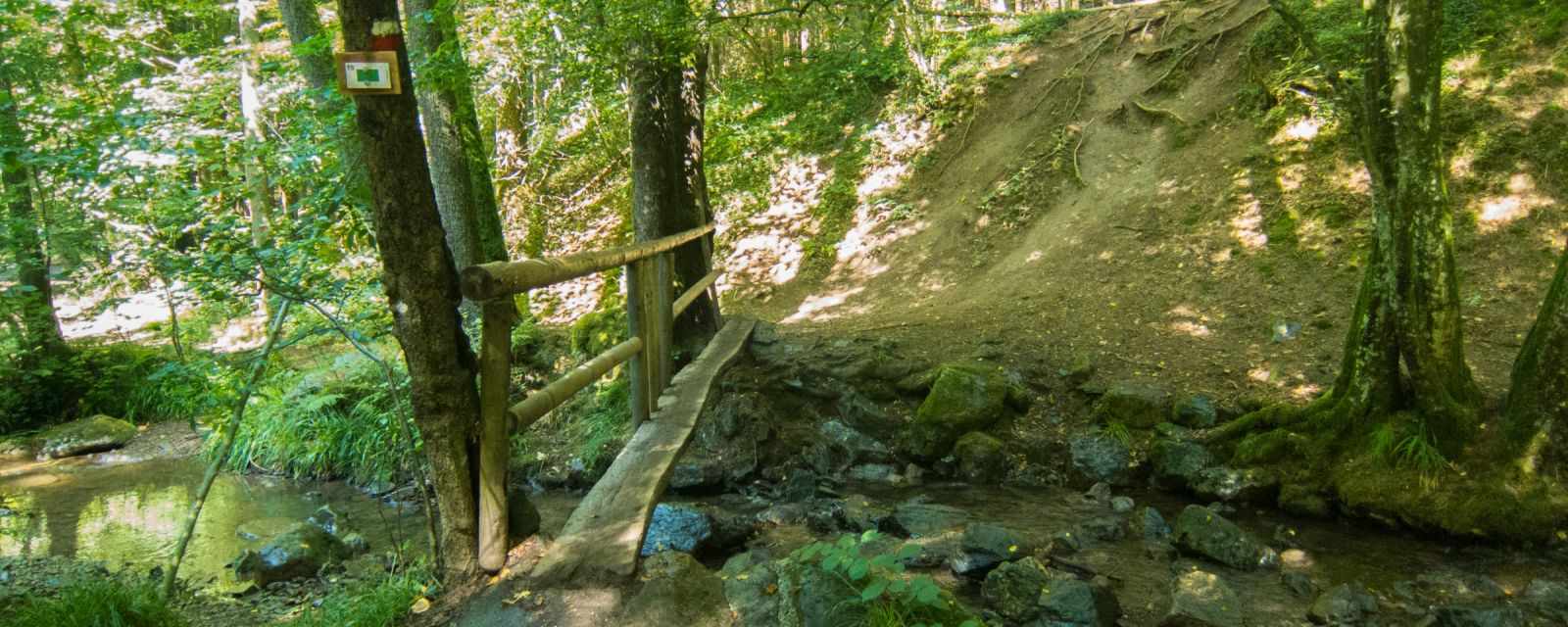
It's an awesome day hike south of Liege in Belgium close to the German border. The walking path close to the streams is often slippery and muddy, especially after heavy rainfall. Parts of the trail can get flooded in bad weather. Therefore, check the weather forecast before you plan hiking along the stream. It's an adventures hike in all seasons, but be prepared to stick in the mud. 

However, don't let the weather spoil your amazing day out in the woods. Wear appropriate clothes, proper hiking shoes, and have fun.

Best Months to Visit

Jan
Feb
Mar
Apr
May
Jun
Jul
Aug
Sep
Oct
Nov
Dec

Related Topics

Location and Tips

Remouchamps
Belgium
Belgium

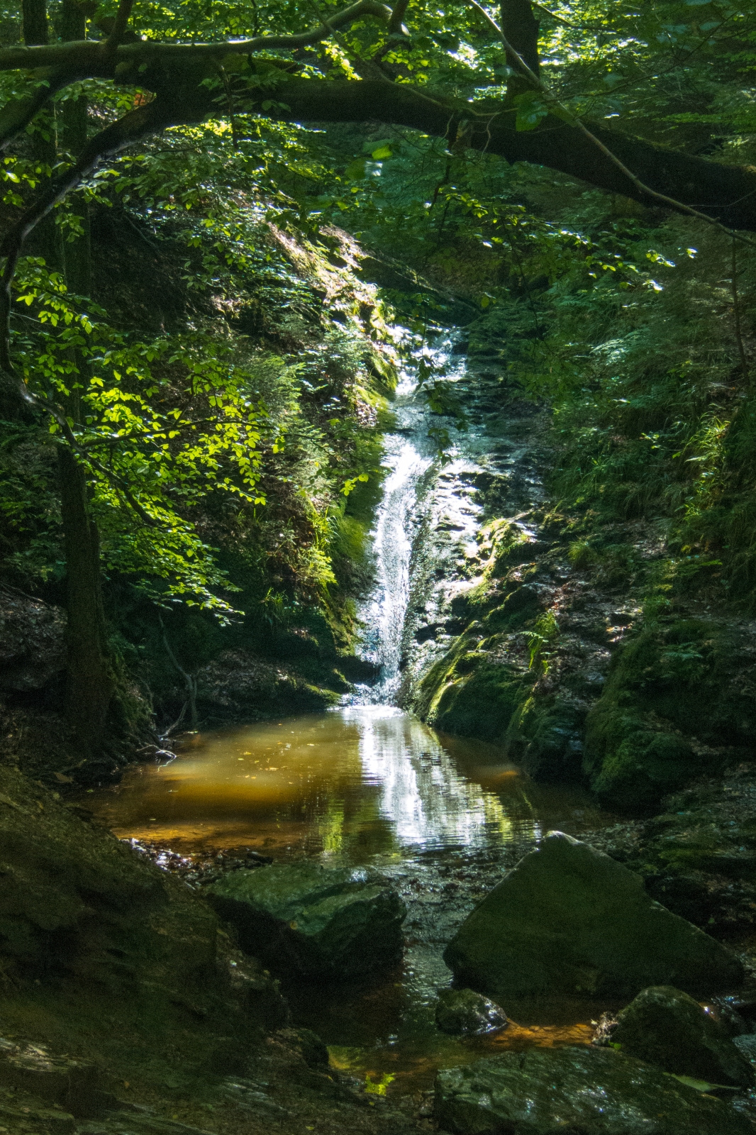
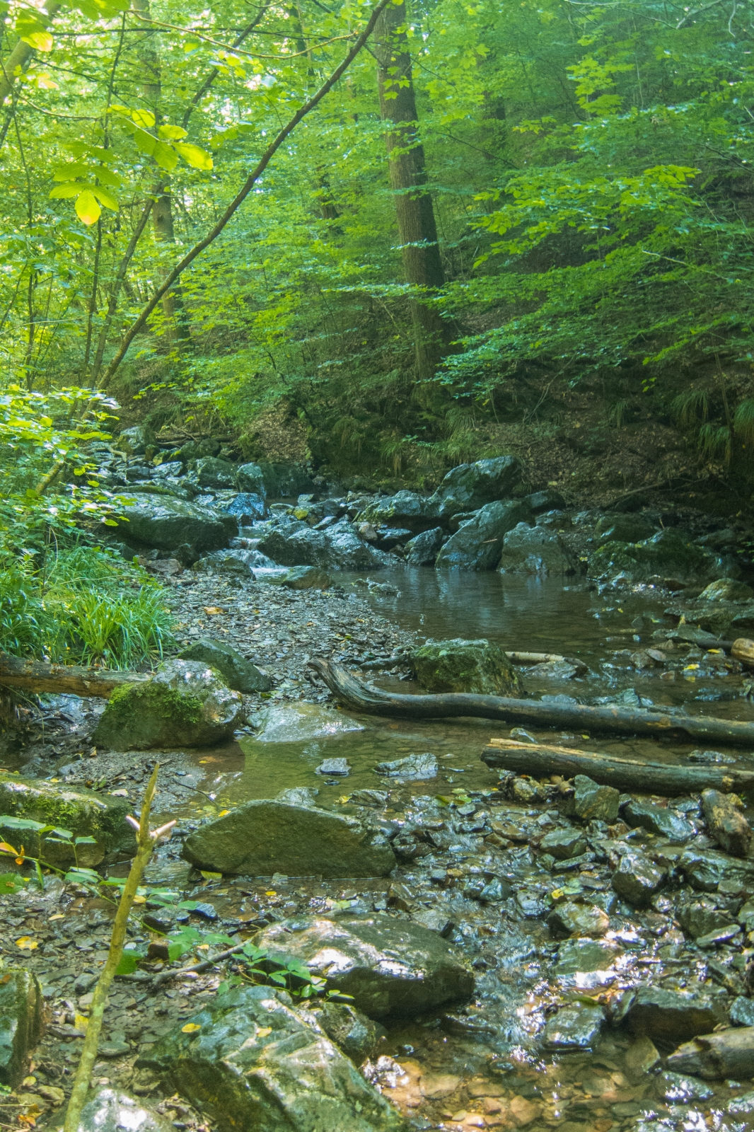
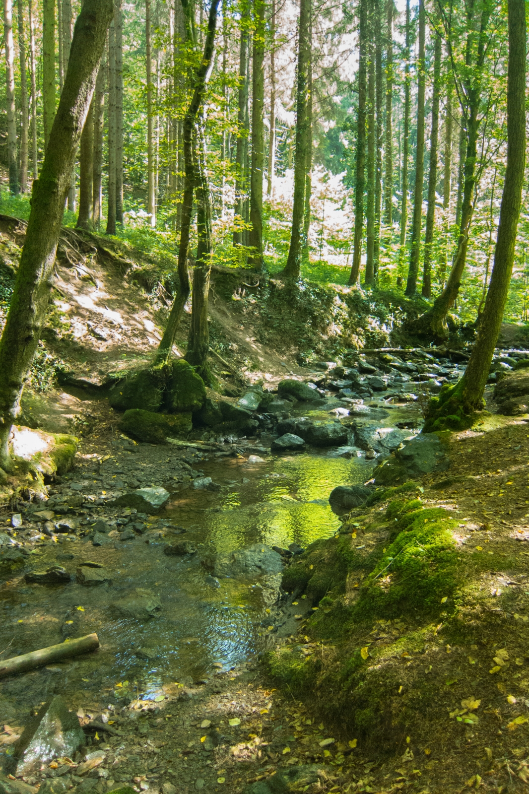
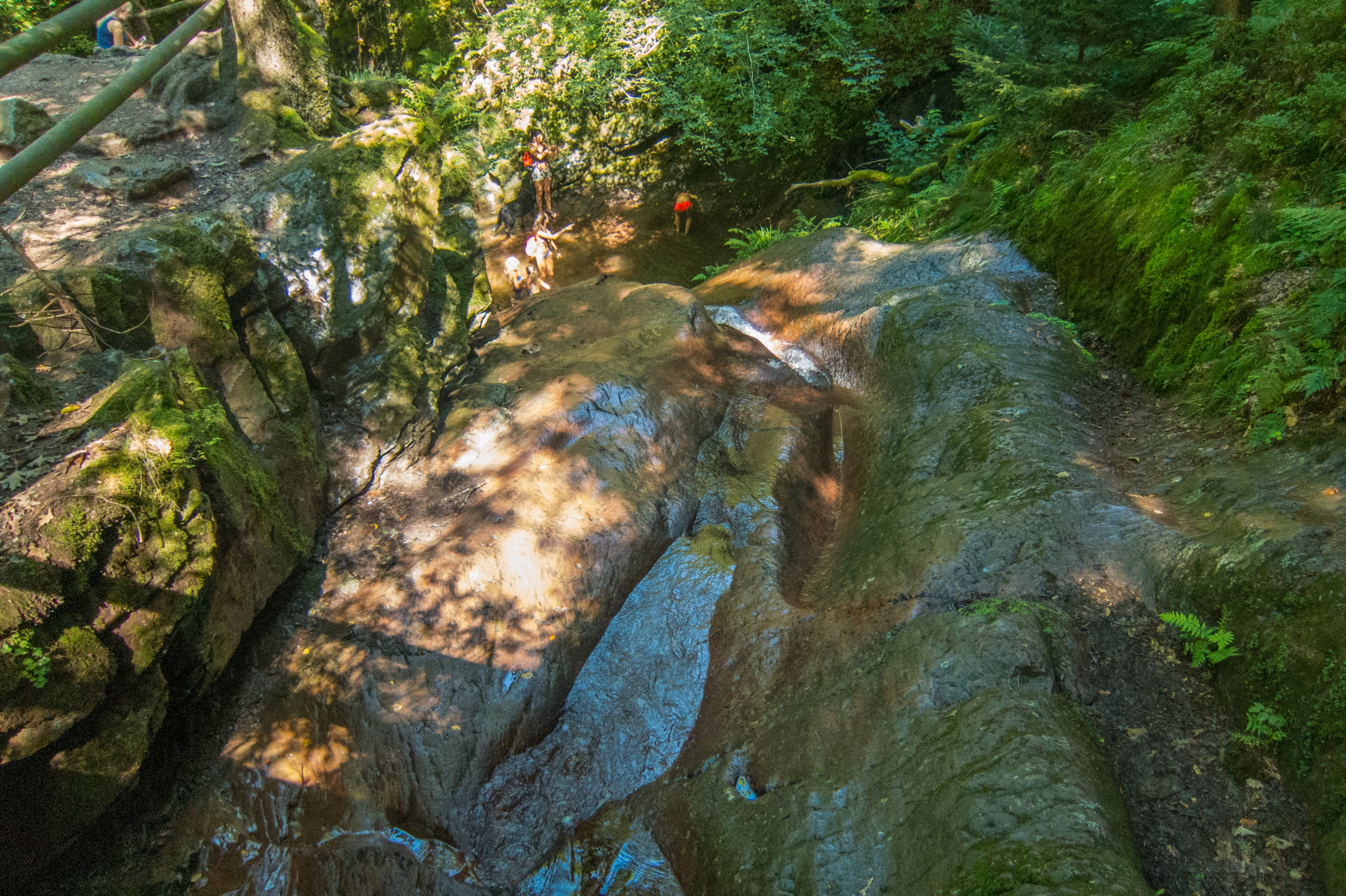
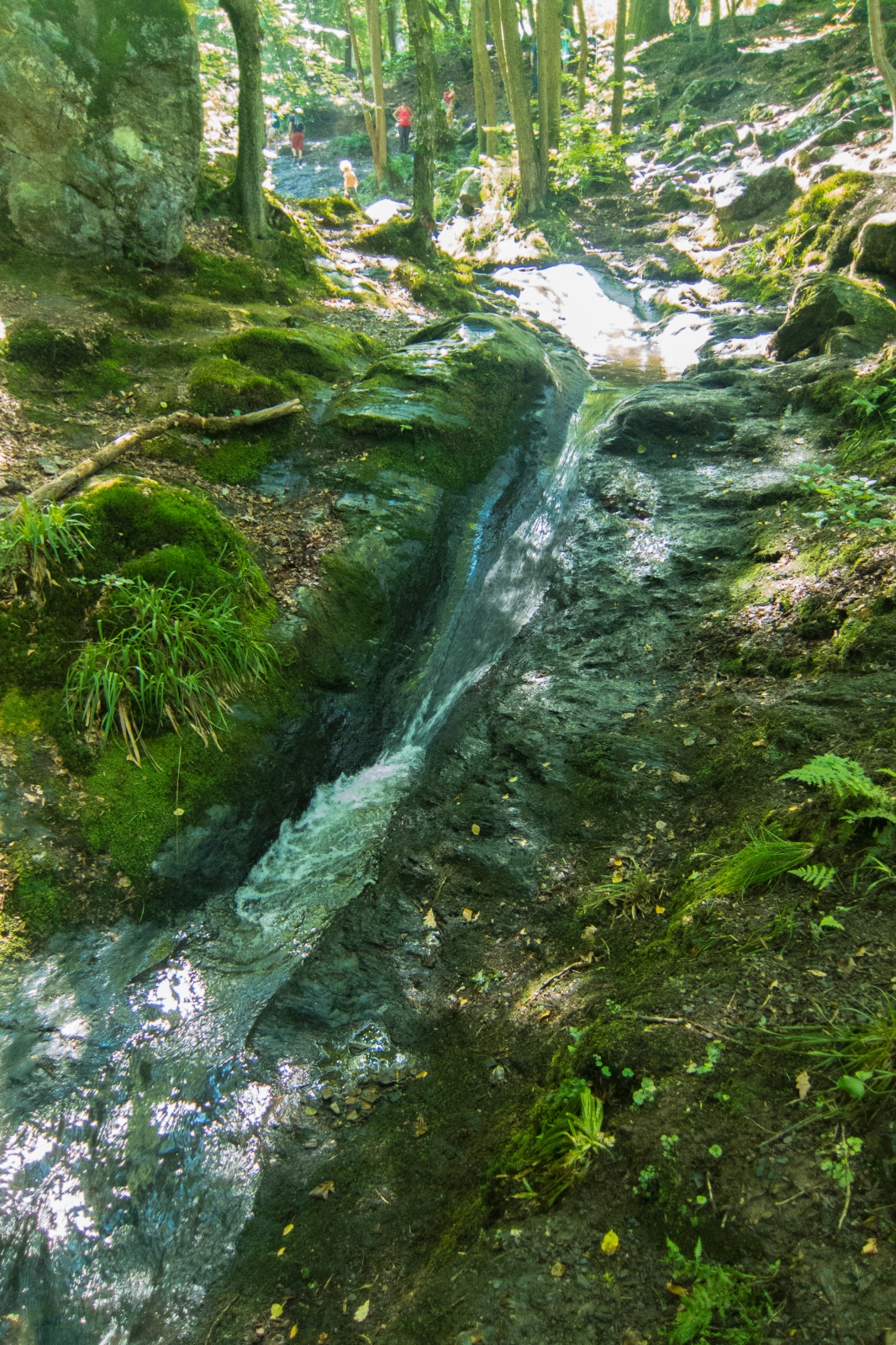
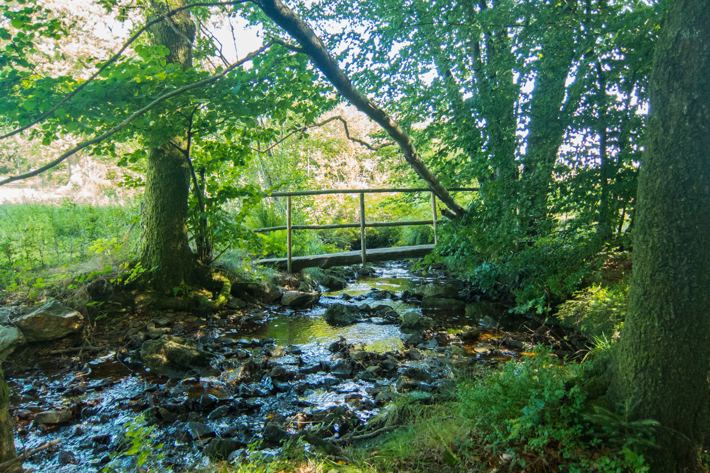
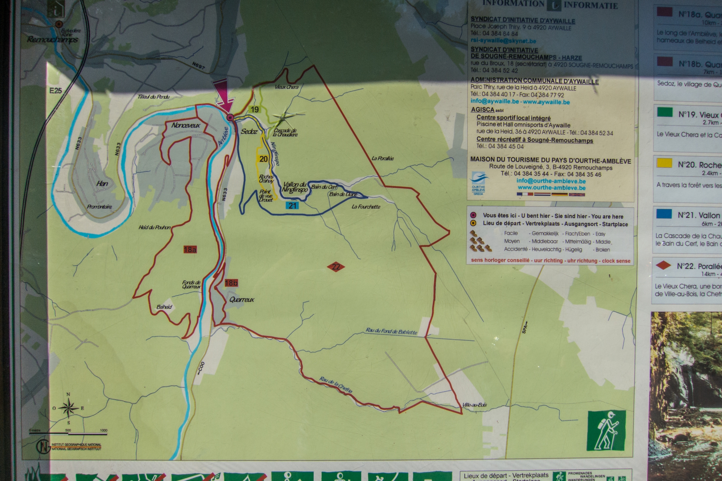
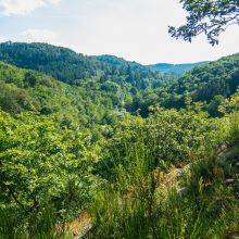
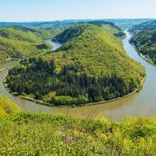
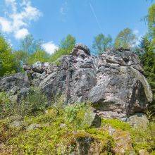
It is a stunning 14.5 km/4-5 hours hike along the most picturesque stream of Belgium. The track leads along the untamed streams Ninglingspo and Chefna to the Ambleve river with rapids and quartzite blocks.

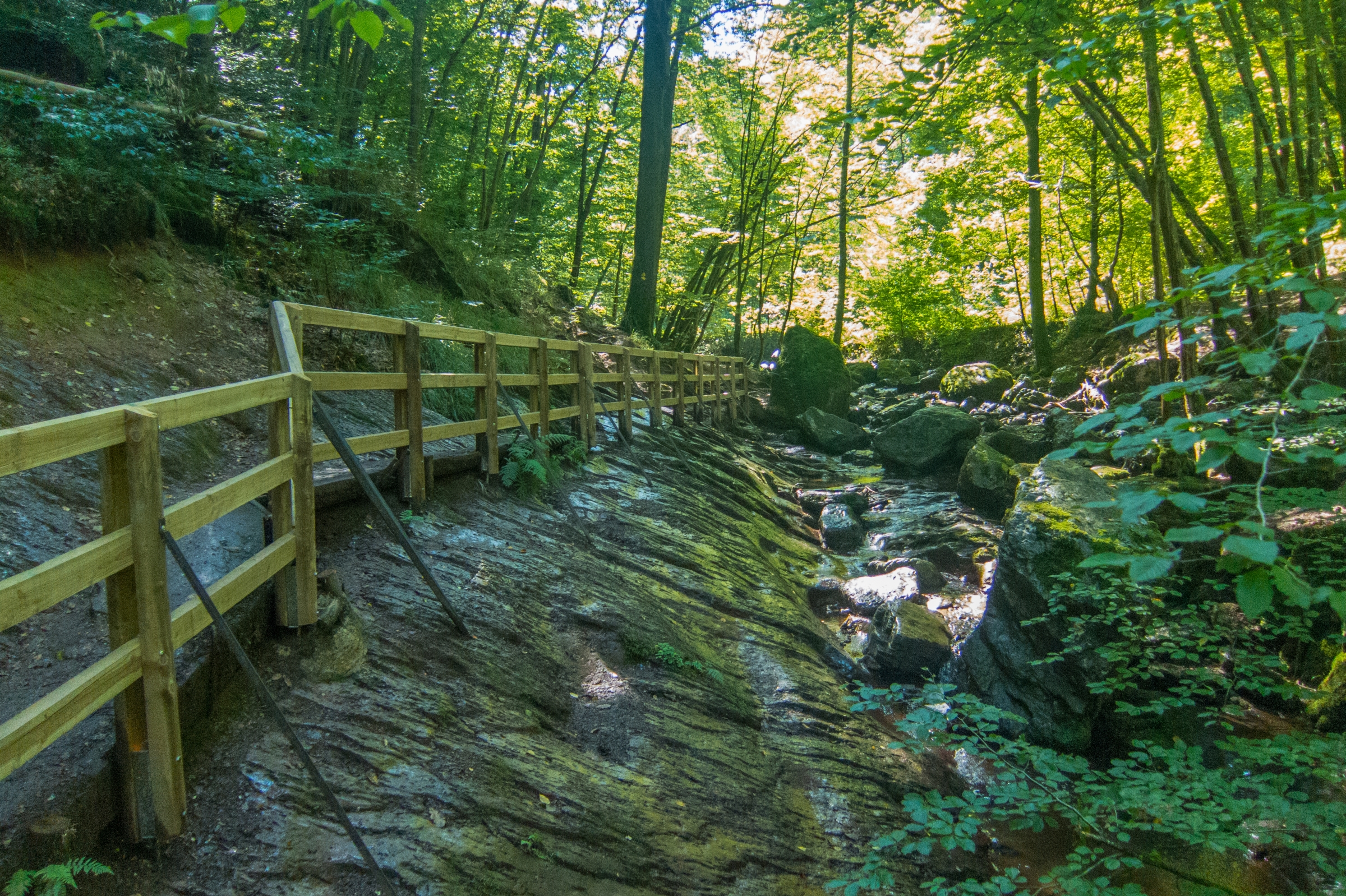
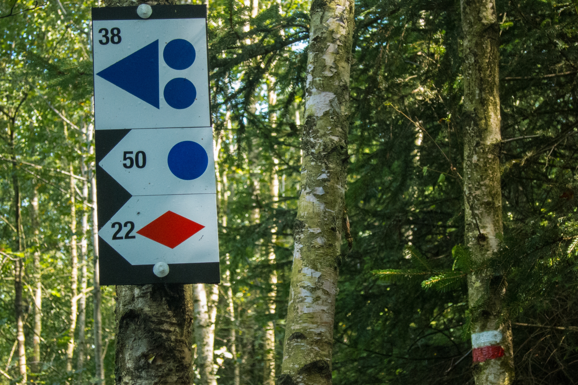
The hikes are marked, therefore, many opportunities to combine different trails. We prefer circular trails the reason we combined the first part of the Ninglinspo hike, nb 21 (blue rectangle), with a short part of the MTB track 38 (triangle with dots) to get to trail 22 (red rhombus) to the Ambleve River. At the beginning it's a long ascent for almost an hour; hiking poles may be helpful. The trail leads along slippery rocks and small bridges always crossing the stream. It was a fantastic hike during a hot summer day. At the end of the track at the Ambleve River are some pools perfect for cooling down. Nevertheless, don't swim in the river; strong currents occur even dangerous for experienced swimmers.

Bear in mind; if there was heavy rainfall the day before you may wade through mud.

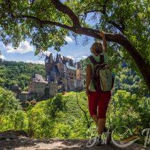
Nearby are the caves of Remouchamps. The first part of the cave is visited on foot and the second by boat over the subterranean river almost 600 meters in length.

More information about Remouchamps Cave

Nearby Places
Wild Daffodil Trail and Bieley Rock
38 km
Wild Daffodil Trail and Bieley Rock
The wild daffodil in the nature protected area at Perlenbach- and Fuhrtsbachtal…
Ordensburg Vogelsang and Hike
51 km
Ordensburg Vogelsang and Hike
The former National Socialist (NS) „Ordensburg“ Vogelsang is located at Urft…
Rohrdommel-Projekt - Common Bittern Project
103 km
Rohrdommel-Projekt - Common Bittern Project
The Common Bittern project is an area which was renatured by the Biological…
Cochem Castle - Reichsburg Castle at Moselle River in Germany
107 km
Cochem Castle - Reichsburg Castle at Moselle River in Germany
The first tourists came to the River and Valley Moselle in the 19th century,…
Saarburg Waterfall and Saarburg Castle in Germany
112 km
Saarburg Waterfall and Saarburg Castle in Germany
The waterfall is located in the beautiful old town centre of Saarburg and…
Layensteig
116 km
Layensteig
There are 111 hiking trails in Saarland and Rhineland-Palatinate called "…
Eltz Castle – 3 Best Viewpoints – History and Panorama Trail
117 km
Eltz Castle – 3 Best Viewpoints – History and Panorama Trail
The 40 m/ 131 ft high Eltz Castle has already belonged to the same family for…
5 Tips and Parking for Geierlay - Suspension Bridge in Germany
121 km
5 Tips and Parking for Geierlay - Suspension Bridge in Germany
Geierlay is the second-longest suspension bridge in Germany, 360 meters long at…
Saarschleife - Saarloop
122 km
Saarschleife - Saarloop
There are 111 hiking trails in Saarland and Rhineland-Palatinate which are…
Felsenweg - Rock Trail - Saar Hunsrueck
125 km
Felsenweg - Rock Trail - Saar Hunsrueck
There are 111 hiking trails in Saarland and Rhineland-Palatinate called "…
Created by
Micha Herber-Bleich
Micha Herber-Bleich
I am always open, curious about new…