
When Is the Best Time
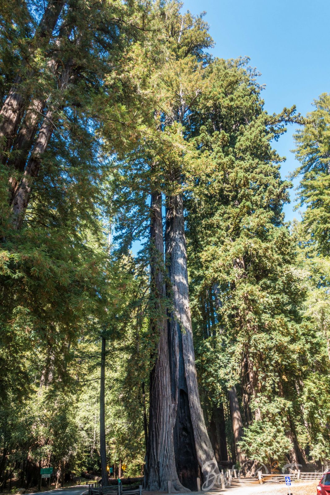
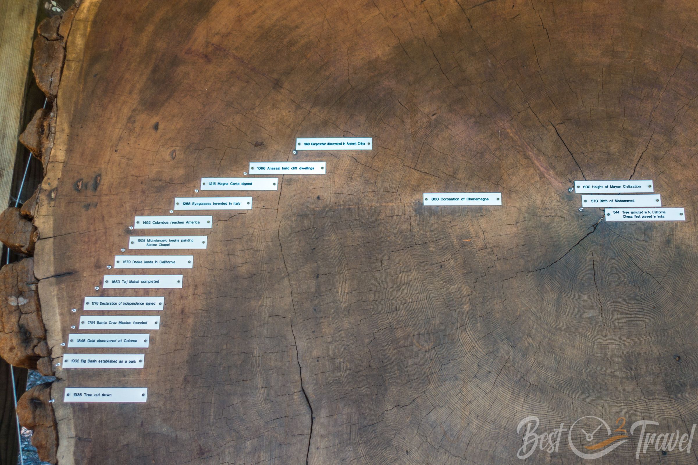
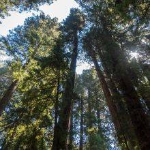
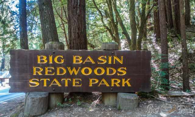
Big Basin Redwoods State Park is California’s oldest state park, established in 1902, and located about 65 miles south of San Francisco. It is home to some of the most impressive coastal redwoods in the world. When we visited, the forest felt ancient, peaceful, and almost untouched — a cathedral of towering trees, soft light, and quiet trails. Sadly, everything changed in August 2020, when the CZU Lightning Complex Fire swept through the Santa Cruz Mountains and burned 97% of the park over 18,000 acres. However, no one died during this devastating fire.
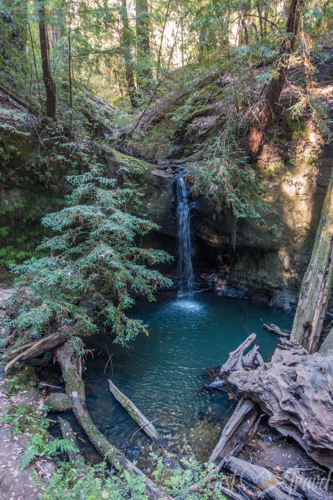
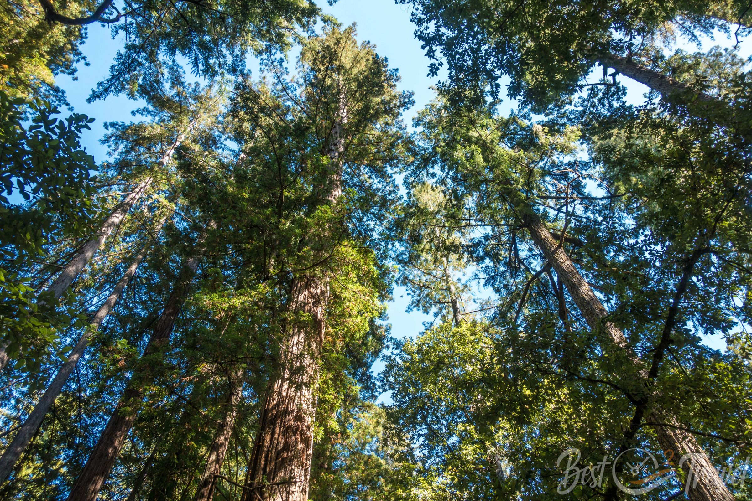
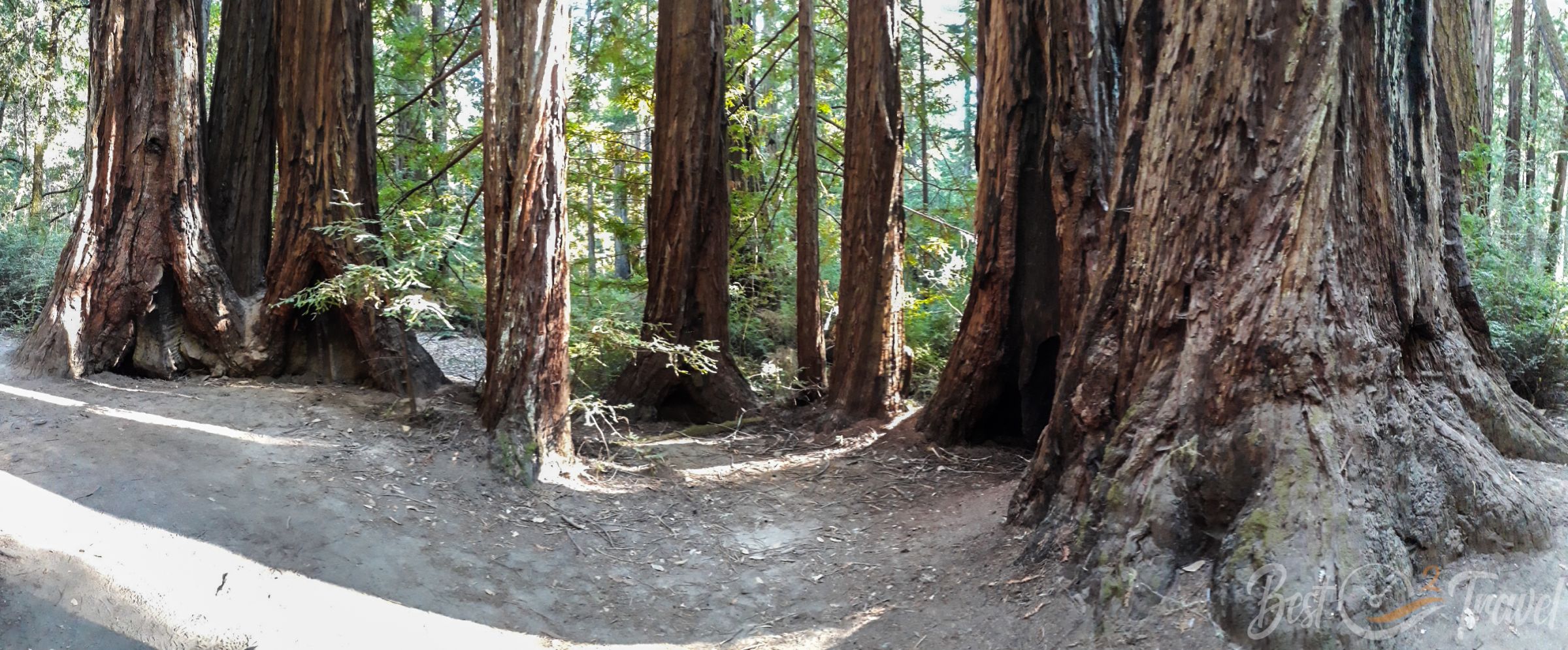
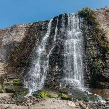
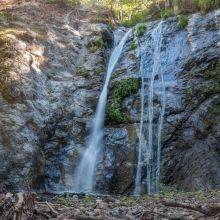
All photos in this article were taken before the catastrophic fire.
A Park Transformed — What Happened in 2020
The 2020 CZU Lightning Complex Fire was one of the most destructive wildfires in California’s history. At Big Basin, the fire:
- Burned 97% of the park’s 18,000 acres
- Destroyed the historic park headquarters, visitor center, and campgrounds
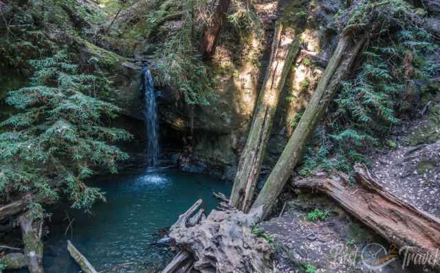
- Severely damaged popular trails, including the route to Berry Creek Falls
- Left the forest deeply scarred, but not lifeless
Despite the destruction, many of the ancient redwoods survived. Their thick bark protected them, and within weeks, green shoots appeared along the trunks — a powerful reminder of how resilient these trees are.
Big Basin Today — What Visitors Can Expect
Big Basin has partially reopened, but the experience is very different from what we knew before the fire.
- Access is limited to selected fire roads and temporary trails
- Facilities are minimal — no potable water, limited restrooms
- Parking is reservation‑based during peak times
- Berry Creek Falls and many interior trails remain closed for years
- A new Saddle Mountain Welcome Center now serves as the temporary visitor hub
The park is in a long‑term rebuilding phase, and the landscape is still recovering. Visitors today will see a mix of blackened trunks, new growth, and open views where dense forest once stood.
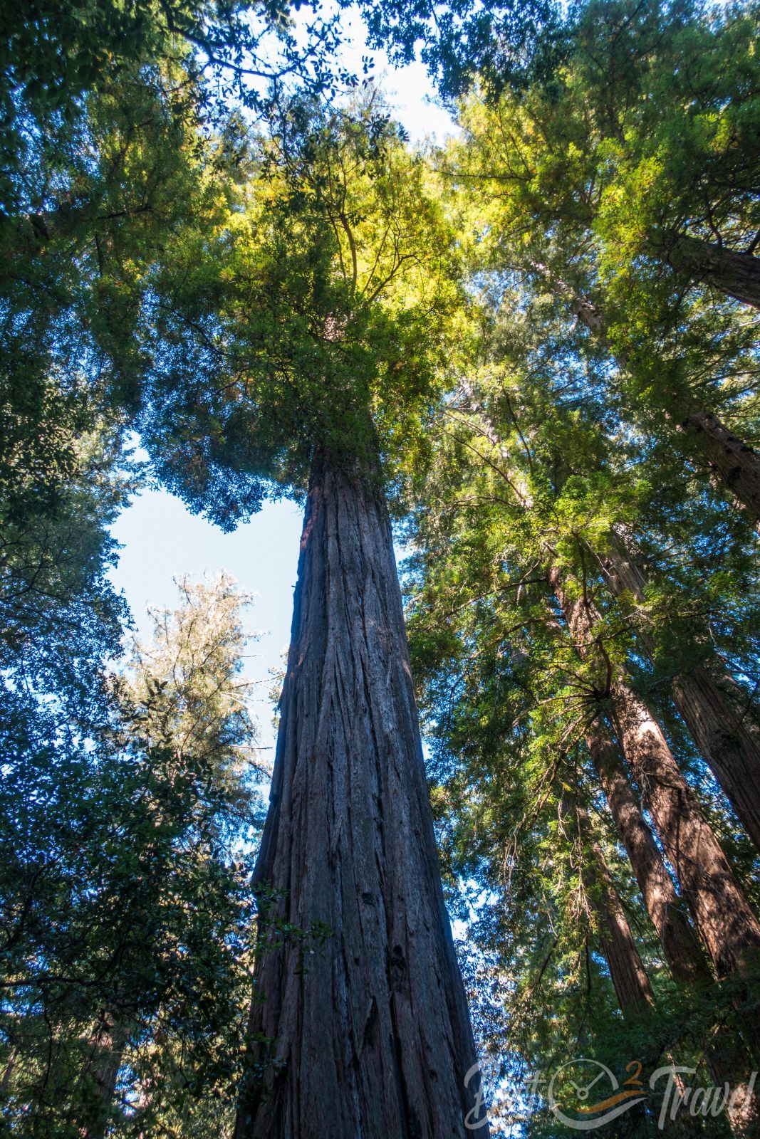
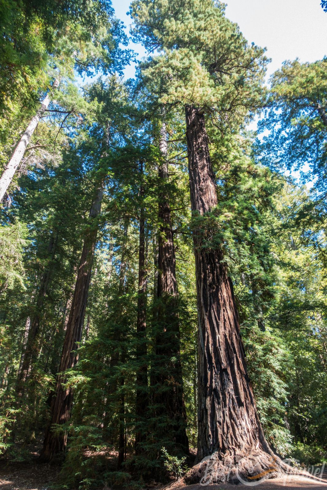
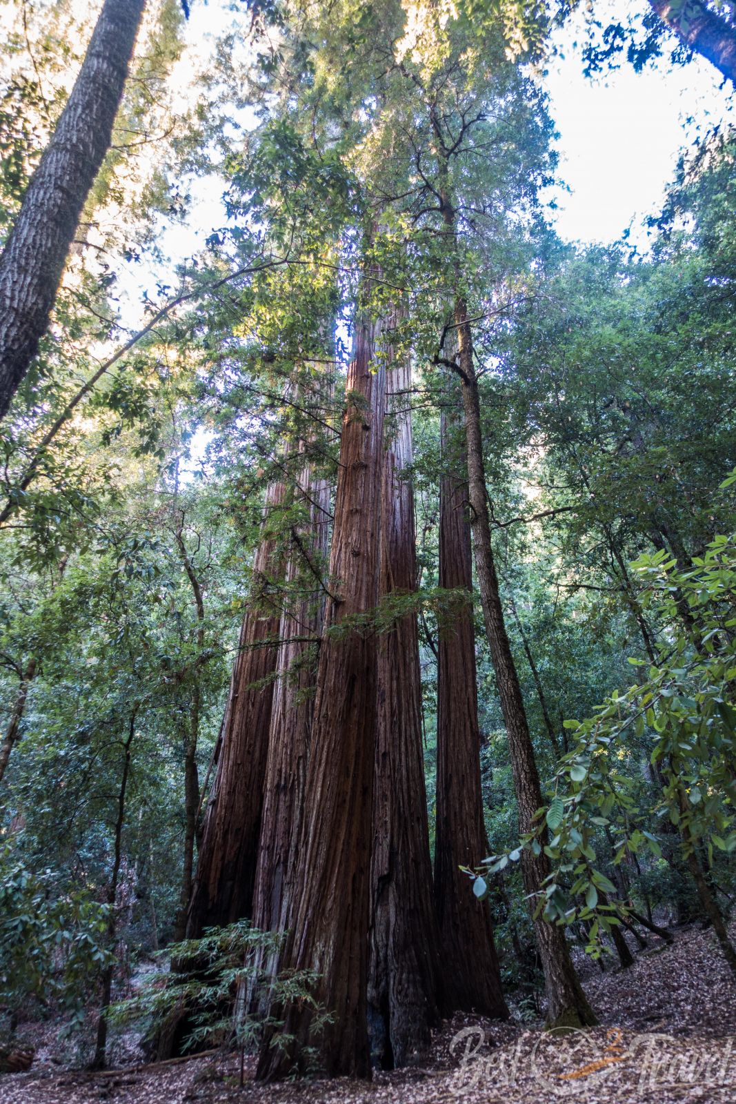
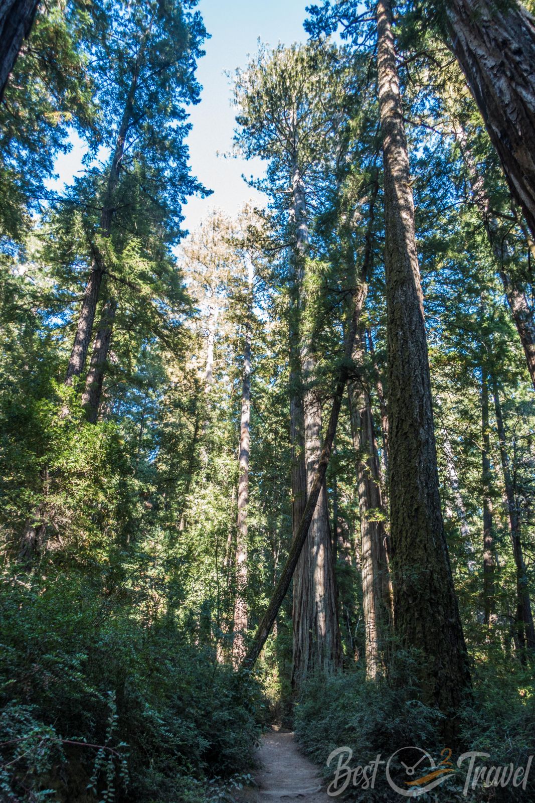
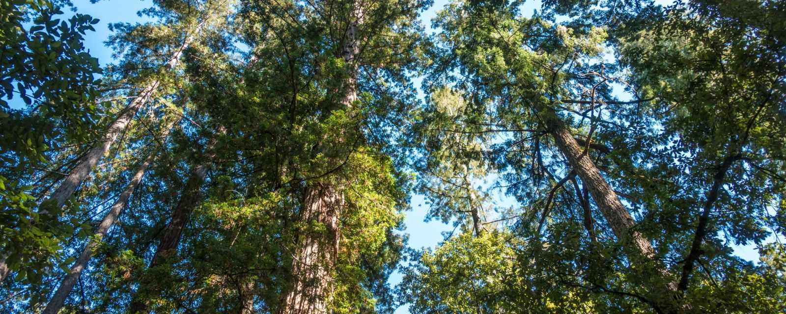
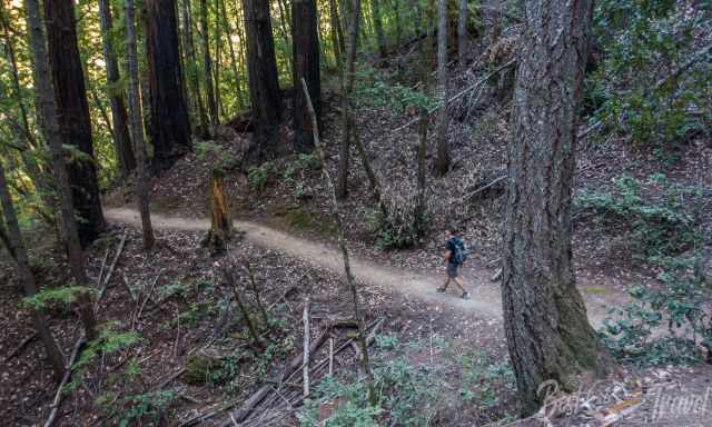
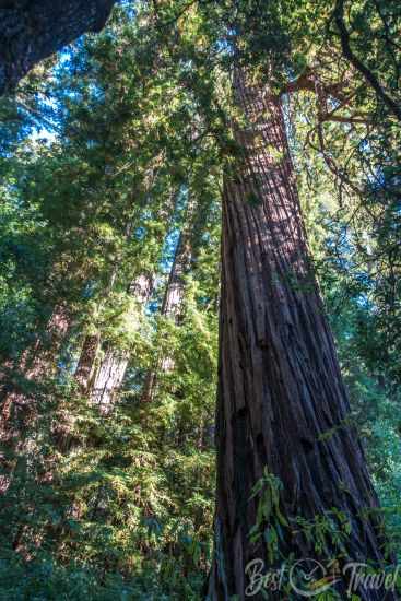
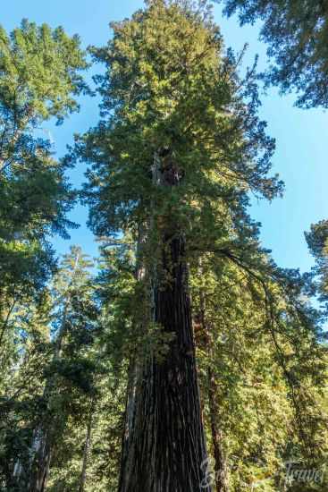
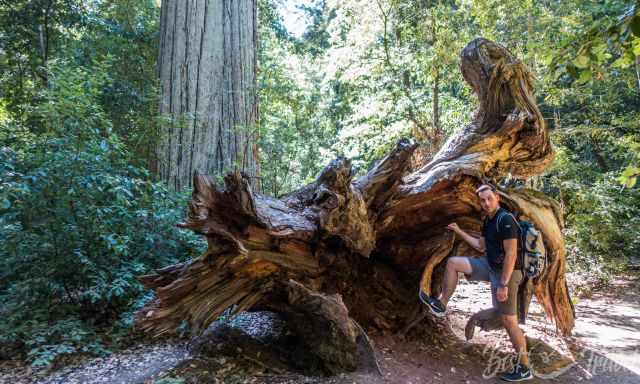
Our Visit — Big Basin Before the Fire
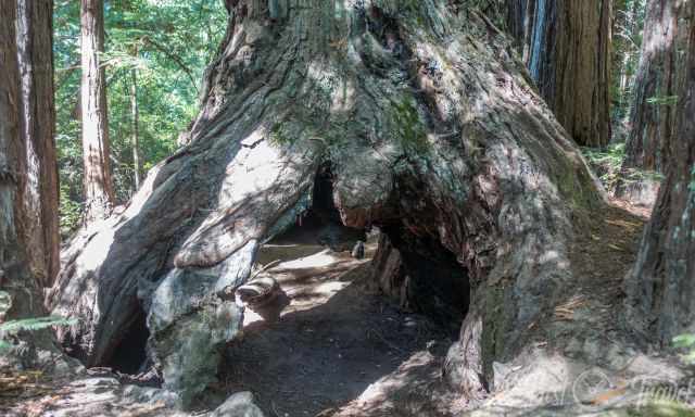
We were fortunate to explore Big Basin before the fire changed everything. The forest felt timeless, with massive redwoods rising hundreds of feet above the trail and sunlight filtering through the canopy. Walking among these giants was one of the most peaceful experiences we’ve had in California.
Even though the park looks different now, the spirit of Big Basin remains — and the redwoods are slowly reclaiming the landscape.
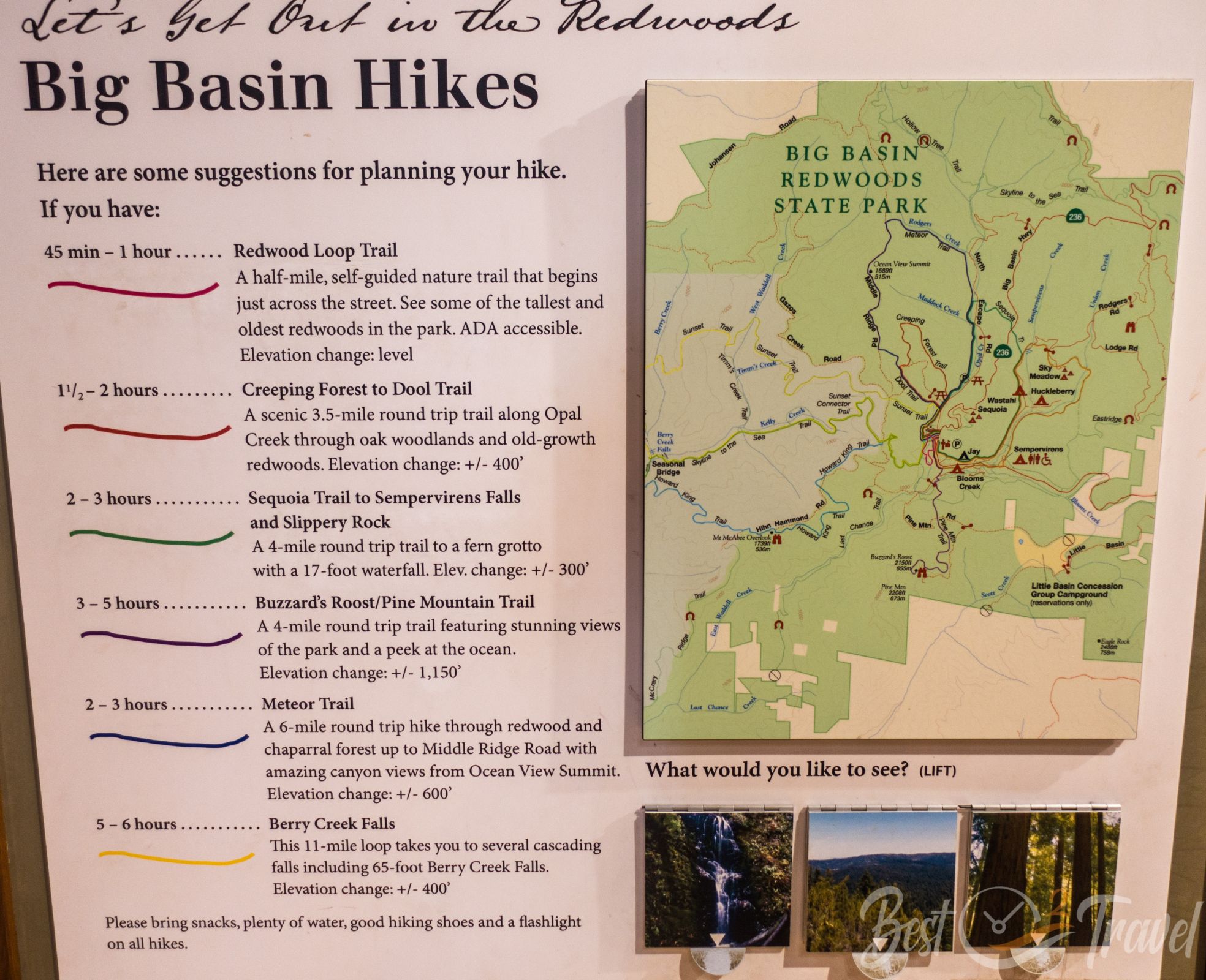
Trails (Before vs. After)
Pre‑Fire Highlights
These trails were among the most beautiful in the Santa Cruz Mountains:
- Redwood Loop Trail
- Berry Creek Falls Trail
- Skyline to the Sea Trail
- Sunset Trail
Current Trail Access
Today, only selected areas are open:
- Dool Trail (short loop through recovering forest)
- Gazos Creek Road
- North Escape Road
- Skyline to the Sea Connector (limited access)
Berry Creek Falls remains closed due to severe damage.
Best Time to Visit Big Basin Now
- Spring: Best for wildflowers and new growth
- Summer: Warm, but reservations required
- Fall: Clear skies, fewer visitors
- Winter: Moody atmosphere, but trails may close after storms
The forest is still regenerating, so expect a very different experience than before 2020.
How to Visit Today
- Parking reservations recommended
- No drinking water available — bring your own
- Limited shade due to canopy loss
- Check trail closures before visiting
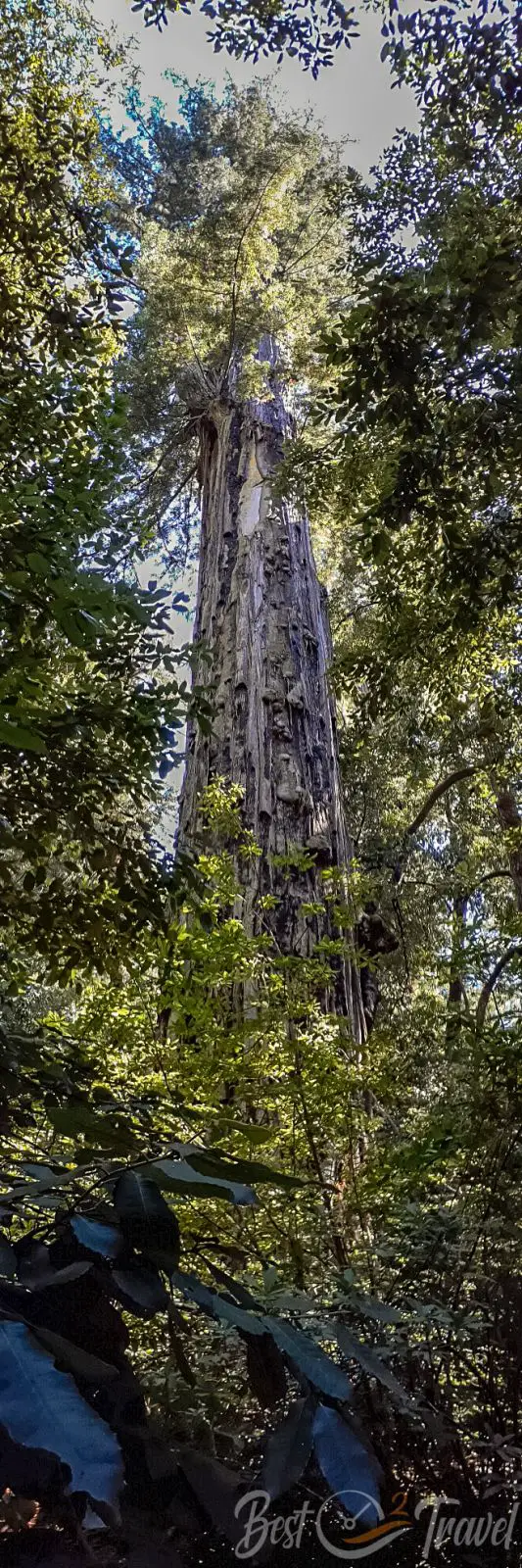
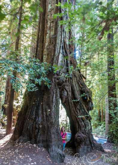
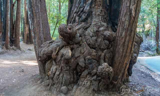
The Mother and Father of the Forest
The Mother of the Forest and the Father of the Forest are two of the most iconic redwoods along the Redwood Loop Trail. Both trees were severely burned during the 2020 CZU Lightning Complex Fire, yet — remarkably — they survived. Their massive trunks are now deeply blackened, a visible reminder of the fire’s intensity, but new growth is slowly returning.
These ancient redwoods have endured centuries of storms, droughts, and previous fires, and their survival once again shows how resilient coast redwoods truly are. Even though their bark is charred, the living tissue beneath remains intact, allowing them to sprout fresh green shoots and continue their long life cycle.
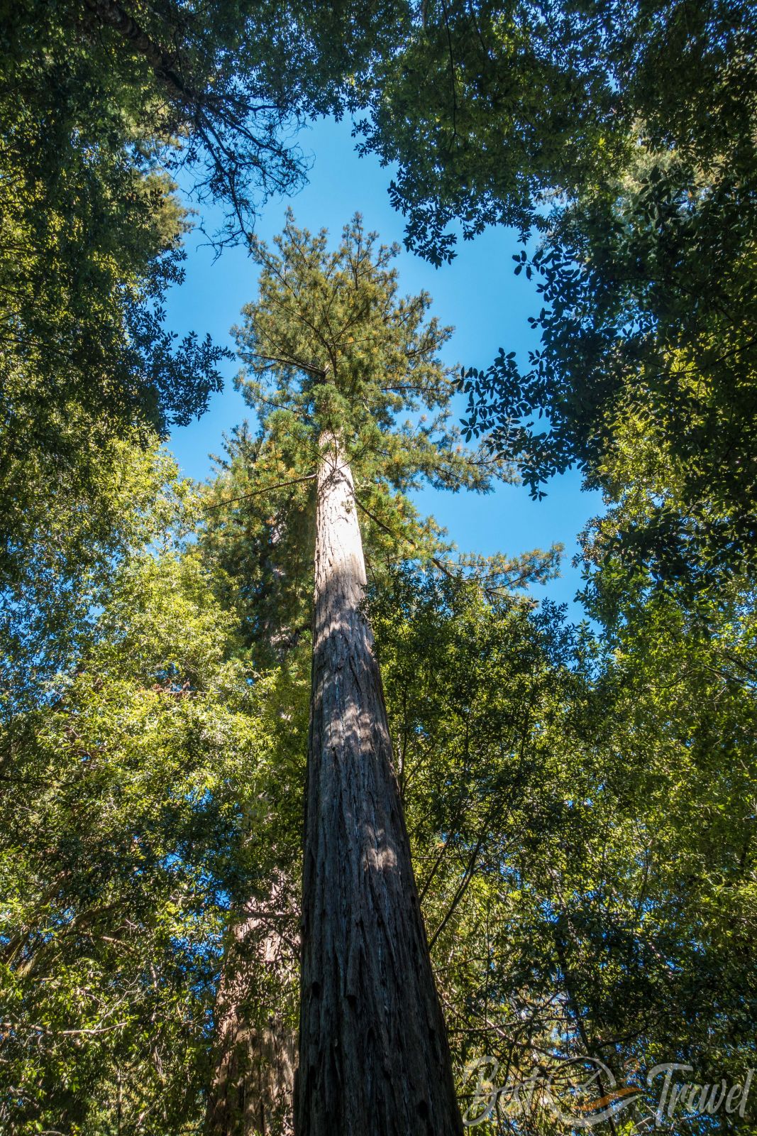
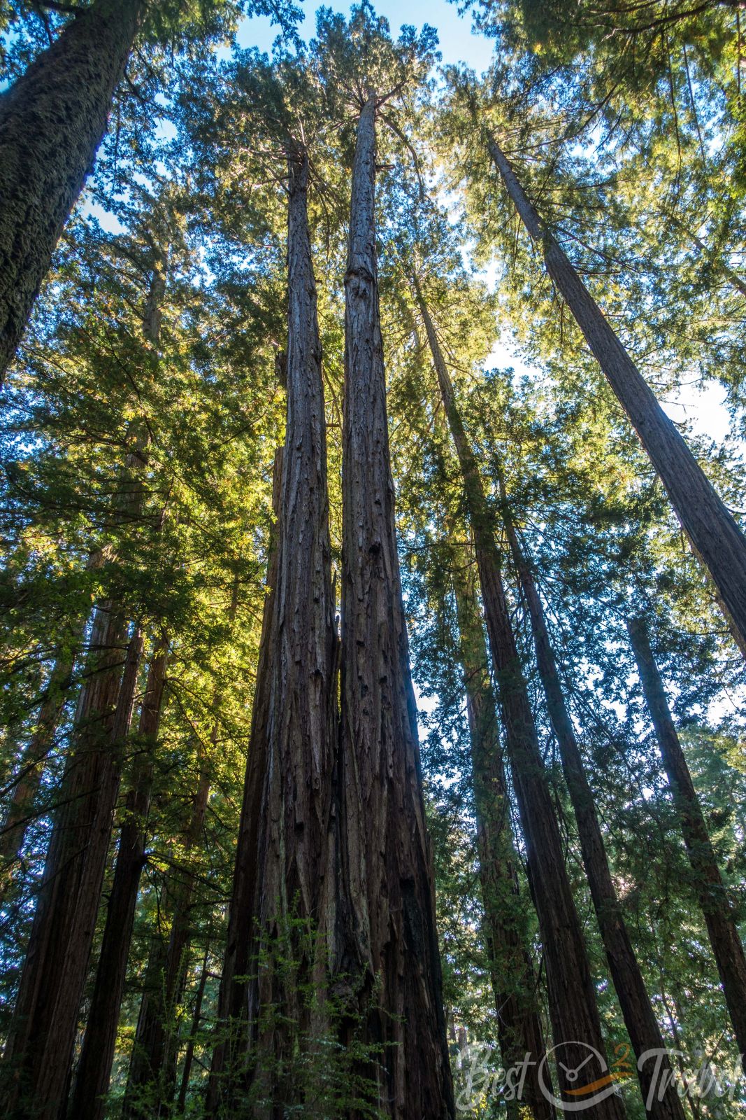
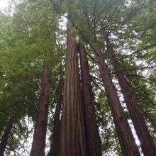
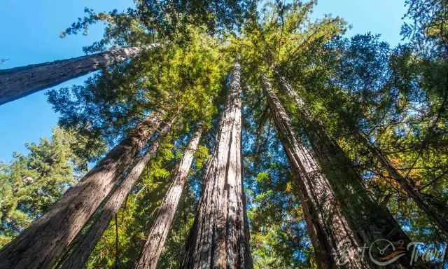
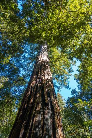
The Coast Redwoods – The Tallest Trees on Earth
The coast redwoods, Sequoia sempervirens, are the tallest trees in the world, reaching heights of more than 370 feet (112 meters). Inside Big Basin, the tallest known tree stands at 328 feet (100 meters) with a circumference of over 50 feet (15 meters). These giants can live for more than 2,000 years, and many trees in the park are between 1,000 and 2,000 years old.
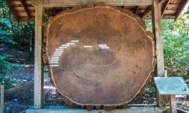
Despite their age, redwoods are remarkably resilient. They can withstand storms, floods, drought, termites, and even severe wildfires thanks to their high tannin content and their thick, protective bark, which can reach 12 inches (30 cm) in thickness. Although their roots grow only 6–10 feet (1.8–3 meters) deep, they spread almost as wide as the tree is tall, creating a stable network that anchors them firmly during storms.
This resilience is the reason why nine out of ten redwoods survived the 2020 CZU Lightning Complex Fire. Many redwoods and oaks are already sprouting back from their bases. Unfortunately, Douglas-firs and most understory plants were completely destroyed, and their recovery will take much longer.
Only 4% of the original old‑growth coast redwood forests remain today, and this number continues to decline due to recurring wildfires and climate change. Coast redwoods are endemic to the United States, growing only along the foggy coastline from Central California to Southern Oregon. Their species name, sempervirens, means “evergreen” or “ever-living”, a fitting description for trees that have survived millennia — yet their regeneration is slow. It takes more than a human lifetime for a young redwood forest to regain the grandeur of an ancient grove.
Camping
All pre‑fire campgrounds were destroyed. Rebuilding is underway, but no traditional camping is available yet. Backcountry access is limited and requires permits.
More Redwood Parks & Ancient Forests
Decreasing Fog — A Changing Climate in Big Basin
The 2020 fire was devastating, but it was not an isolated event. Lightning‑caused wildfires have always been part of California’s natural cycle, yet the conditions that allow them to spread so aggressively are changing. One of the most critical shifts is the steady decline of coastal fog in the Bay Area — the very fog that Big Basin’s vegetation, lichens, mosses, and its thousands‑of‑years‑old redwoods depend on.
Over the past decades, scientists have documented a more than 30% reduction in summer fog. The fog arrives later in the season, burns off earlier in the day, and lingers for fewer hours. This matters deeply: redwoods rely on fog drip as a major source of moisture during the dry months. Mature trees can survive these changes, but fewer seedlings are able to grow into the next generation of giants. Without consistent fog, young redwoods struggle to establish themselves, and the forest’s long‑term resilience is at risk.
Big Basin’s recovery will take decades, and the forest will adapt — but the decreasing fog adds another layer of uncertainty to a landscape already transformed by fire.
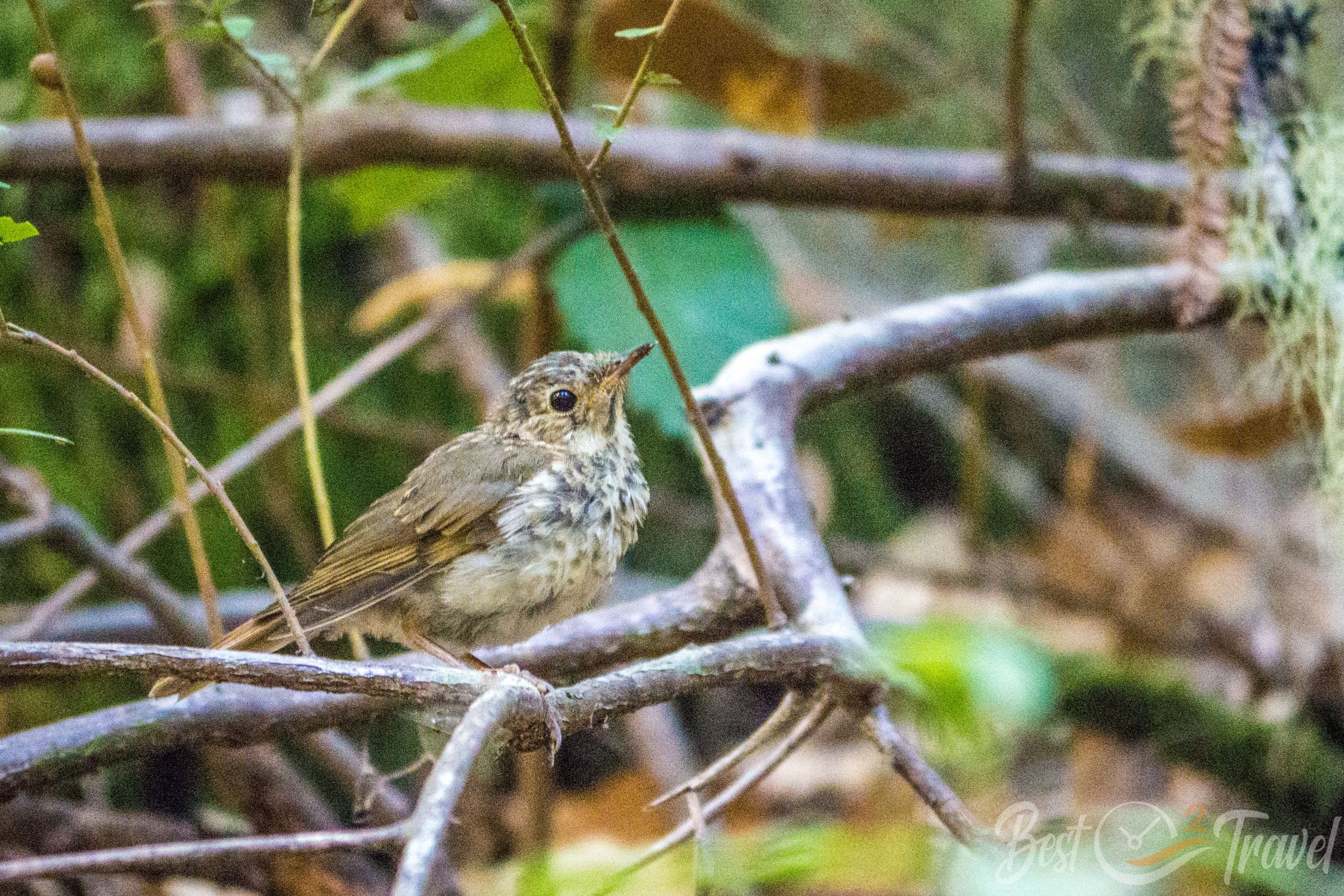
The Marbled Murrelet – A Hidden Seabird of the Redwoods
The Marbled Murrelet is one of the most secretive and endangered birds in California. About the size of a robin, this small seabird spends most of its life far out on the Pacific Ocean, returning to land only to nest. Big Basin was once home to one of the largest inland populations of marbled murrelets in the state.
Unlike most seabirds, marbled murrelets nest high in the canopy of ancient coast redwoods and Douglas-firs. They choose wide, moss-covered branches that offer protection from predators. Each summer, a pair lays just one egg, raising a single chick per year — a slow reproductive cycle that makes the species especially vulnerable.
Every day at dawn and dusk, these birds fly from their nests deep in the forest to the ocean to feed on herring and anchovies. This daily commute can be more than 20 miles each way.
The 2020 CZU Lightning Complex Fire was a major tragedy for the marbled murrelet. Much of their nesting habitat in Big Basin was burned, and the
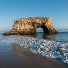
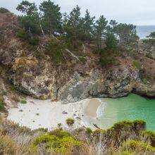
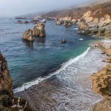
More places to explore along California’s Central Coast:
Best Months to Visit
Location and Tips

Big Basin is California’s oldest State Park, established in 1902. It was created to preserve these extraordinary ancient coast redwoods. They are the tallest trees in the world, growing over 370 feet/ 112 meters. The tallest inside the park is 328 feet/ 100 meters high and 50 feet/ over 15 meters in circumference.