
When Is the Best Time
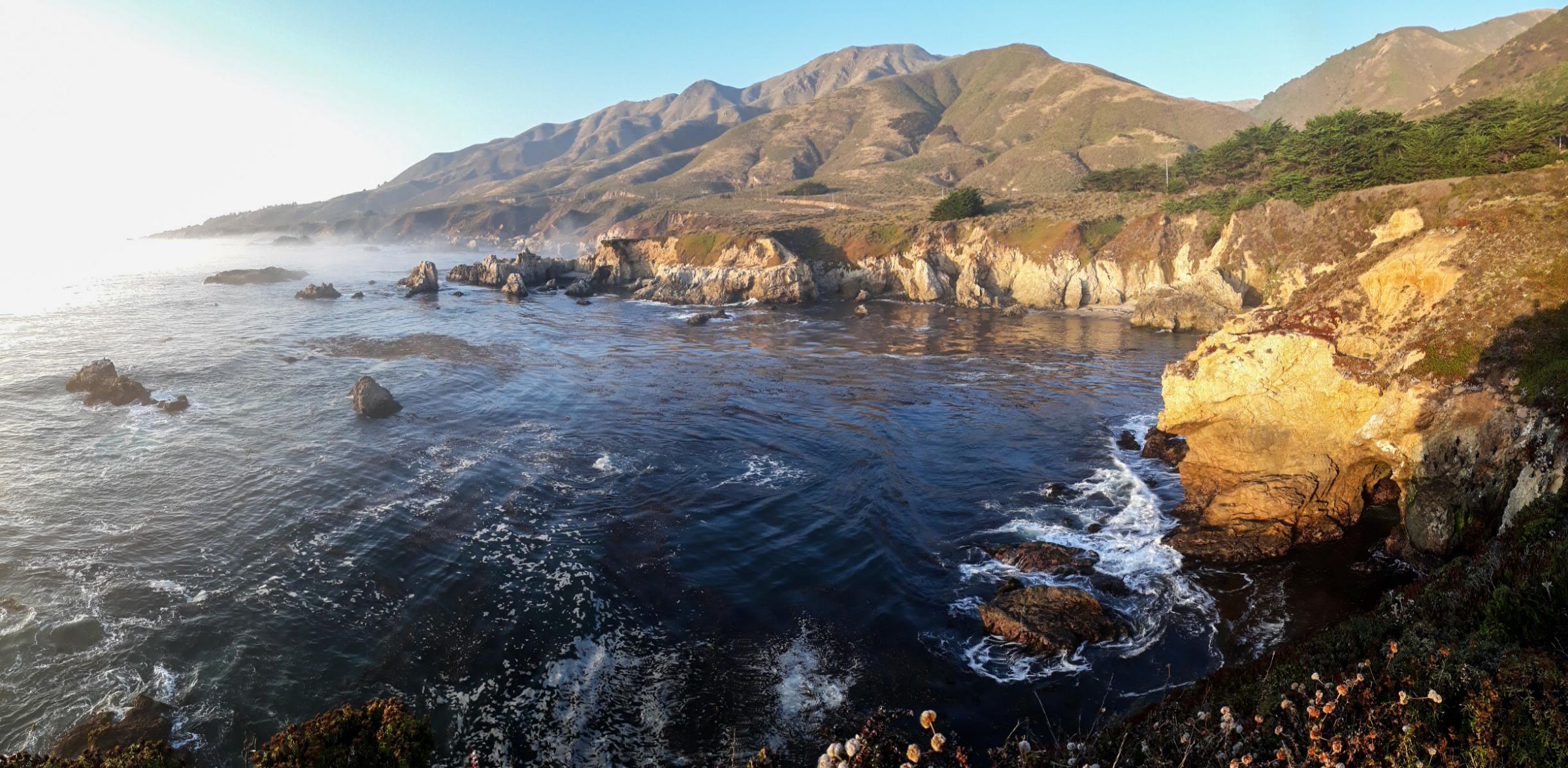
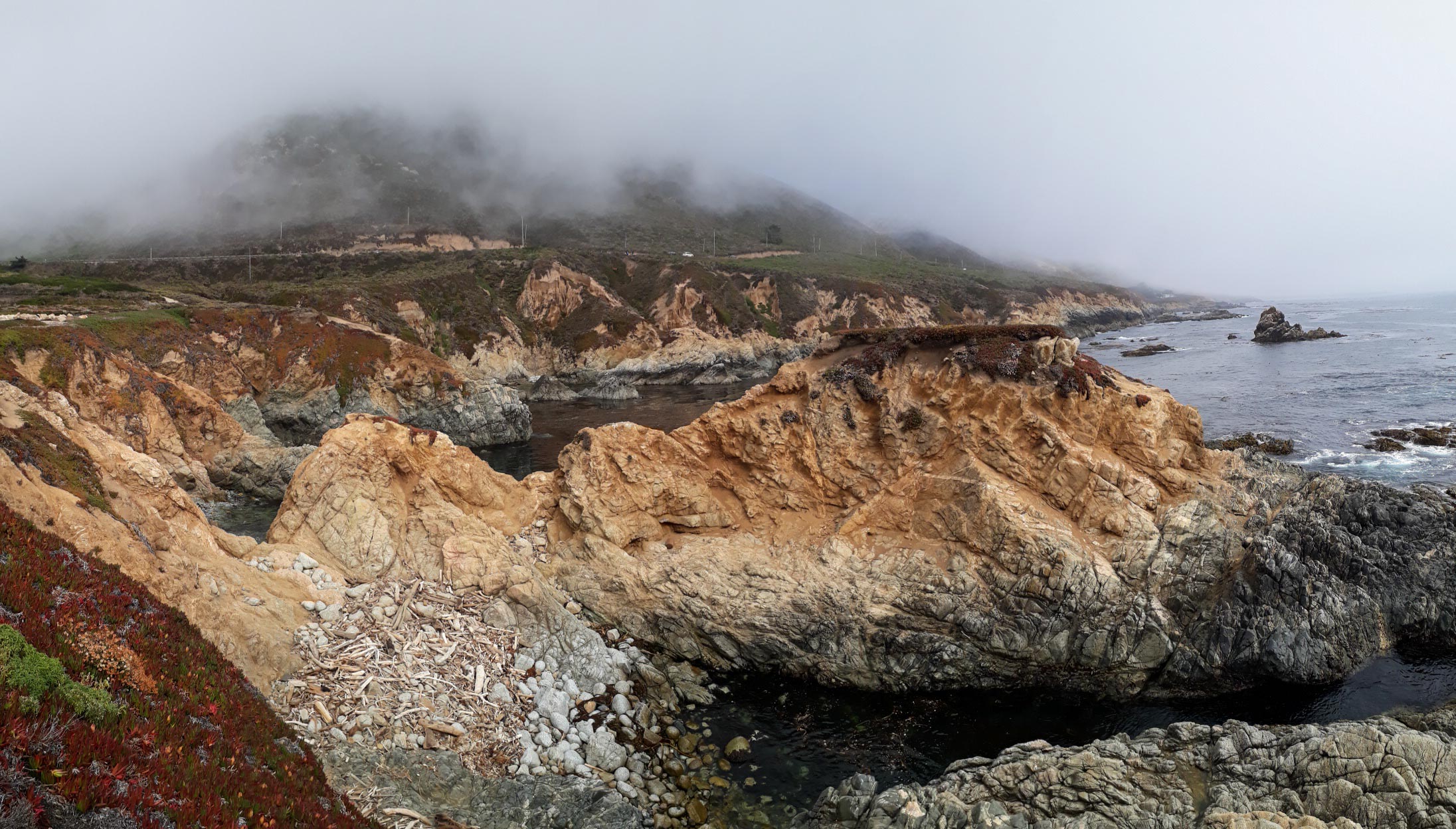
Garrapata State Park is one of Big Sur’s most underrated treasures — a rugged stretch of coastline with dramatic cliffs, wild beaches, and some of the most photogenic views along Highway 1. Many travelers drive past without realizing what they’re missing, because the park has no visitor center and only small numbered turnouts. Yet those who stop are rewarded with sweeping ocean vistas, colorful wildflowers, and quiet trails that feel far removed from the crowds. Overall this park offers 19 wonderful stops to enjoy the tranquility.
Whether you’re looking for a short coastal walk, a peaceful beach, or a scenic stop on your Highway 101 journey, Garrapata is a place you’ll want to linger.
Why Visit Garrapata State Park
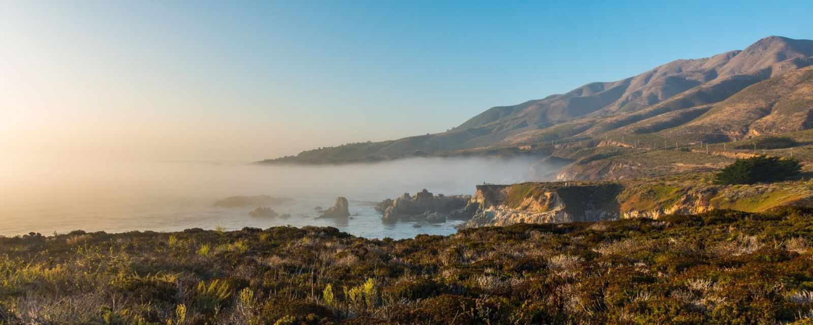
Garrapata offers a perfect blend of Big Sur’s signature landscapes — rugged cliffs, turquoise water, rolling hills, and a long sandy beach. Because the park is less developed than others in the region, it retains a wild, untouched atmosphere. It’s ideal for travelers who want dramatic scenery without the crowds of more famous Big Sur viewpoints.
How to Find Garrapata State Park
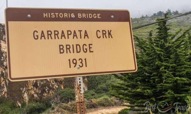
One of the reasons Garrapata feels like a hidden gem is that it’s easy to miss. There are no large signs — only numbered turnouts along Highway 1 between Carmel and Big Sur.
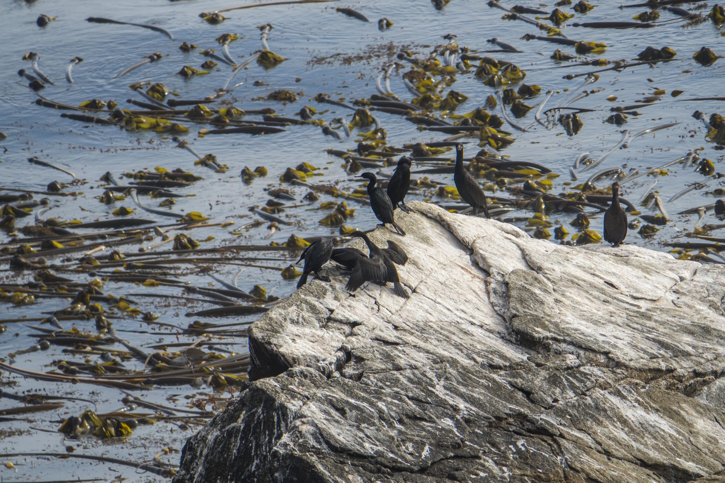
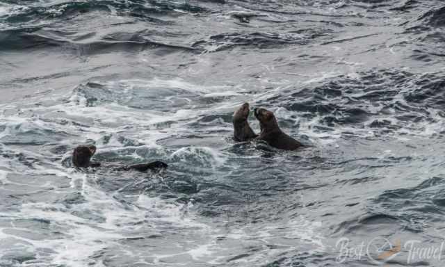
- Turnout 6: Offers a peaceful coastal walk along low cliffs and is one of the best places in Garrapata to watch sea otters resting in the kelp beds.
- Turnouts 17–18: Best for Garrapata Beach
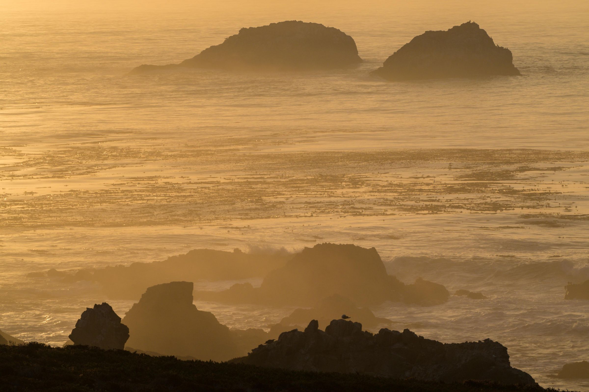
- Turnouts 18–19: Access to Soberanes Point
- Turnouts 19–20: Bluff Trail and coastal views
Parking is free, but spaces are limited. However, parking was never an issue, even during the busy summer months, which made exploring the coastline incredibly relaxed.
My Top Tip
Download the Garrapata State Park map including hiking trails before visiting Garrapata State Park. Download Garrapata brochure and map
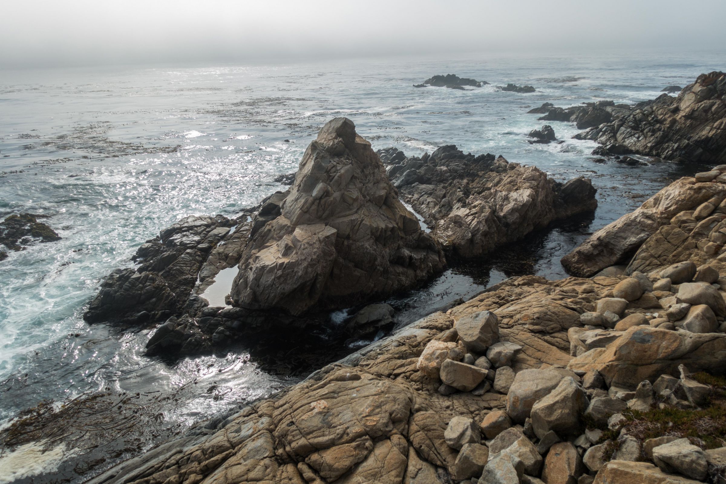
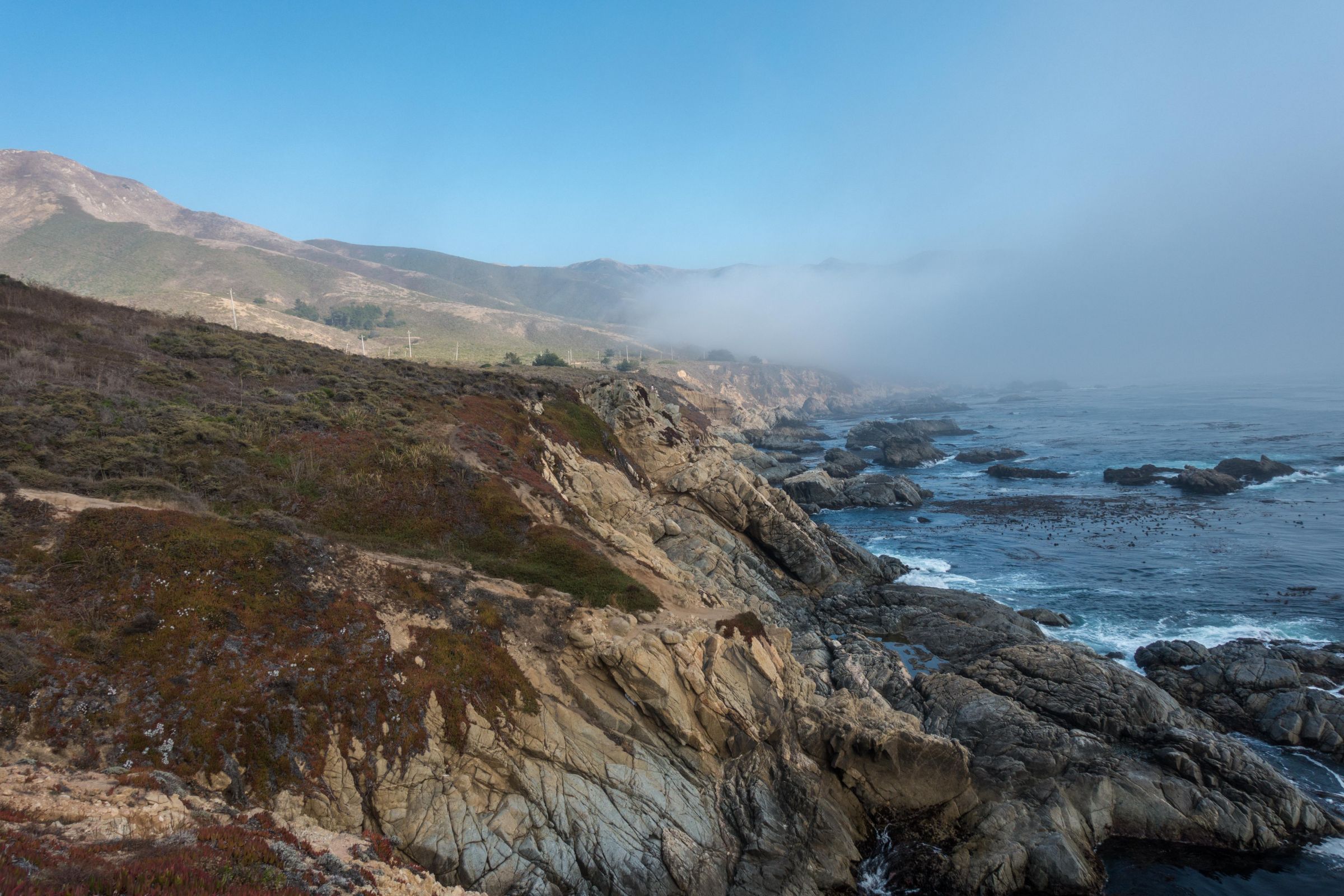
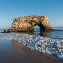
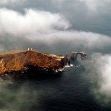
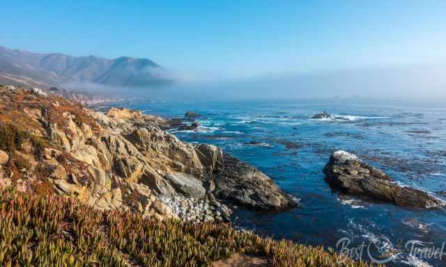
Soberanes Point – The Park’s Scenic Highlight
Soberanes Point is the most iconic viewpoint in Garrapata State Park. From the bluff-top trail, you’ll enjoy panoramic views of crashing waves, sculpted rock formations, and the endless Pacific. The trail is short and easy, making it accessible for most visitors.

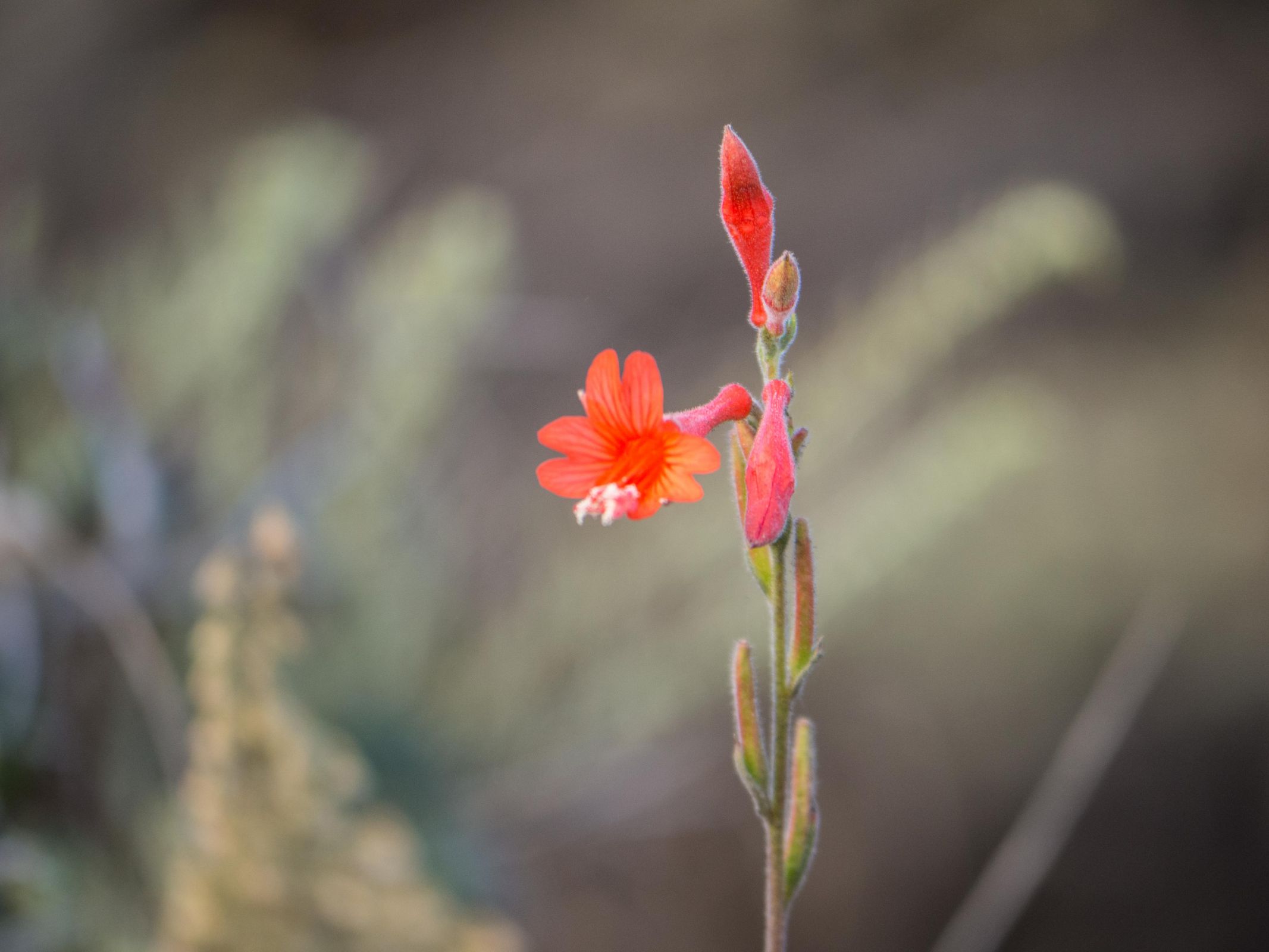
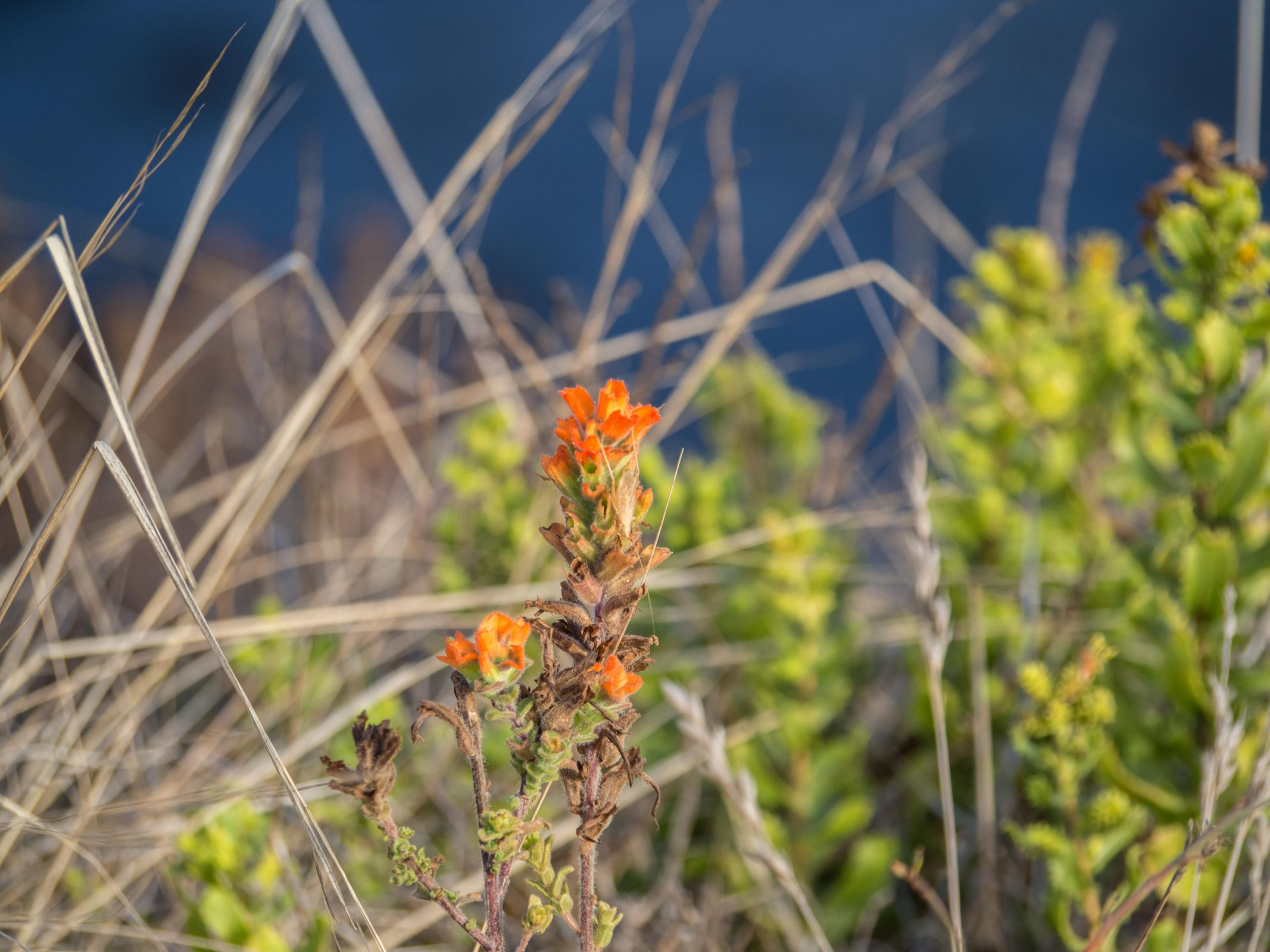
During spring, the hillsides explode with wildflowers — especially California poppies and coastal lupine — turning the cliffs into a colorful tapestry.
Best Hikes in Garrapata State Park
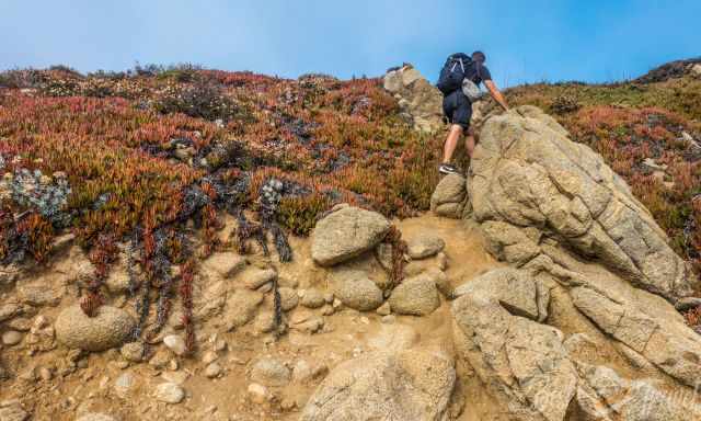
Soberanes Point Loop
Distance: 1–1.5 miles Difficulty: Easy Highlights: Coastal cliffs, wildflowers, dramatic ocean views
This is the classic Garrapata walk — short, scenic, and perfect for photography.
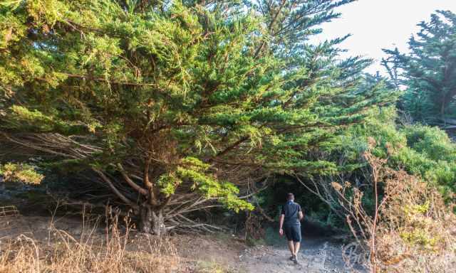
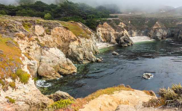
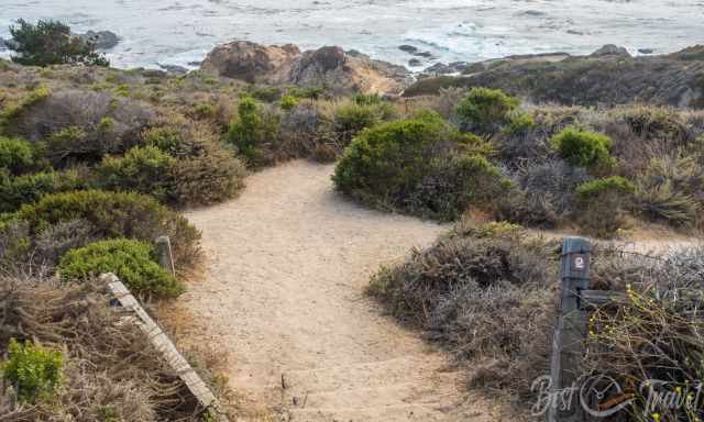
Garrapata Bluff Trail
Distance: 0.6 miles Difficulty: Easy Highlights: Rocky coastline, tide pools, sea birds
A gentle trail with constant ocean views and access to several small coves.
Trail Closures
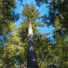
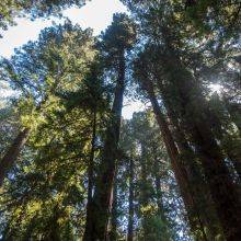
The Soberanes Canyon Trail and the Rocky Ridge Trail — the inland routes that climb into the hills — remain closed due to past fire damage and erosion. These closures have been in place for years and are unlikely to change soon.
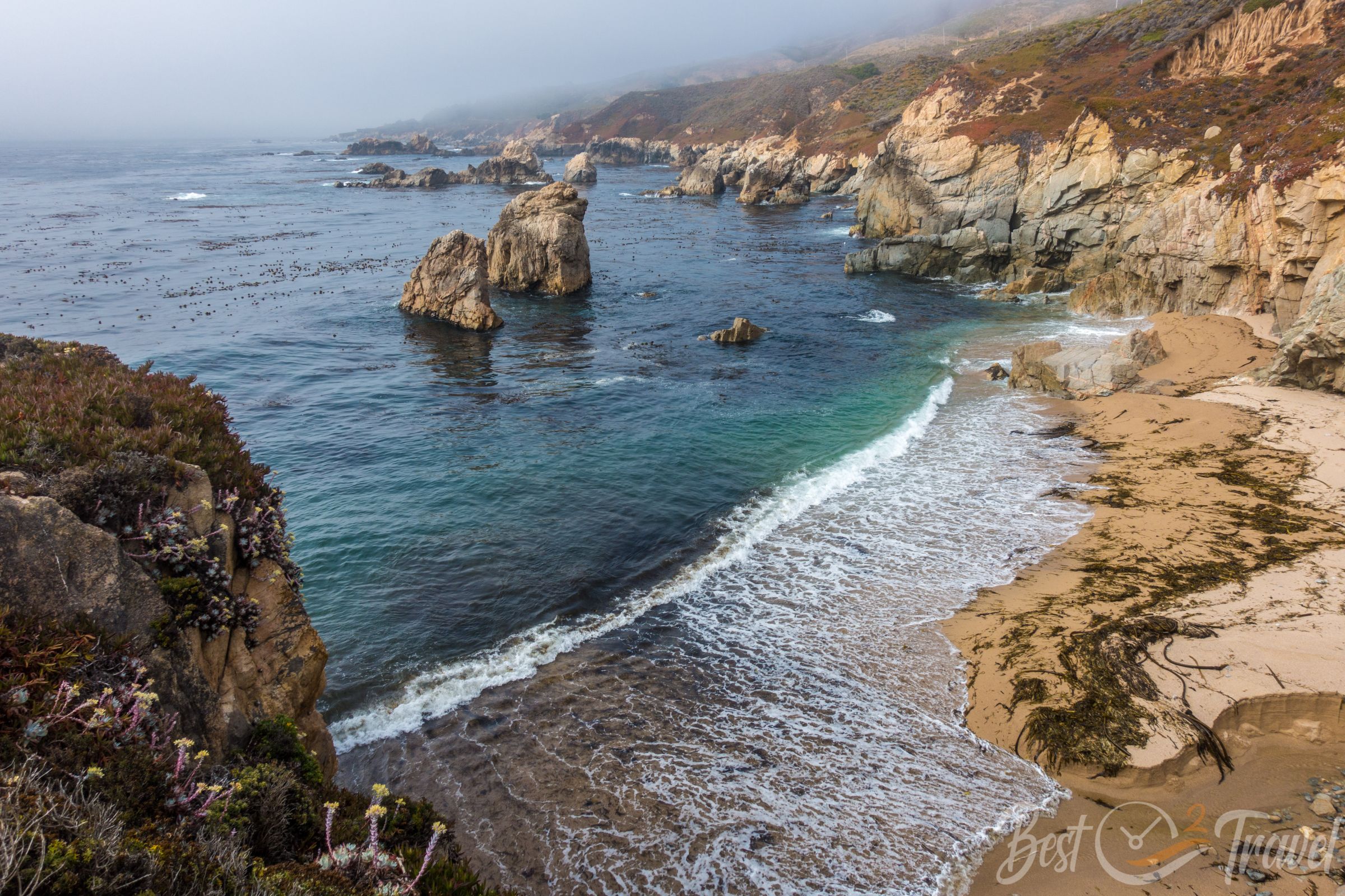
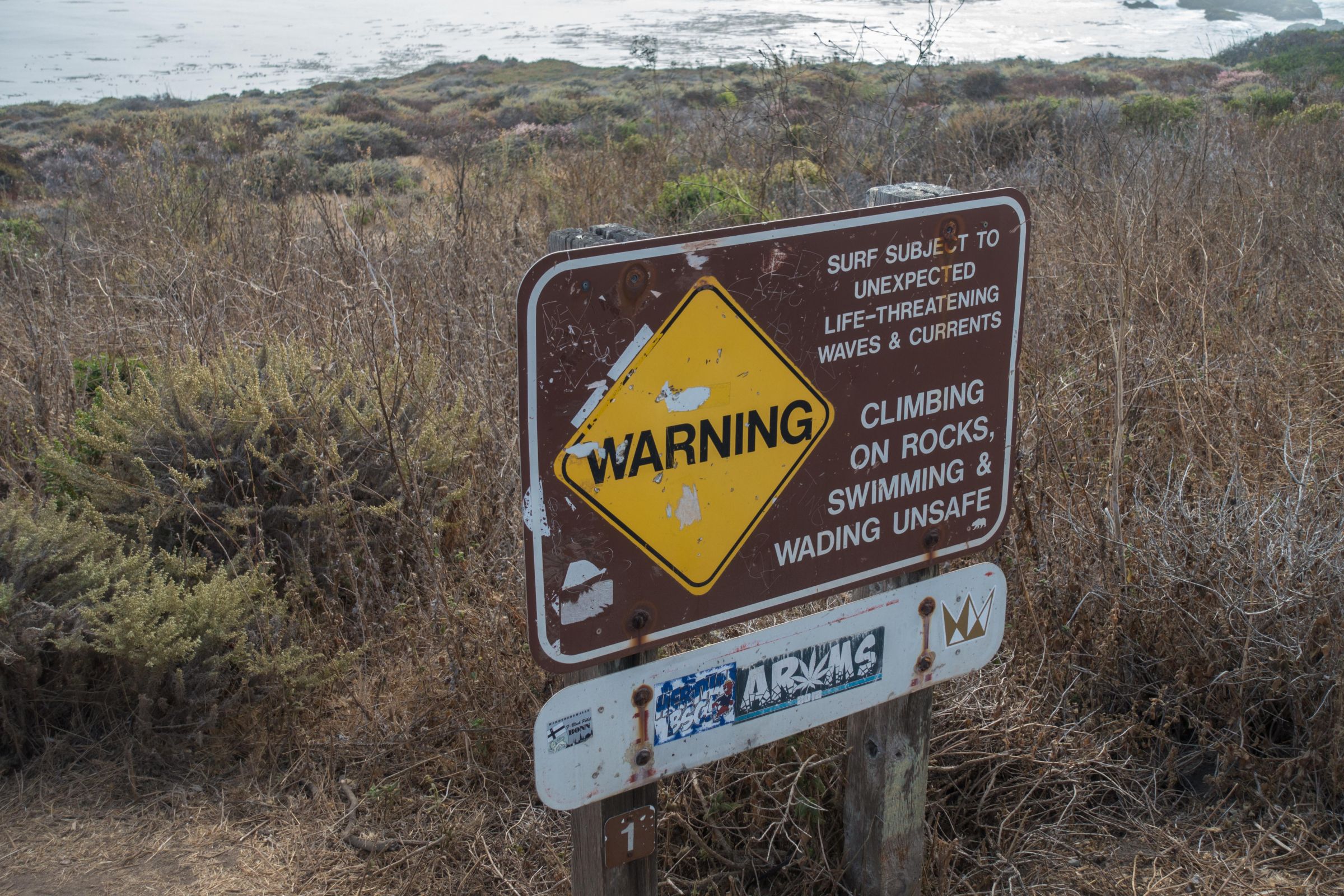
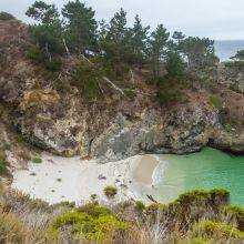
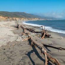
Garrapata Beach – Tide & Safety
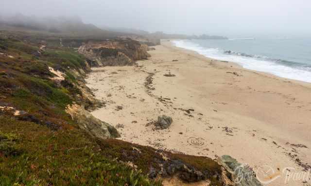
Garrapata Beach is one of the most beautiful sandy beaches in Big Sur — long, wide, and backed by dramatic cliffs. If you plan to visit Garrapata Beach, the best time to go is during low tide, when the sand is wide and easy to explore. At high tide, parts of the beach can become inaccessible, especially when the surf is strong and waves push right up to the cliffs. This stretch of coastline is perfect for a peaceful stroll, but it is not suitable for swimming, as powerful rip currents occur here and conditions can change quickly. Staying back from the waterline ensures a safe and relaxed visit. Tide times for Garrapata Beach
Best Time to Visit
Spring (March–May)
An amazing time when colourful wildflower carpets cover most of the coastal area. However, the fog transports humidity to the coastal area, and even in the summer, many wildflowers are still in bloom.
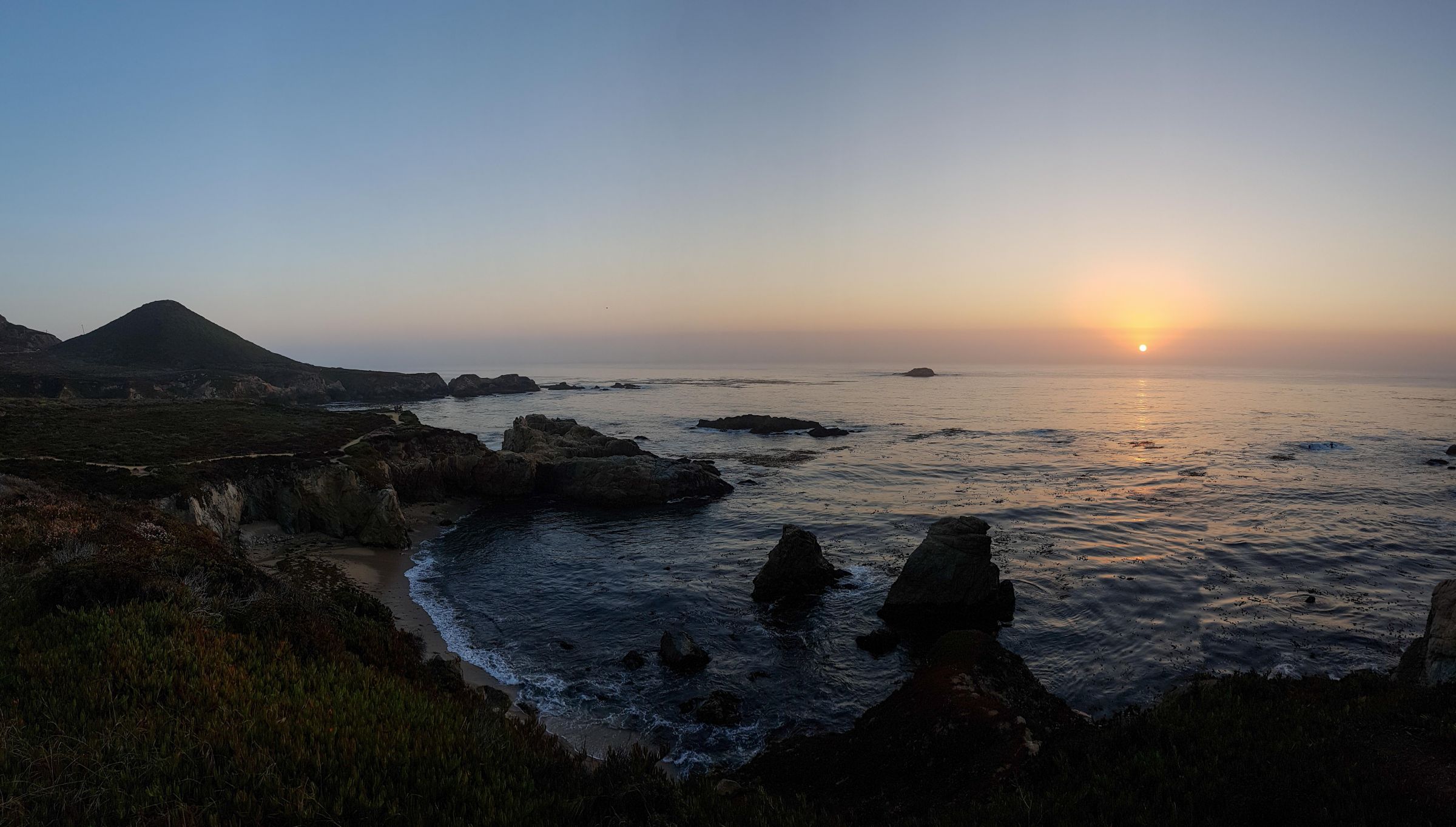
Late Afternoon and Sunset
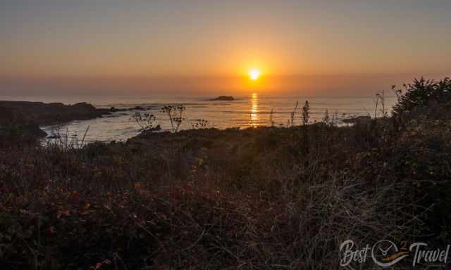
The light is warm and perfect for photography and sunsets are beautiful. Sunset Times
Summer & Fall
Clearer skies, but expect coastal fog in the mornings.
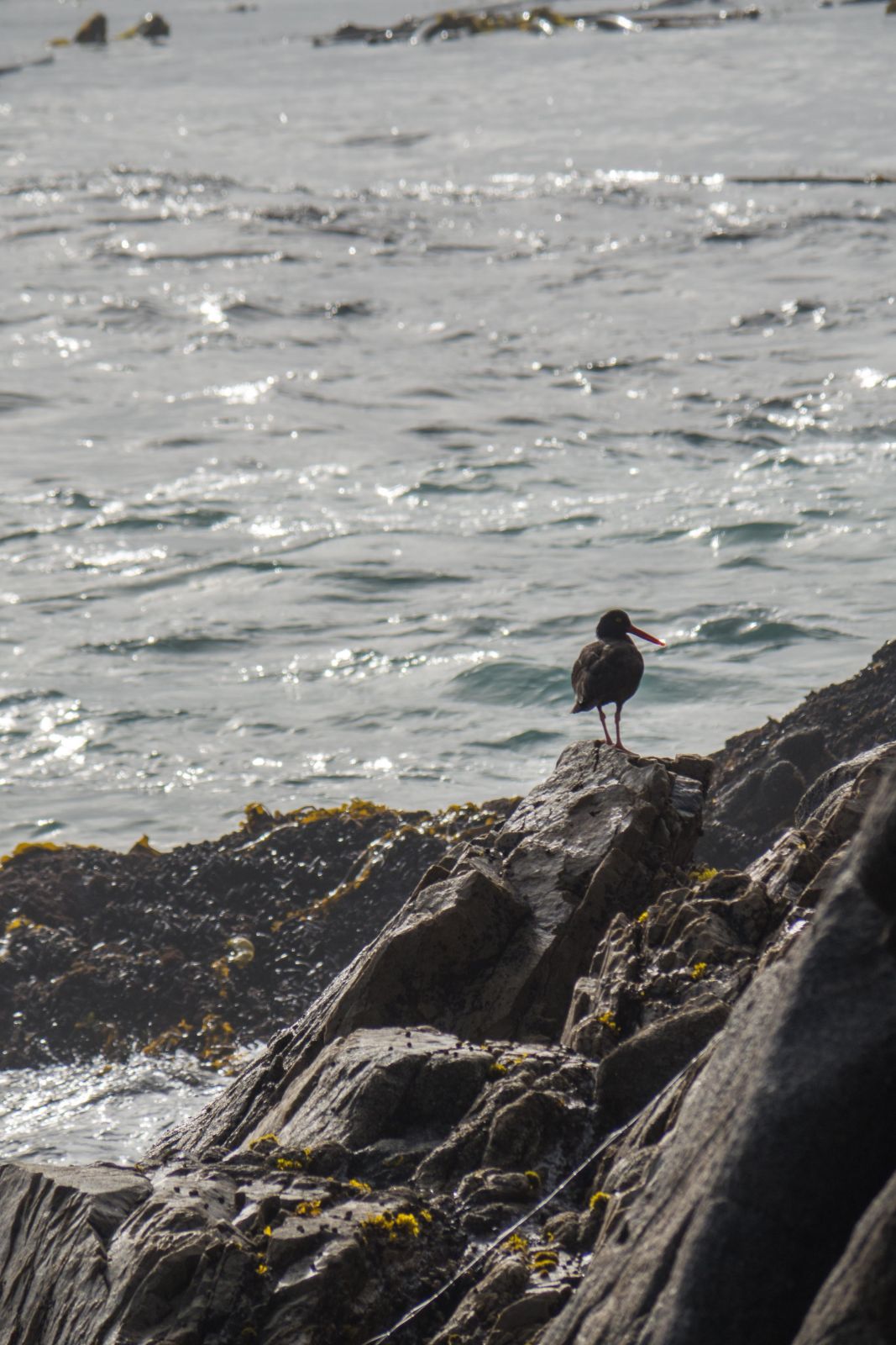
Wildlife Watching
Garrapata is an excellent place to spot:
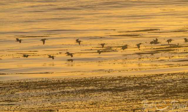
- Gray whales during migration (December–April)
- Sea otters floating in kelp beds
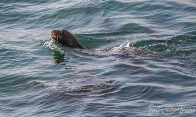
- Harbor seals resting on offshore rocks
- Pelicans and cormorants gliding along the cliffs
Bring binoculars for the best experience.
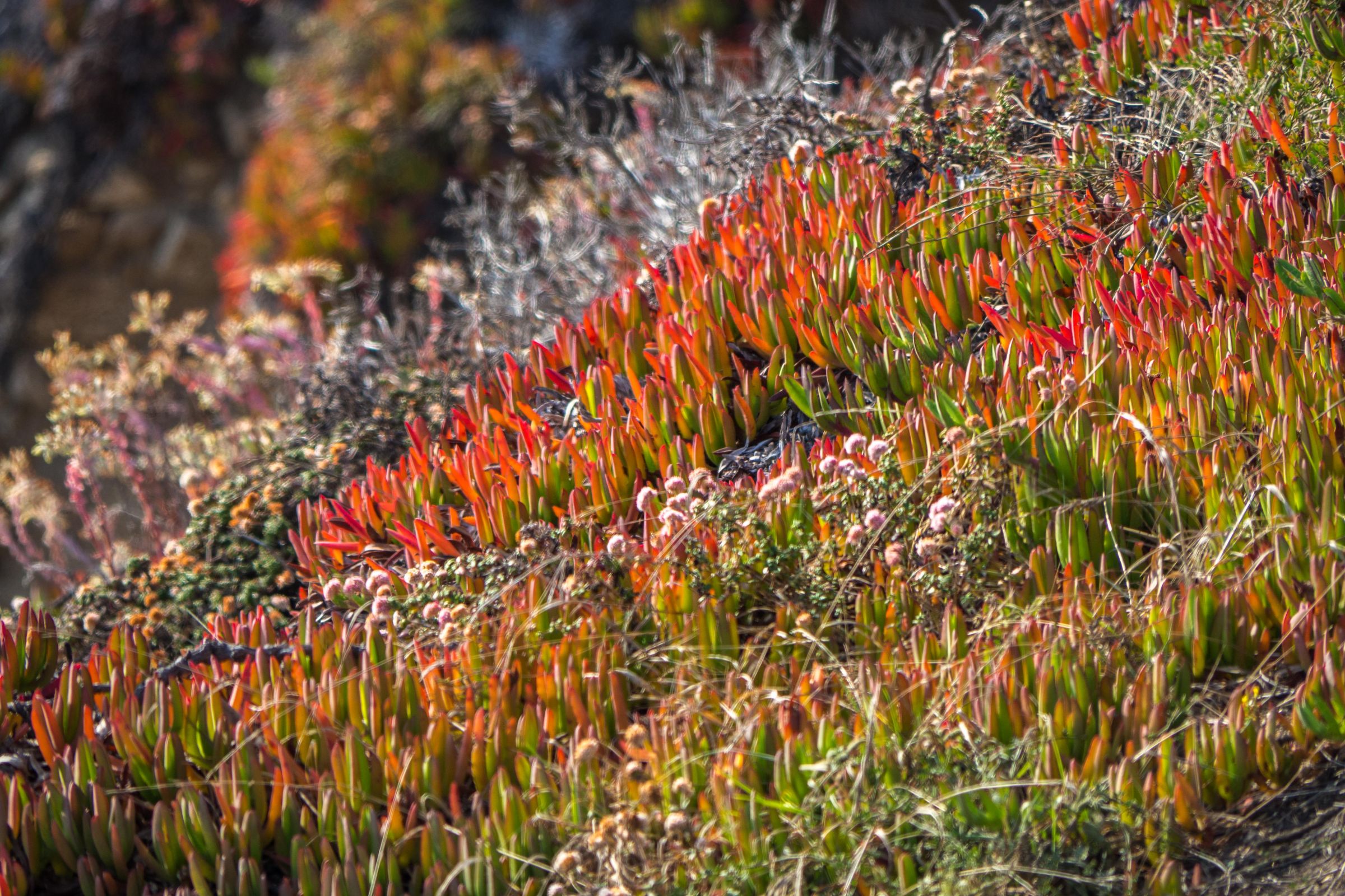
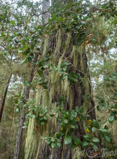
Flora & Landscape
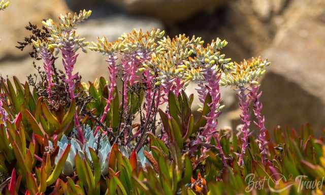
The park is known for its vibrant coastal vegetation:
- California poppies
- Lupine
- Ice plant (colorful but invasive)
- Coastal sage scrub
- Succulents clinging to the cliffs
In spring, the hillsides glow with color.
⚠️ Safety Tips
- Stay on marked trails — cliffs are unstable
- Watch for poison oak along inland paths
- Never climb down to unsafe coves
- Beware of rogue waves on the beach
- Check trail closures after storms or fires
Traveling Highway 101?
Here are more of my favorite stops along the route:
👉 Explore all my Highway 101 guides here
Where to Stay
Most travelers discover Garrapata State Park by chance while driving along Highway 1, yet the area is beautiful enough to spend an entire day exploring. It’s one of the most scenic stretches of coastline in Big Sur, and what we appreciated most was the solitude — even in August, when other parks are overflowing, the trails and viewpoints around Garrapata remained surprisingly quiet. Parking was never an issue, even during the busy summer months, which made exploring the coastline incredibly relaxed.

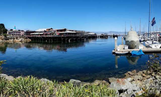
If your schedule allows, consider staying at least one night nearby. Monterey is an excellent base, offering a wide range of hotels and great dining options while still being only a short drive from Garrapata. Carmel Highlands and Big Sur also make wonderful alternatives if you prefer something quieter and more secluded. Monterey Hotels.
"Thanks for booking via my website. With your support I am able to run these guides for free."
Best Months to Visit
Location and Tips

The breathtaking Garrapata State Park is located along the famous HW 1. Not many cars stop for a look, walk or hike, although there are many trails available. There are 19 stops in total. If coming from Monterey, the first stop is immediately after the State Park sign on the right.