
When Is the Best Time
Point Reyes National Seashore is one of the most beautiful and popular coastal parks in Northern California, and the hike to Alamere Falls is one of its most iconic experiences. Located about 35 miles north of San Francisco, this rare tidefall draws visitors from around the world. Even if you don’t plan to hike the full distance to the waterfall, Point Reyes offers countless other highlights that are easily accessible by car or short walks.
Several trails lead to Alamere Falls, and we chose the shortest and most popular route, which you’ll find described in detail below along with maps and essential tips. Whether you’re here for the waterfall, the dramatic coastline, or the peaceful forest trails, this area is a rewarding destination in every season.
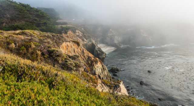
Point Reyes is known for its cool, foggy summers from July to September, when the coast is often wrapped in mist while the inland stays warm and sunny.
The fog usually lifts in the afternoon, revealing sweeping ocean views — but even on foggy days, the peninsula has a magical atmosphere that makes it worth visiting year‑round.
Crowds and Parking for the Alamere Falls Hike
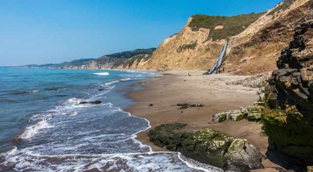
Alamere Falls is one of the most popular destinations in Point Reyes, especially because it’s only about an hour’s drive north of San Francisco. The Palomarin Trailhead parking lot fills up very early on weekends, often shortly after sunrise. If you can, plan your hike mid‑week, when parking is easier and the trail is noticeably quieter. On busy days, rangers may temporarily close the parking lot, and if no spaces are available, you must leave and return later — shoulder parking is strictly prohibited. There is no parking fee at Palomarin.
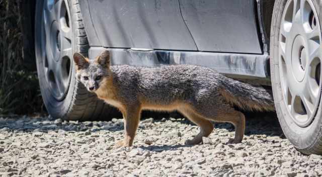
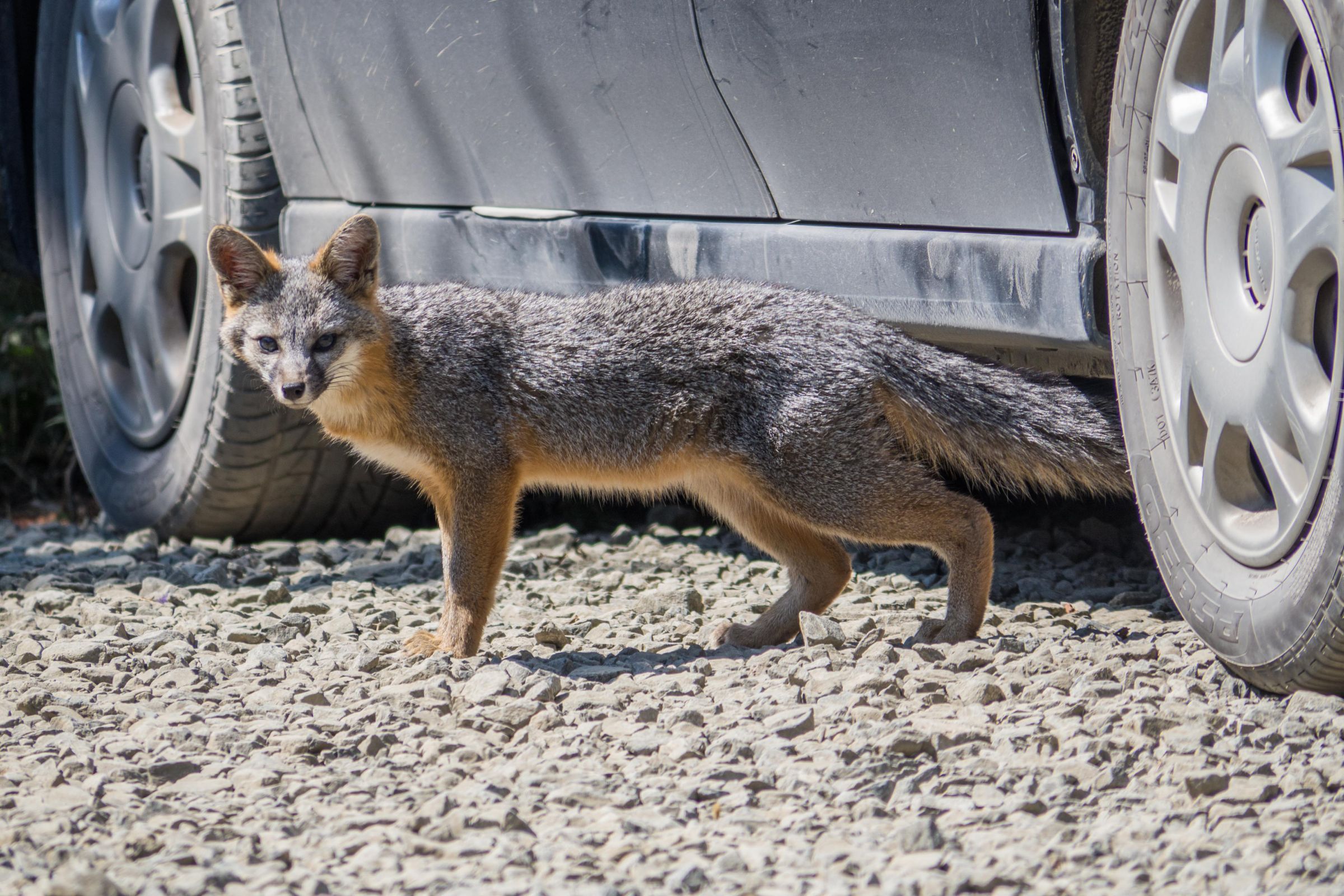
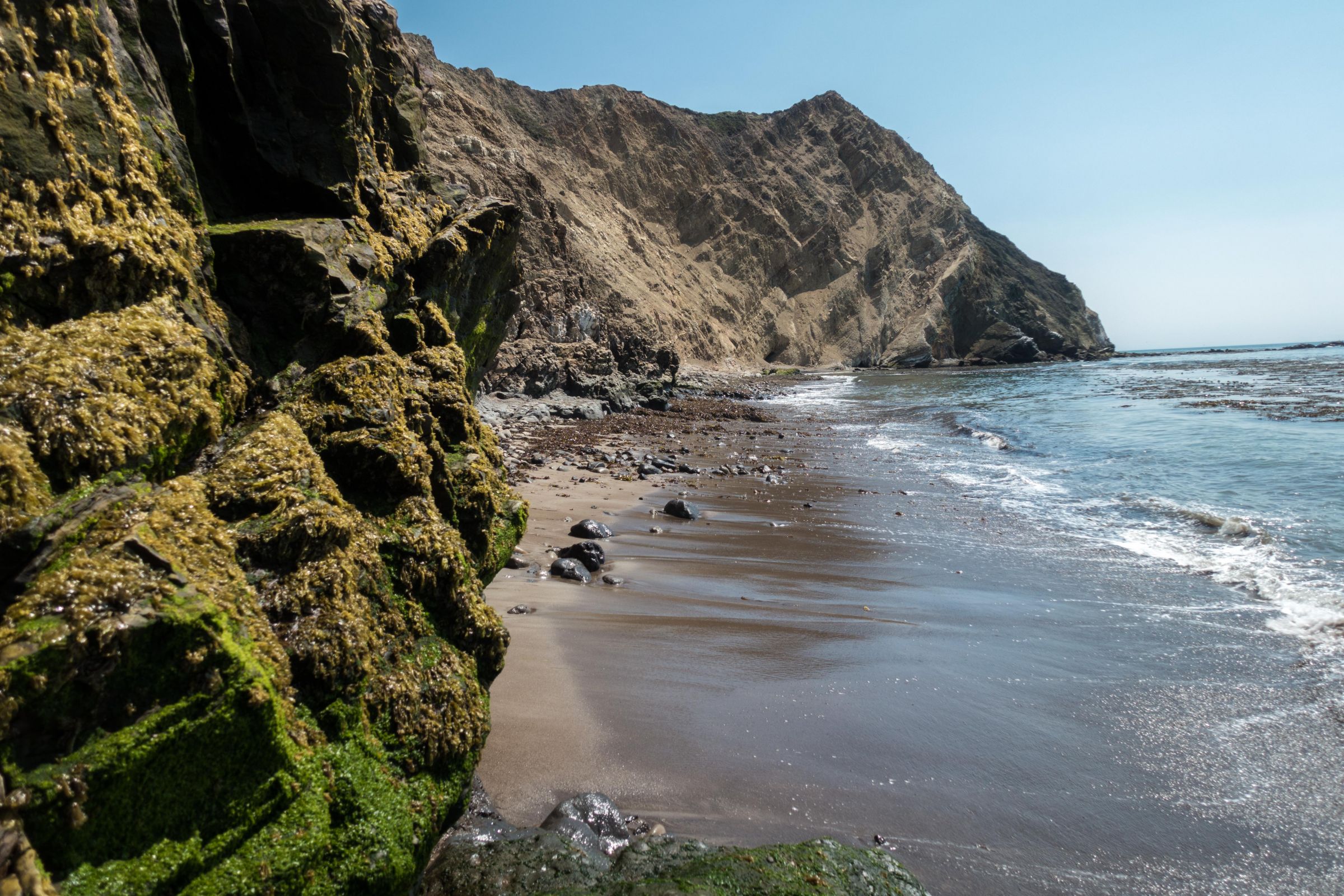
Thanks to our early arrival, we even spotted a fox near the parking area, a reminder that this region is full of wildlife. Once you’re on the trail, the crowds spread out quickly. The lakes along the route and Wildcat Beach rarely feel too busy, with some visitors swimming in the freshwater lakes while others explore the long stretch of coastline. Keep in mind that you can only walk safely on Wildcat Beach during low tide, so always check the tide chart before heading out.
Best Time to Go to Alamere Falls
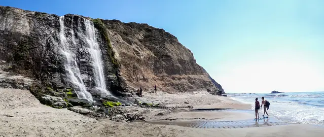
The best time to start the hike is usually about three hours before low tide, giving you enough time to reach Wildcat Beach safely and enjoy the waterfall when the tide is out. On weekends — and especially throughout summer — the Palomarin Trailhead fills up extremely early, so arriving by 8 a.m. at the latest is essential. Tide times are posted at the Bear Valley Visitor Center, and you can also check them online before your trip. Even if the timing doesn’t line up perfectly, the entire trail is beautiful: you can swim in the lakes, relax at the upper falls, and wait for the tide to drop. Tide Times for the hike to the Alamere Falls
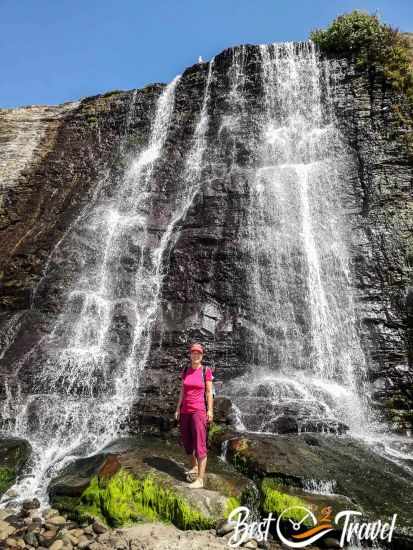
Overall, the best seasons for hiking to Alamere Falls, considering both weather and crowds, are spring (April and May), late summer (September), and early fall (October). These months offer the most pleasant temperatures and clearer skies. Winter can also be a wonderful time to visit on a sunny day, as the Bay Area rarely experiences freezing conditions and the trails are much quieter.
Tip for Photographers
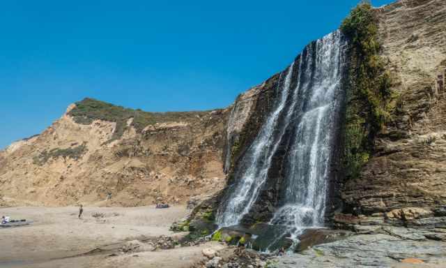
The best light for photographing Alamere Falls arrives in the early afternoon, once the sun has moved behind you and illuminates the waterfall from the right angle. In the morning, the falls are in harsh front light, which flattens the scene and makes it difficult to capture the details of the water and the cliff. While the falls are beautiful at any time of day, the afternoon offers the most flattering conditions for vibrant, well‑lit shots.
Swimming at Alamere Falls
Although the beach below Alamere Falls looks inviting, swimming here is not safe. The beach is unpatrolled, and strong currents and unpredictable waves can occur at any time. Many visitors admire the falls from the sand but avoid entering the ocean for good reason.
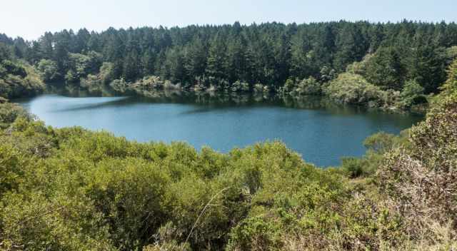
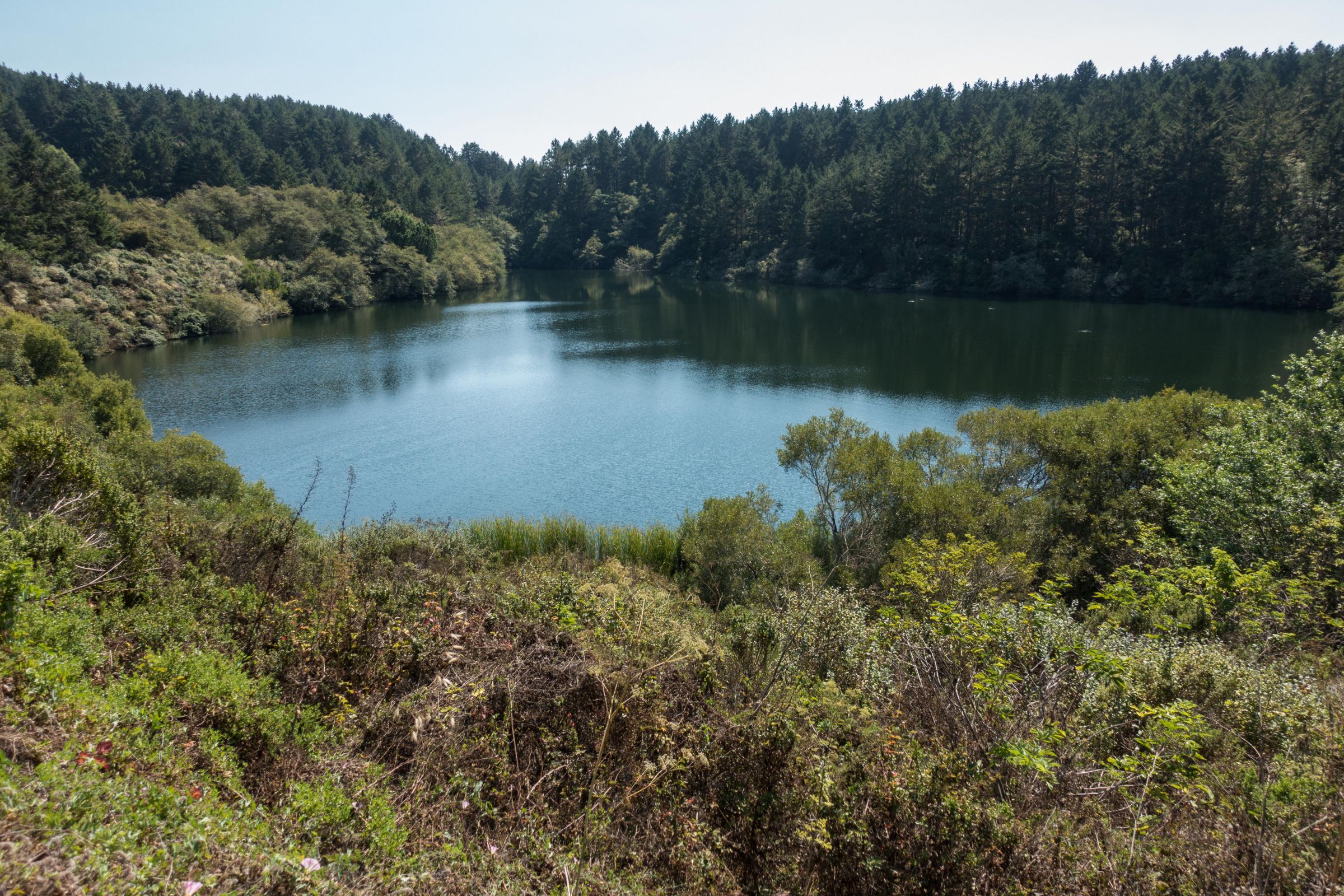
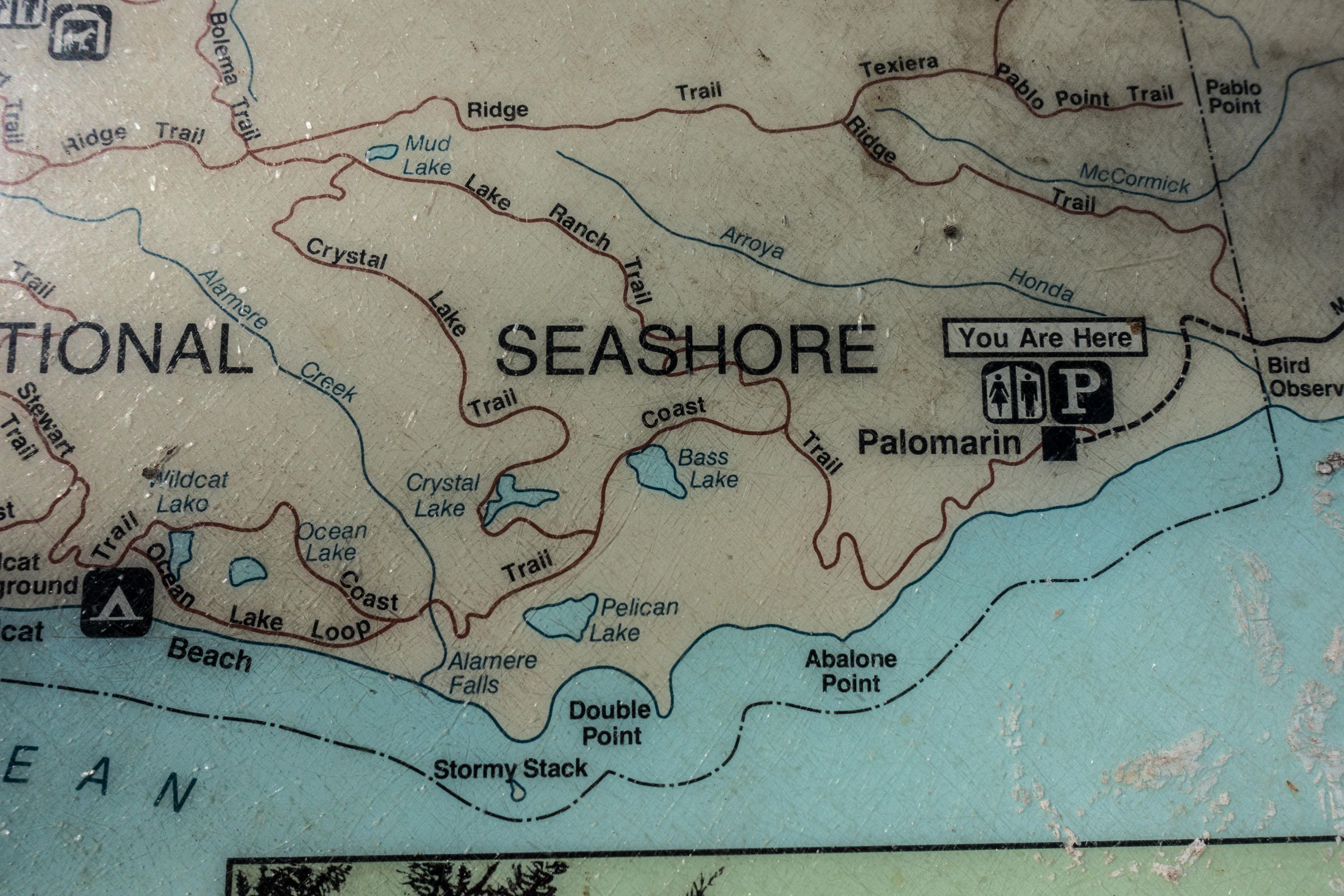
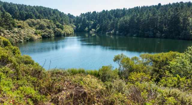
Fortunately, the trail to Alamere Falls passes several beautiful freshwater lakes that offer much safer places to cool off. Bass Lake is the first one on the left, followed by Crystal Lake on the right, and finally Pelican Lake, also on the left, which is where we went swimming on our way back. These lakes are rarely crowded and provide a peaceful break during the hike. Swimming in them is at your own risk, but they are far calmer than the ocean and make for a refreshing stop on a warm day.
3 Trails to Alamere Falls
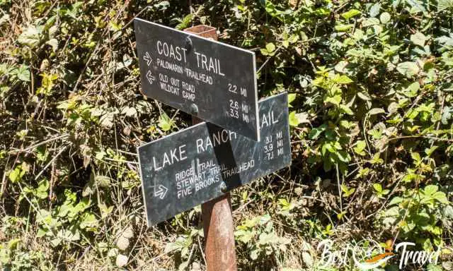
There are several ways to reach Alamere Falls, and these three routes are the ones most hikers choose. If you take the trail via Wildcat Campground, be aware that the final stretch runs directly along the ocean for about a mile. At high tide, this section can become impassable, and hikers may find themselves trapped between the cliffs and the surf, so checking the tide chart is absolutely essential - Tide Times.
- The longest option begins at the Bear Valley Visitor Center and covers roughly 15 miles (24 km). It’s a beautiful but demanding day hike, and low tide is required to safely walk along Wildcat Beach to reach the falls and return.
- A slightly shorter alternative starts from the Palomarin Trailhead and follows the official route to Wildcat Campground, continuing down to the beach before approaching the falls from the south. This version is about 13 miles (21 km) in total and is the route recommended by the National Park Service. As with the Bear Valley route, the beach section is only accessible at low tide, especially in winter and spring when high tides are stronger and more frequent.
- A slightly shorter alternative starts from the Palomarin Trailhead and follows the official route to Wildcat Campground, continuing down to the beach before approaching the falls from the south. This version is about 13 miles (21 km) in total and is the route recommended by the National Park Service. As with the Bear Valley route, the beach section is only accessible at low tide, especially in winter and spring when high tides are stronger and more frequent.
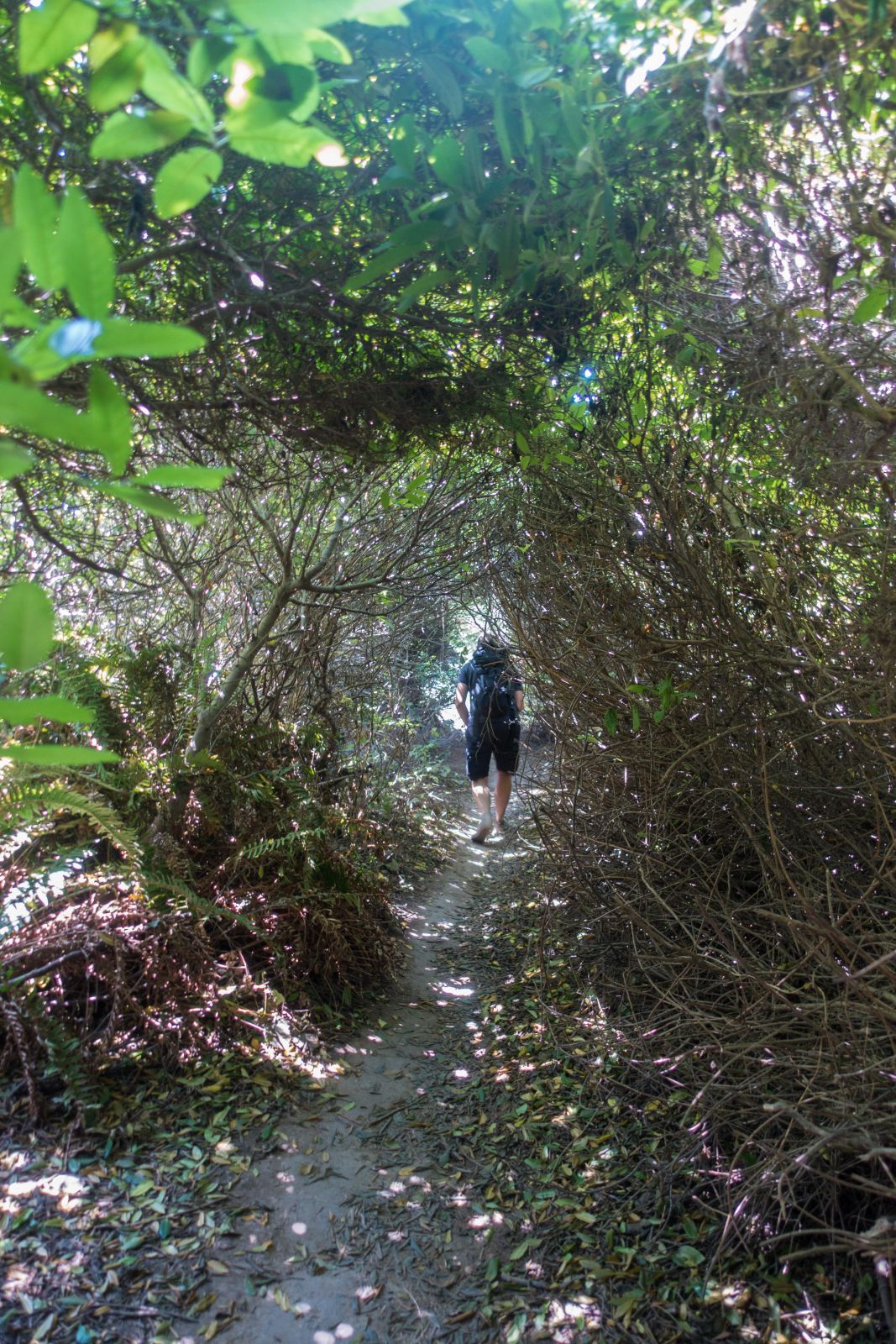
A recent update worth noting: poison oak grows along parts of the shortcut, and when the vegetation is overgrown, it’s best not to force your way through. Contact with poison oak can cause a severe, itchy rash that lasts for days. If you prefer to avoid this risk, stick to the official trails.
For navigation, the NPS Trail Map —which does not include the shortcut—is extremely helpful. If you’re not stopping at the visitor center, printing the map in advance is a good idea.
Trail Description
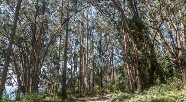
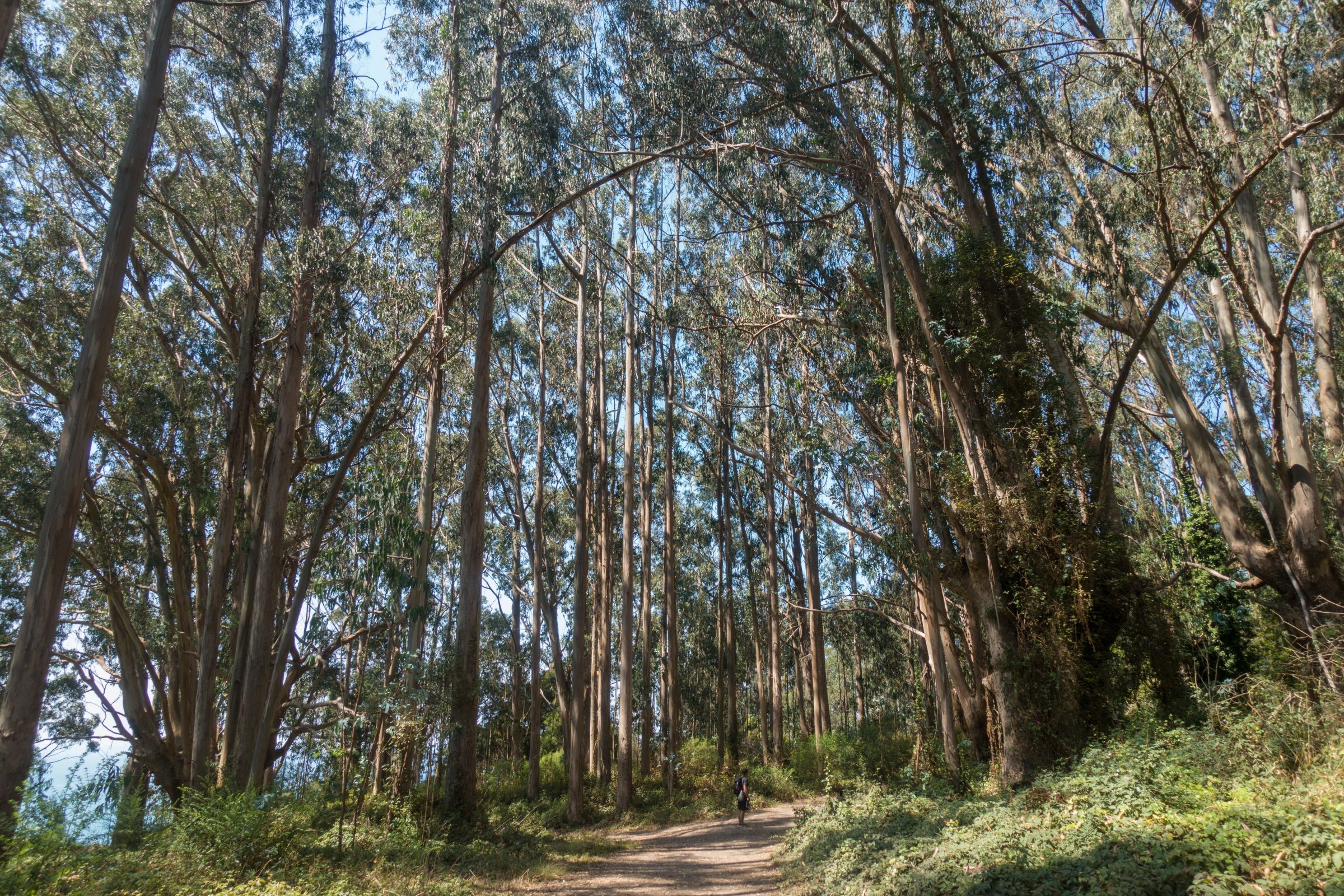
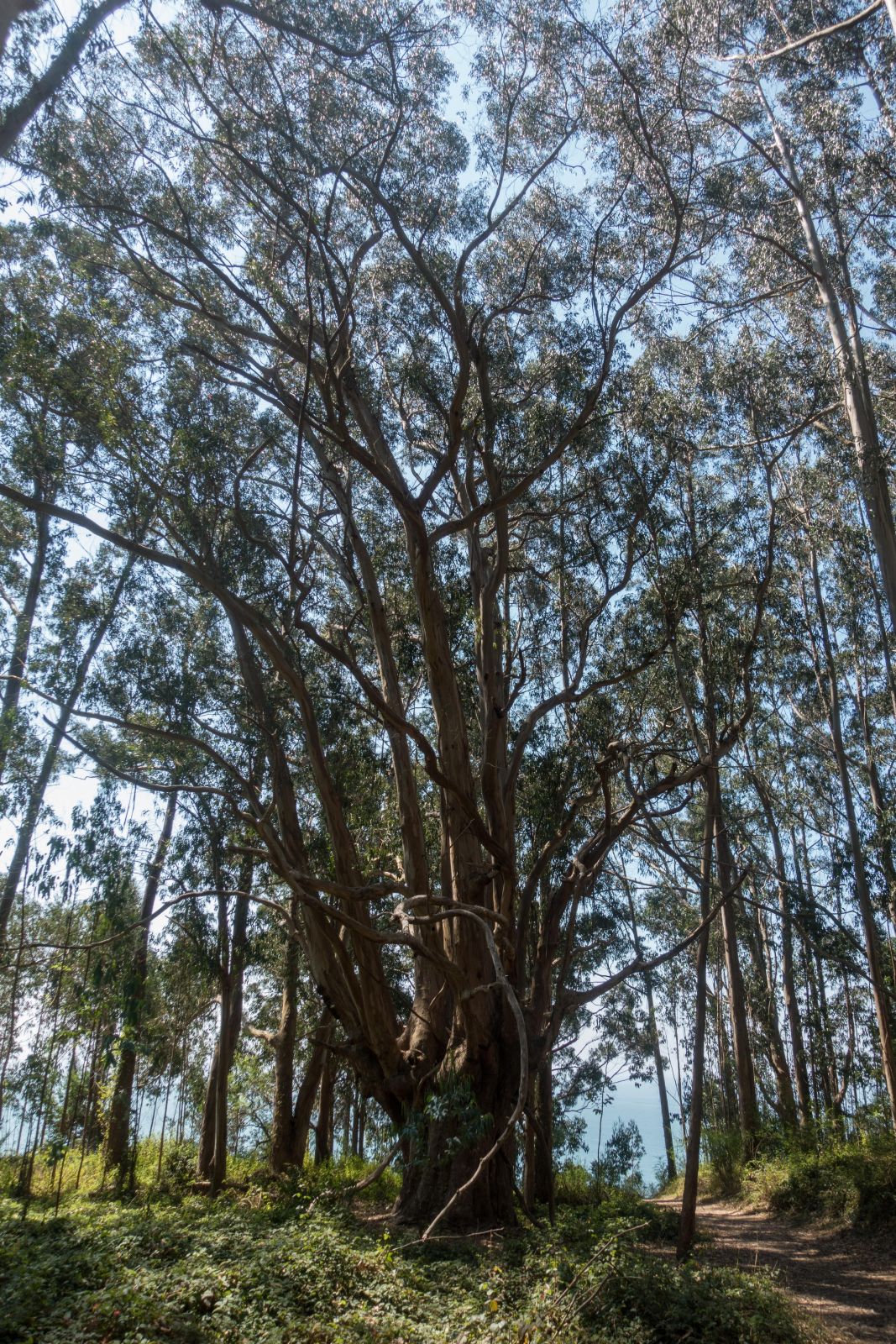
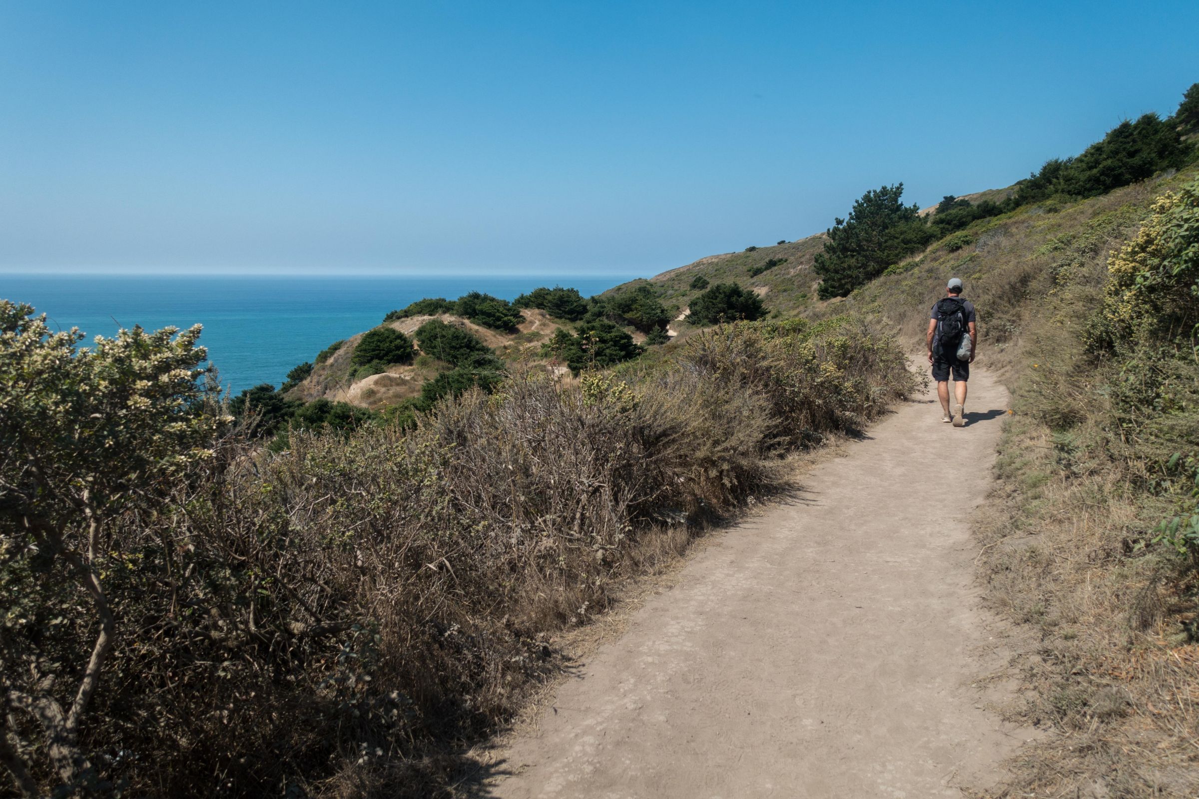
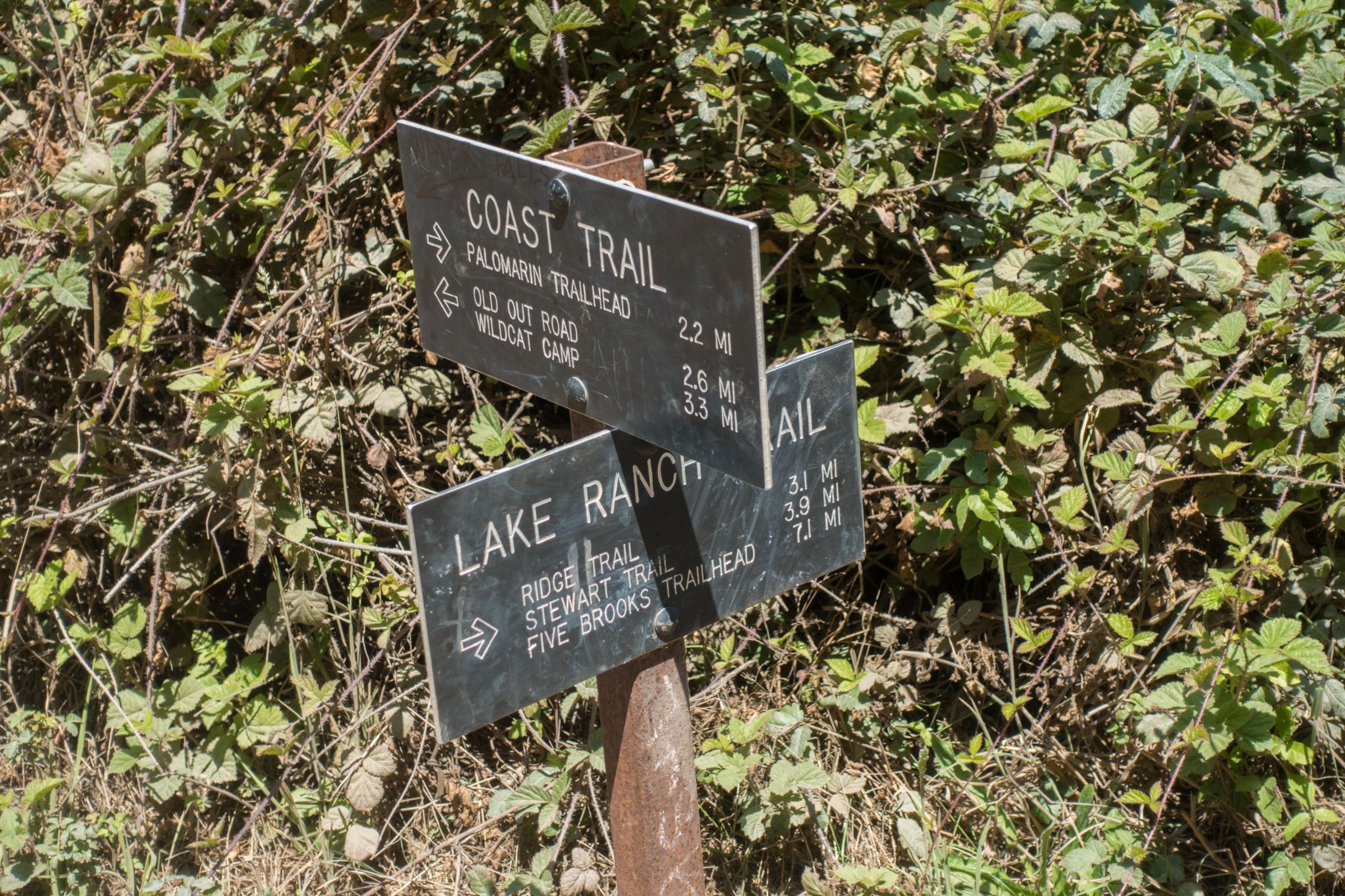
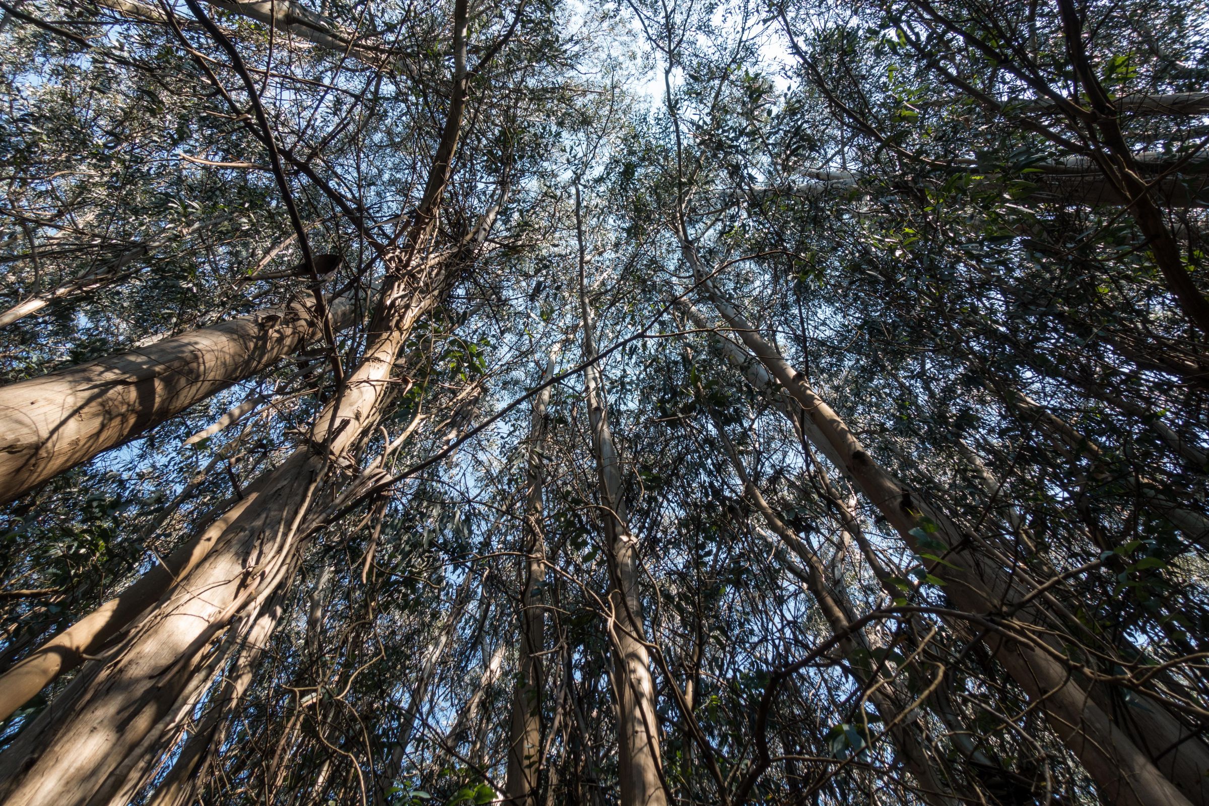
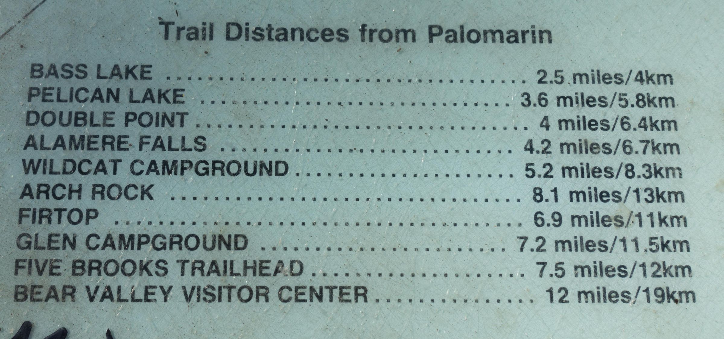
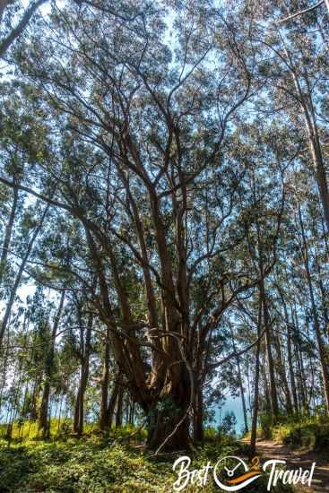
The hike to Alamere Falls via the shortest route begins at the Palomarin Trailhead, following an easy up‑and‑down path with about 300 feet of elevation gain. The first stretch leads through a fragrant eucalyptus forest before opening up to sweeping coastal views. This section is fully exposed to the sun, and on warm summer days it can feel surprisingly hot, even if the night before was chilly — we started our hike after a cold August night with temperatures below 50°F and were rewarded with a bright blue sky.
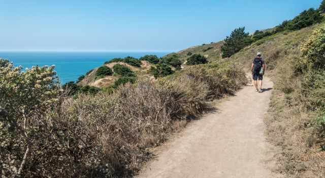
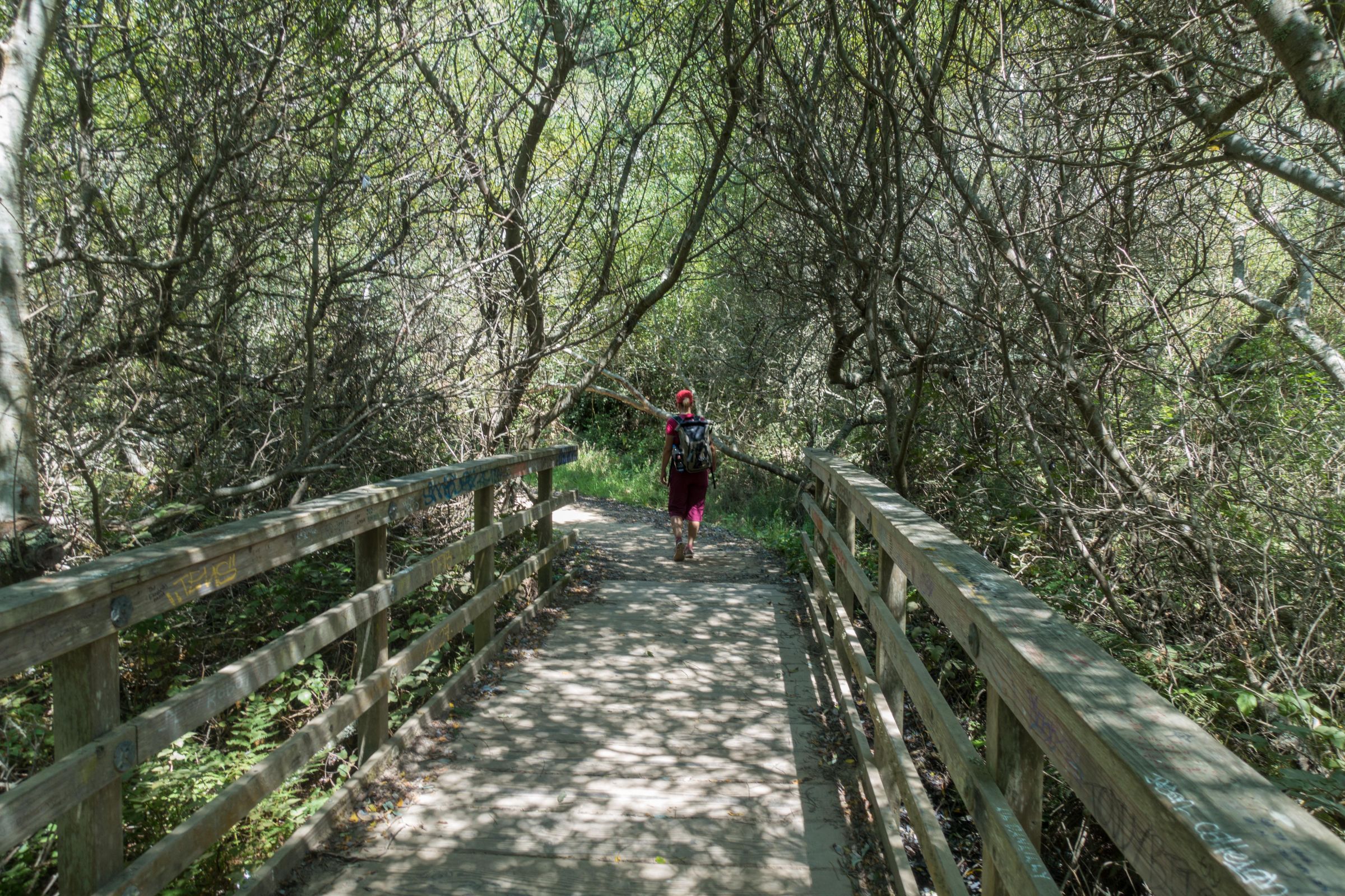
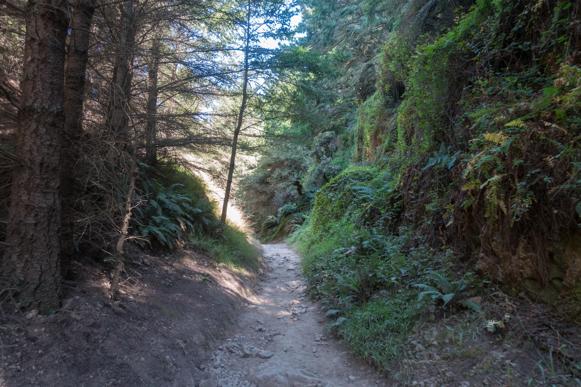
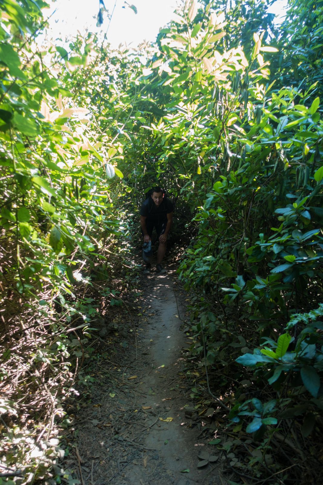
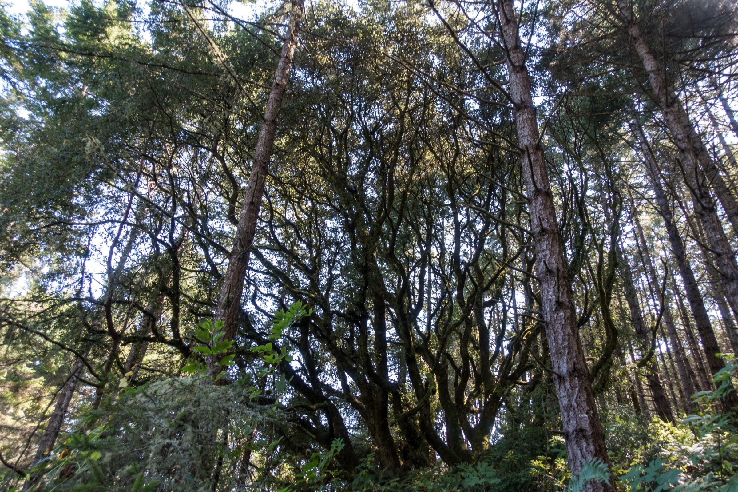
As the trail continues, it winds through dense forest and passes several lakes, each surrounded by lush vegetation. After the forested section, the landscape opens again into meadows and low coastal scrub. Around 3.7 miles (6 km) from the trailhead, you’ll need to turn left into a narrow corridor of thick brush.
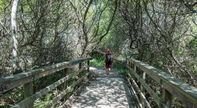
The shortcut is not officially marked; sometimes hikers create a small arrow from pebbles or leave a stick draped with masks or ribbons on the ground, but these markers are unreliable. We used a hiking map on our phone to avoid missing the turn — if you’re curious which mapping app we rely on, you’ll find it in my tips and gear section. The shortcut itself is only about 100 meters (328 feet) long, but it is tight and overgrown in places.
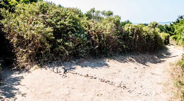
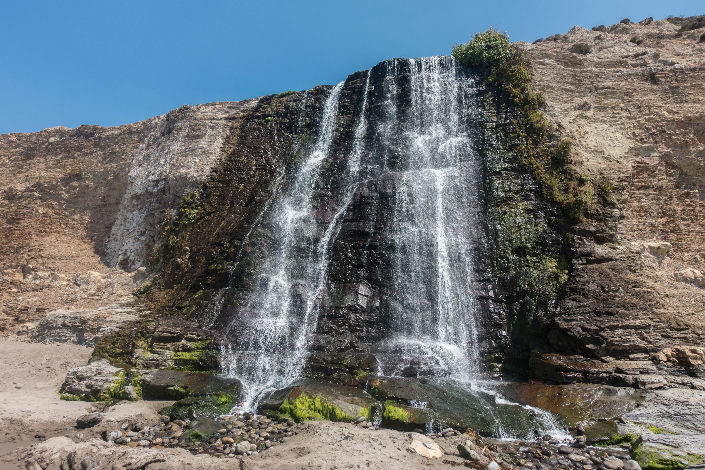
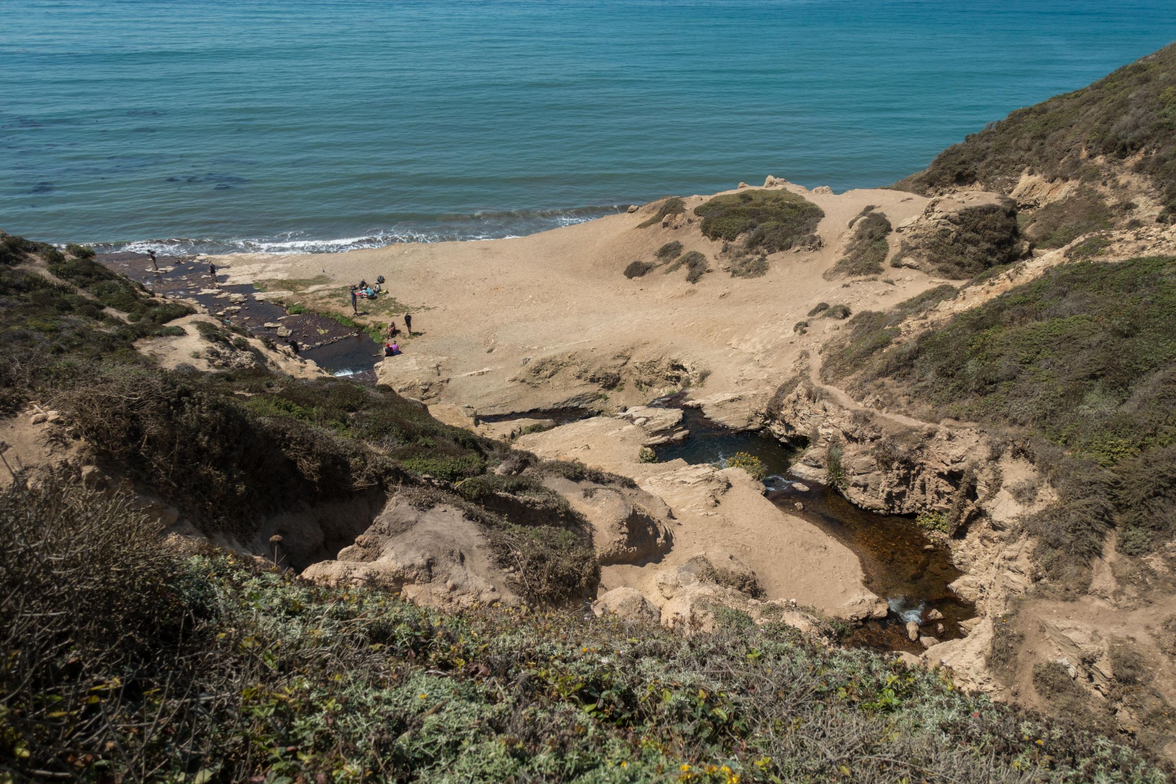
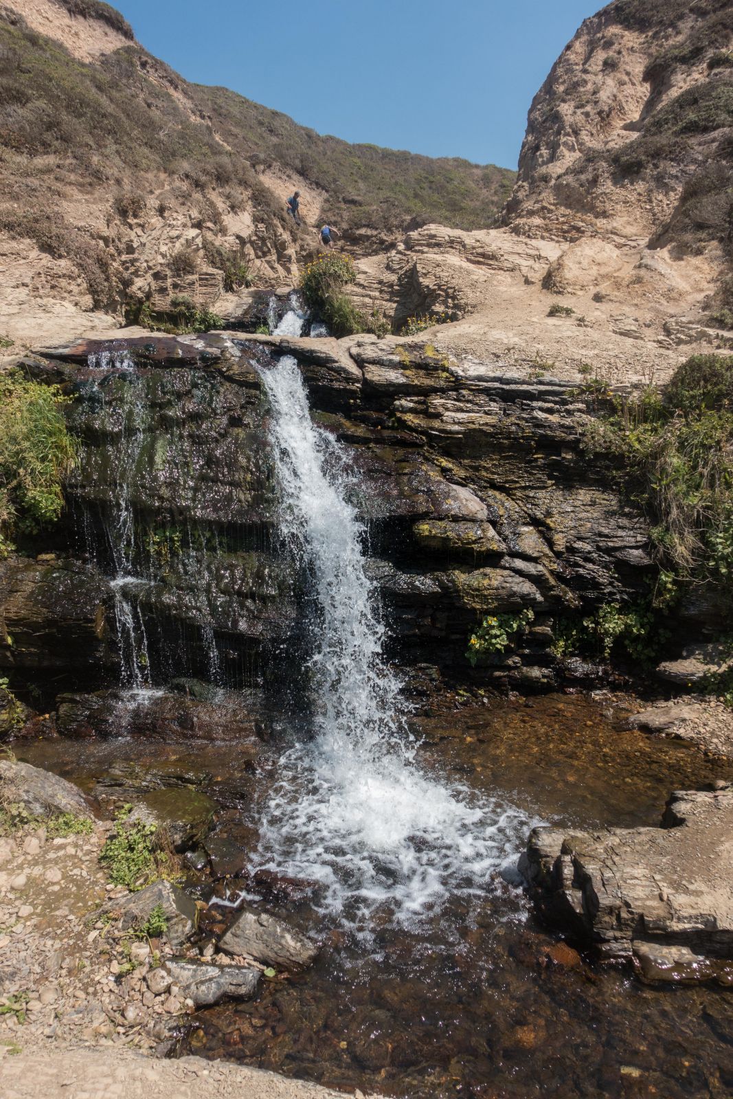
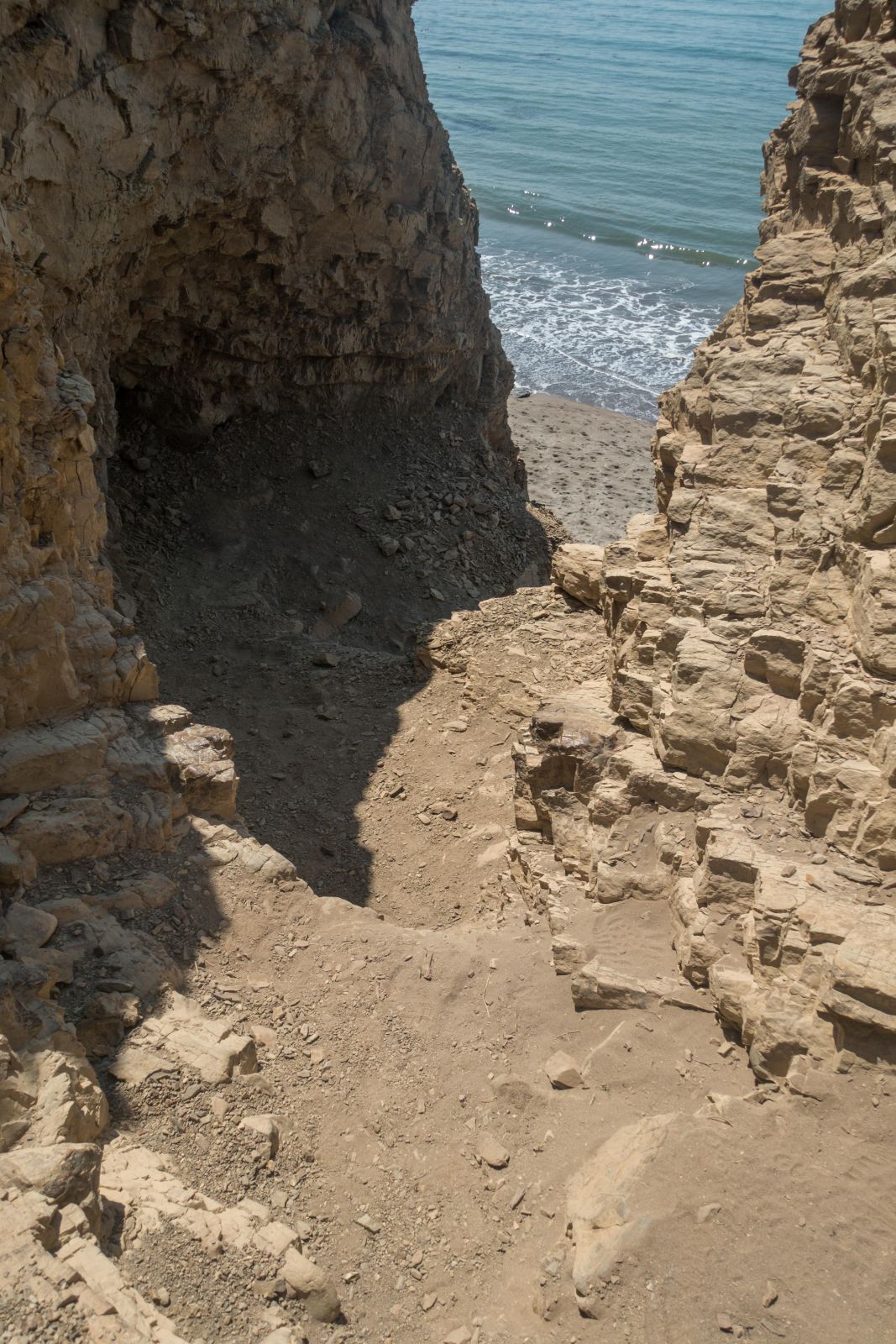
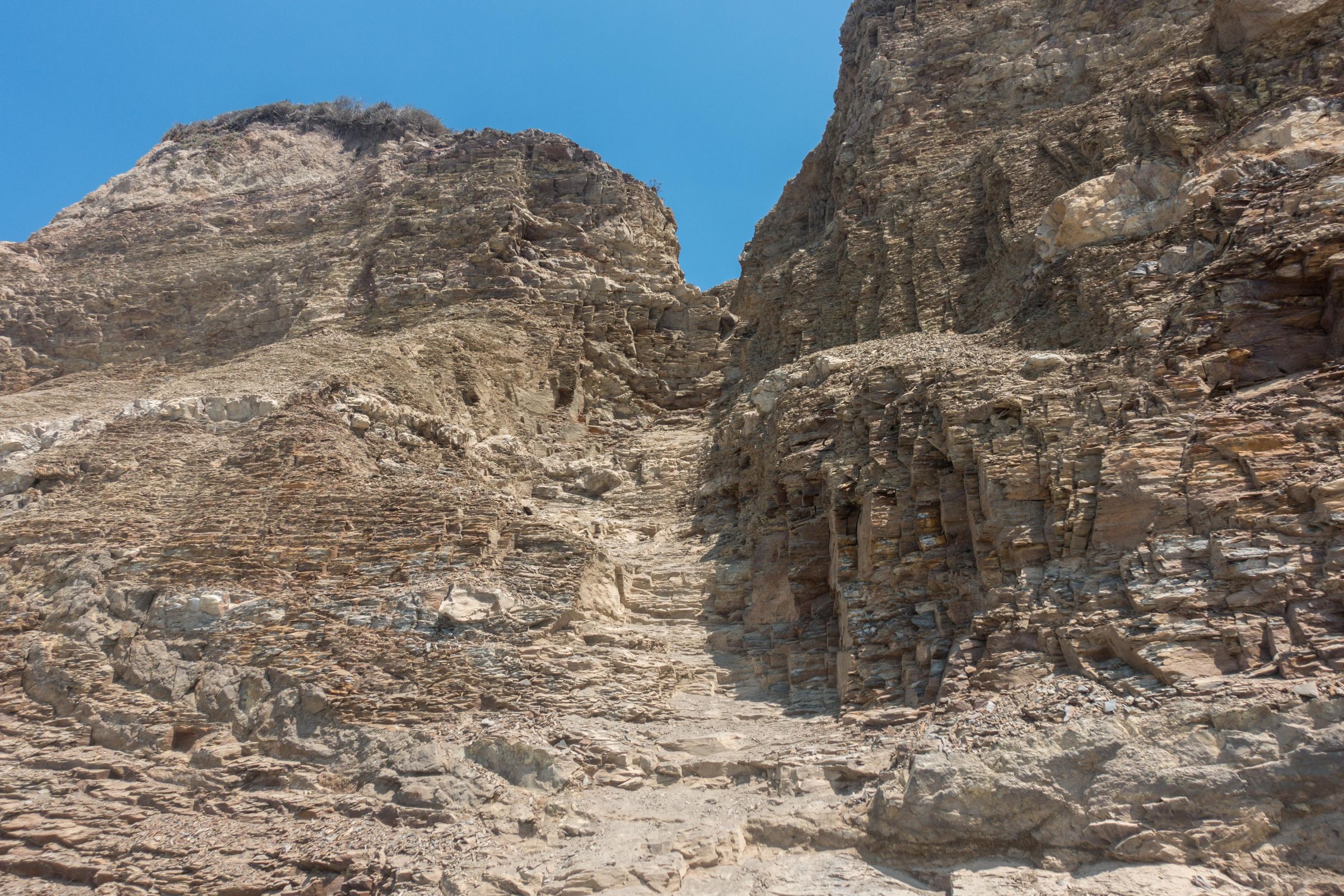
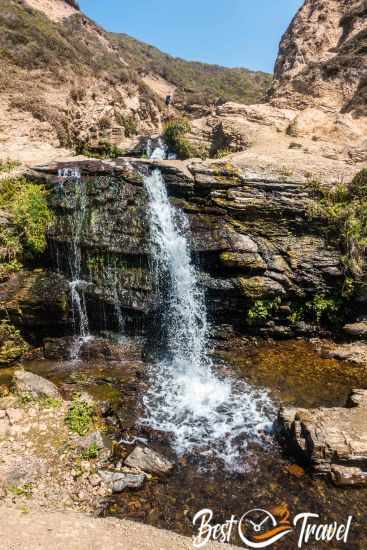
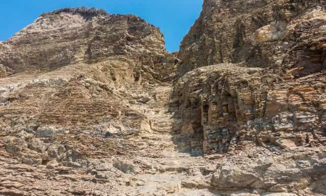
Once you emerge from the brush, it’s less than half a mile to the falls. You’ll first reach the upper cascades, where the water flows over several tiers before dropping dramatically onto the beach below. From here, turn left again to begin the steep descent. This final section is the most challenging part of the entire hike: it is unmaintained, slippery, and eroded, and hikers are injured here every week. I’m not encouraging anyone to take this route — if you choose to do so, it is entirely at your own risk. Proper footwear is essential, and going down is significantly harder than scrambling back up on the loose rocks.
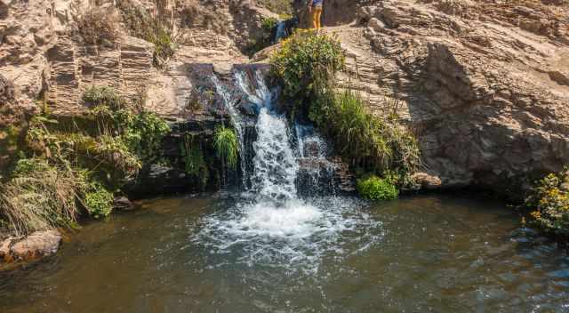
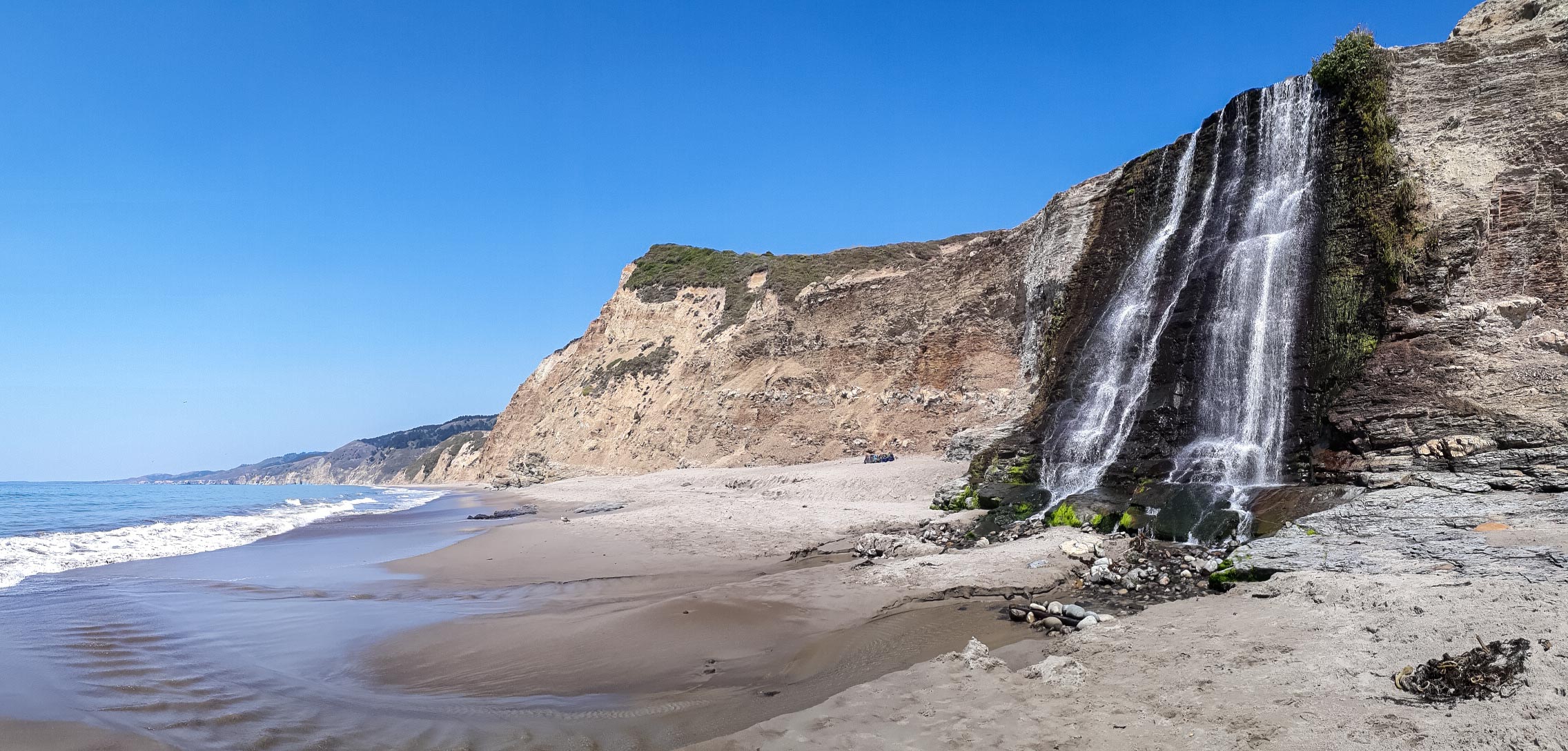
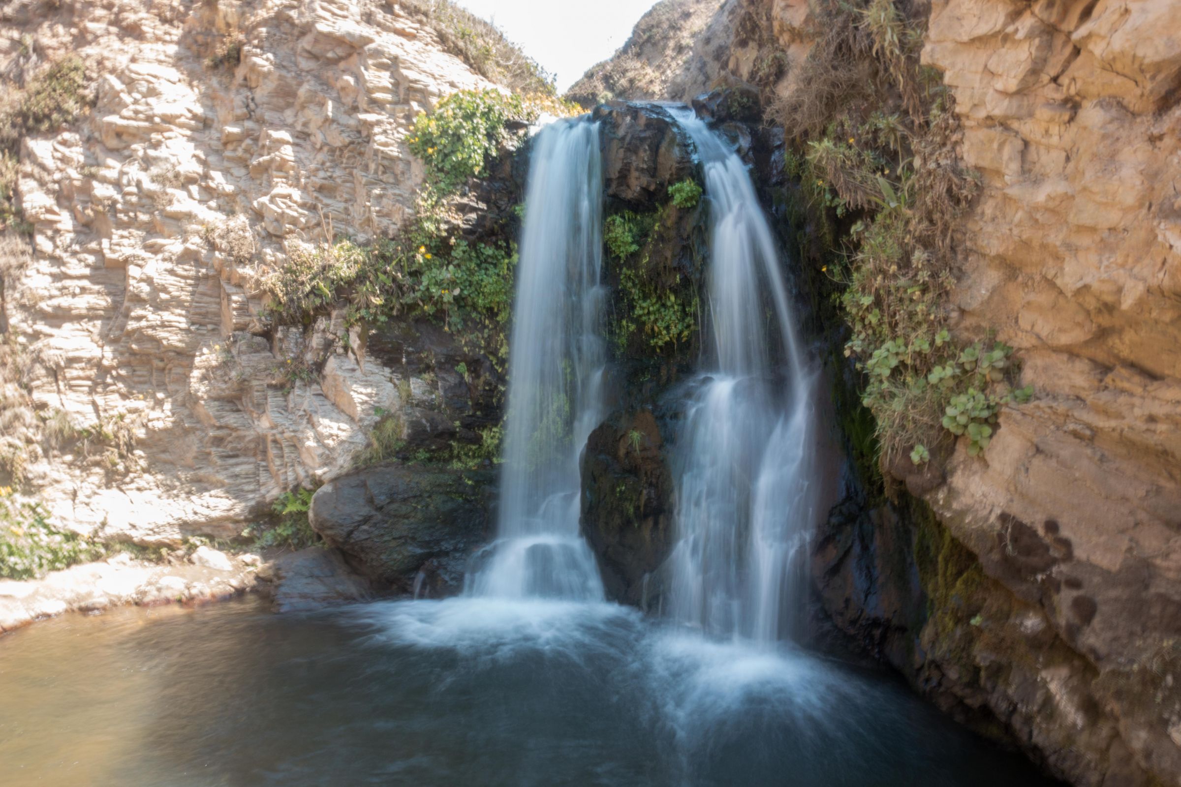
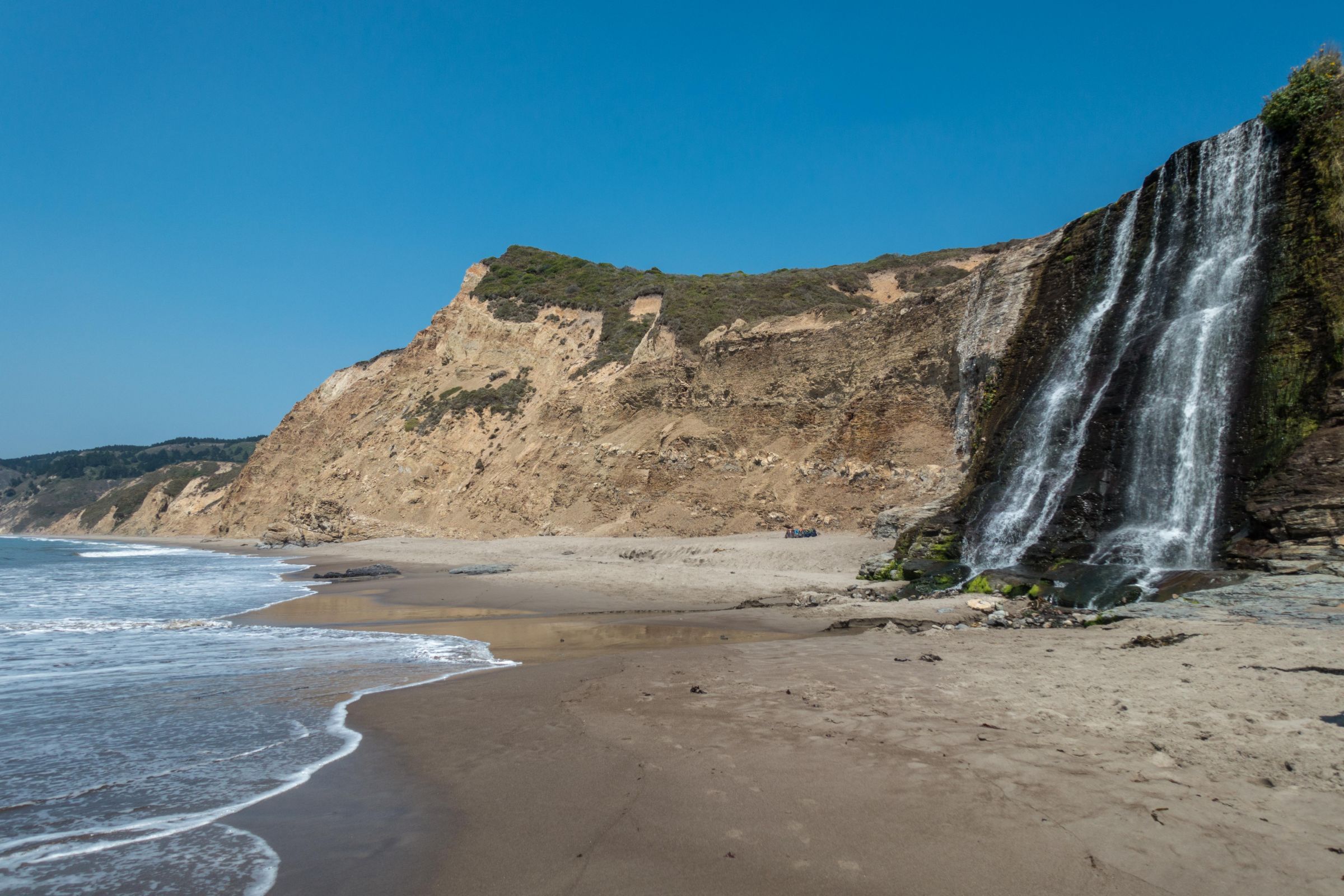
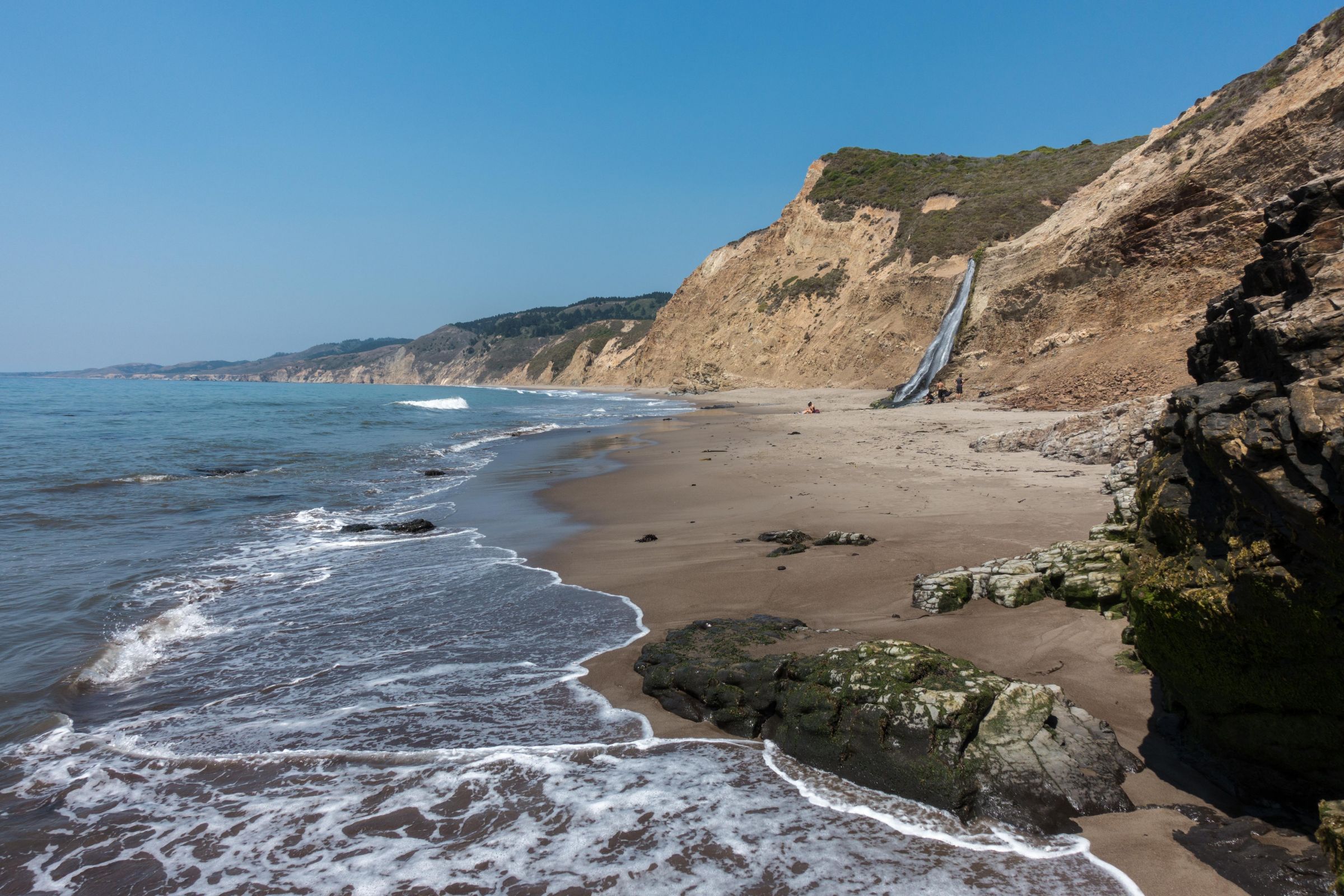
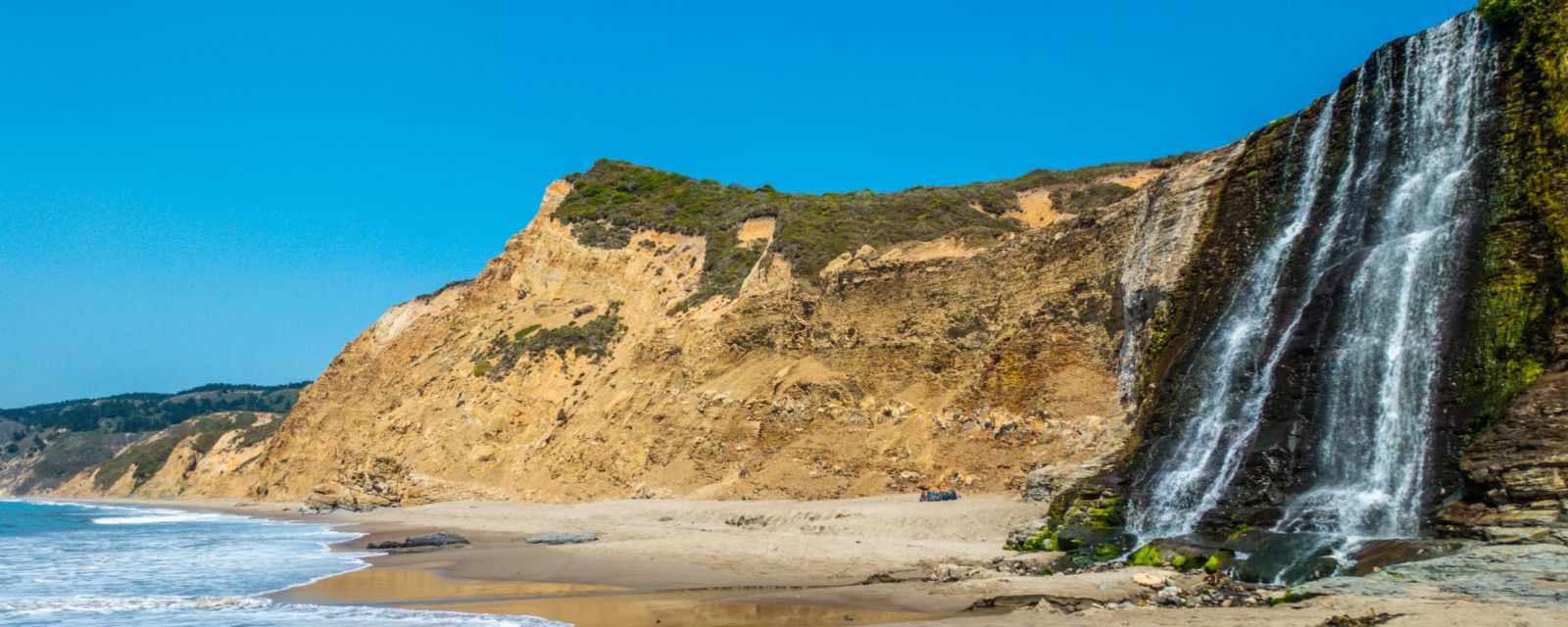
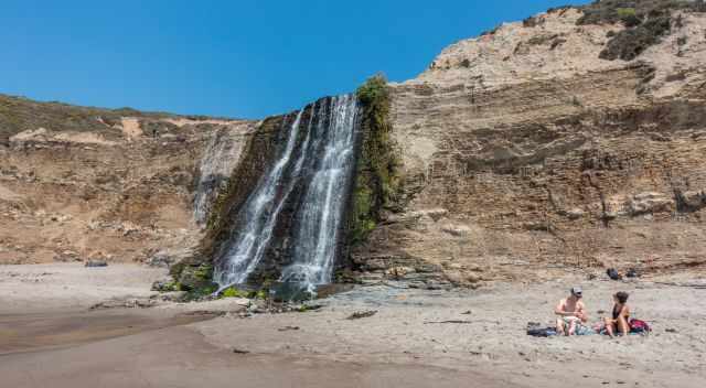
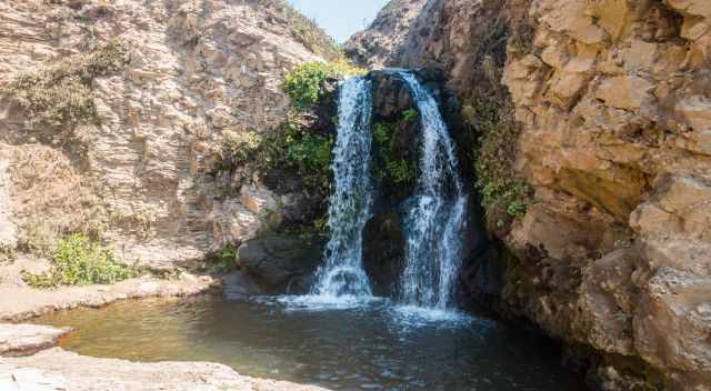
The lower waterfall plunges about 30 feet onto Wildcat Beach, creating one of California’s rare tidefalls. At high tide or during strong swell, reaching the base of the falls can be dangerous, so always keep an eye on the surf.
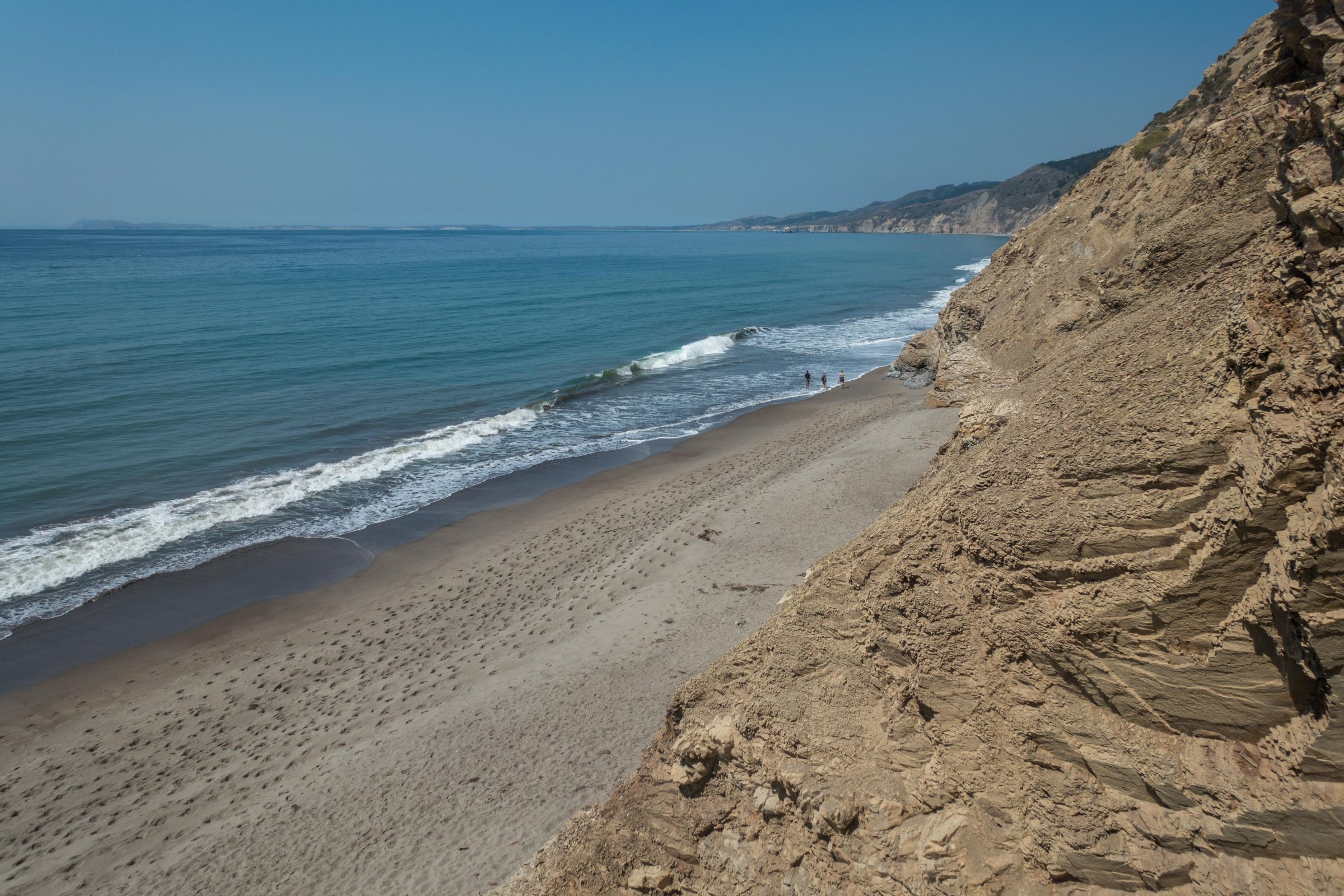
Despite the full parking lot, the beach feels wonderfully remote, making it a perfect spot for a quiet picnic before heading back.
Tip: Because conditions can change quickly, it’s always wise to check the latest updates before heading out — especially if there is a high surf warning, which can make Wildcat Beach dangerous or inaccessible. The tide schedule is crucial for anyone planning to reach Alamere Falls safely. Point Reyes Alerts
Disclaimer: I am not responsible for any injury, death, or consequences of any actions taken based on the information provided here. This is just my experience! Hike well prepared only, use hiking poles, and don't walk the described path if inexperienced.
Please Take Out What You Bring In
Point Reyes is a fragile coastal ecosystem, and the trail to Alamere Falls passes through sensitive habitats. Everything you carry in — food wrappers, tissues, bottles, even biodegradable items — must be carried out again. Leaving no trace protects wildlife, keeps the trail beautiful for everyone, and ensures that places like Wildcat Beach and the lakes remain pristine for future visitors.
Packing Checklist - 8 Tips
- Wear proper hiking boots, at least trainers. We saw people on the trail in flip-flops. I can't recommend this on the uneven track, especially when climbing.
- Plenty of water is needed, especially in summer or carry a water filter and drink electrolytes.
- High-energy food or a picnic for the day hike.
- Sun protection: a hat and sunscreen for the intense sun; expect UV 10 in summer.
- Bring a wind jacket in your backpack for the strong breeze along the coast.
- A mapping app is always helpful. Although most of the trails are marked, you can easily take the wrong way when looking for a swim in one of the lakes.
- Swim clothes and a towel in the summer. Have a bath but don't swim here; strong currents occur, and the sea is too rough and cold, with a maximum of 64°F/ 18°C. However, you can swim either in one of the lakes or take a bath at the upper Alamere Falls.
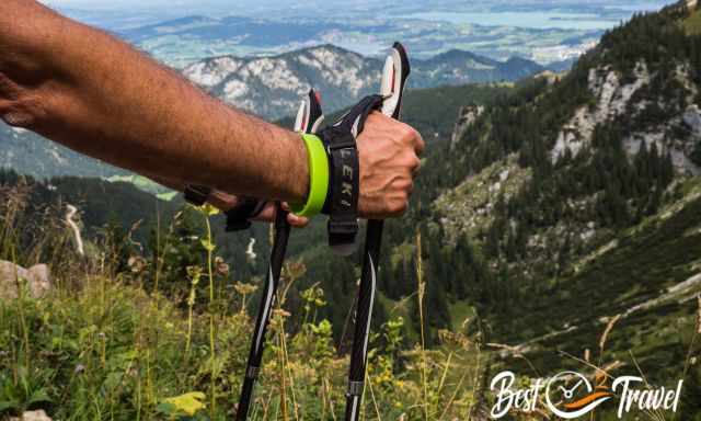
- Depending on the trail you choose, think about hiking poles for the steep descent and ascent to the beach and back. If we plan a long day hike or steep trail, we never go without our hiking poles from Leki.
Weather at Point Reyes for All Seasons
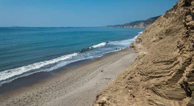
Point Reyes has a mild coastal climate shaped by the Pacific Ocean, with dry summers, cool winters, and a strong seasonal rhythm that every visitor should understand — especially those hiking to Alamere Falls. Rain is rare from mid‑April through October, while most precipitation arrives between December and March. Wind is a constant companion here, and the strongest gusts typically occur in November and December. Summer brings the well‑known coastal fog, often settling over the peninsula from June to September. When the inland heats up, the fog can linger until the afternoon, creating the moody, atmospheric conditions Point Reyes is famous for.
Spring is one of the most pleasant seasons, with daytime temperatures between 64 and 70°F (18–21°C). March can still be quite wet, with more than five inches of rainfall, but conditions improve quickly in April and May. Late spring and early summer often bring the “June Gloom,” a weather pattern of cool, foggy mornings that usually clear later in the day. Nights remain chilly, around 46°F (8°C).
Summer is the warmest and driest time of year, yet Point Reyes rarely exceeds 86°F (30°C) thanks to the cooling ocean breeze. The sun is intense on the exposed trails, so sunscreen and a hat are essential. Campers should be prepared for cold nights around 54°F (12°C). The coastal fog associated with June Gloom can appear well into September.
Autumn is another excellent season to visit. October often brings warm days in the mid‑70s°F (around 24°C), while November cools to below 68°F (20°C) but remains comfortable. Rainfall increases from about two inches in October to more than five inches in November, and winds strengthen again toward the end of the year. Night temperatures average around 50°F (10°C), making camping still manageable.
Winter is the wettest and coldest season, with frequent storms and strong winds in December. Even so, daytime temperatures hover around 59°F (15°C), making it a surprisingly pleasant time for hiking on clear days. Winter is also the quietest season, offering peaceful trails and dramatic coastal scenery. Thanks to the ocean’s influence, freezing temperatures are extremely rare, and nights typically stay between 44 and 46°F (7–9°C).
  |
Are you are looking to explore more? With the California Bucket List Adventure Guide & Journal, you will be able to enjoy and discover every landscape and magical place in the different regions of California without getting lost! Featuring more than 50 must-see destinations in the state alongside the Pacific, you will be well-equipped to start your adventure! |
Why You Should Stay Nearby Point Reyes in the Summer

Reaching the Palomarin Trailhead early is essential in summer, and that often means leaving in the middle of the night if you’re coming from San Francisco. To secure a parking space, you need to cross the Golden Gate Bridge long before rush‑hour traffic begins — not exactly the most relaxing start to a day of hiking. A far better option is to stay overnight near Point Reyes, either in one of the nearby hotels or at the Point Reyes Hostel inside the national seashore. Waking up close to the trailhead allows you to begin your hike well‑rested, avoid the morning stress, and enjoy Alamere Falls at its best.
Best Months to Visit
Location and Tips

The entire Point Reyes Peninsula was protected in 1962, and its dramatic landscape is shaped by the San Andreas Fault, which separates it from the mainland. The powerful 1906 earthquake dramatically shifted the land here, and you can still see evidence of it on the Earthquake Trail near the Bear Valley Visitor Center — a short, fascinating walk that brings the region’s geology to life.
Attention: Poison Oak & Safety at Alamere Falls

Poison oak is widespread throughout Point Reyes, growing both as groundcover and as dense shrubs along the trail. The oily resin on its leaves, stems, and roots can cause an intensely itchy rash that lasts for days, so it’s important to stay on the path and avoid brushing against vegetation in overgrown sections.
Camping Near Alamere Falls
Point Reyes offers four backcountry campgrounds — Wildcat, Coast, Glen, and Sky Camp — and staying at one of them can make your visit to Alamere Falls far more relaxed. Wildcat Campground is the most convenient option for reaching the falls, but hikers approaching from here must be especially careful with the tide schedule. The final mile to Alamere Falls follows Wildcat Beach, and at high tide this stretch becomes impassable. Every year, hikers need to be rescued after getting trapped by the incoming surf. If you plan to camp and hike from Wildcat, checking the tide chart is absolutely essential for a safe trip.
Points of Interest Inside Point Reyes National Seashore
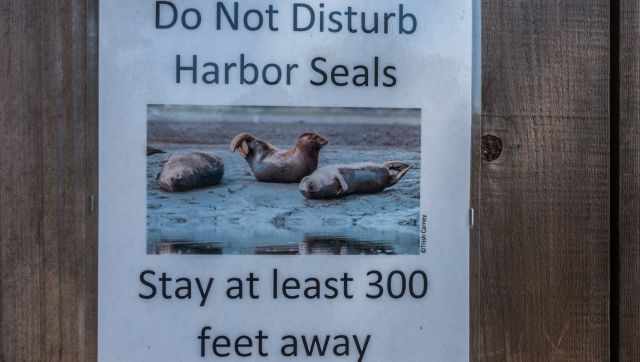
A visit to Alamere Falls pairs beautifully with some of the other highlights inside Point Reyes National Seashore, depending on the season and how much time you have. Wildlife lovers should always keep a respectful distance from the harbor seals, which often rest on the beaches and rocky shores. Signs throughout the park remind visitors not to approach them — especially during pupping season.
One of the most iconic landmarks is the Point Reyes Lighthouse, built in 1870 and perched dramatically on the edge of the peninsula. Reaching it requires descending more than 300 steps, but the view is spectacular when the fog lifts. The lighthouse is only open from Friday to Monday, so timing your visit is important.
Nearby, the Chimney Rock overlook offers one of the best vantage points for observing elephant seals, particularly during the breeding season from December to March. This area becomes very popular in winter, and shuttle buses are often used to manage the crowds.
Farther north, the Tule Elk Reserve on Tomales Point is another remarkable destination. Tule elk were reintroduced here in 1978, and today the peninsula is one of the best places in California to see them. The full hike to Tomales Bluff is more than 9 miles (15 km) round‑trip, but a shorter 2‑mile (3.2 km) walk to Windy Gap also offers excellent chances to spot elk, especially in spring. The rutting season, from August to late October or early November, is particularly impressive.
Point Reyes is also a prime location for whale watching. Migrating gray whales can often be seen from the lighthouse and Chimney Rock between January and April, while humpback whales pass the coast from November to March. On calm days, their blows are visible from the cliffs, adding another unforgettable moment to any visit.
Traveling Highway 101?
Here are more of my favorite stops along the route:
👉 Explore all my Highway 101 guides here
Please Respect My Photography
All photos on this website are my own. If you wish to use any of them, please contact me first — I’m happy to give permission, but I expect to be asked and credited. Unfortunately, hundreds of my images have been taken and used worldwide without approval or attribution. That’s why I include this reminder here. The internet has changed, and rewriting honest travel content has become a business model for many fake travel websites.
If you want to learn how to recognize such sites quickly and protect your own work, you can read my article on the topic. “The Truth About Fake Travel Websites and Picture Theft.”