
When Is the Best Time
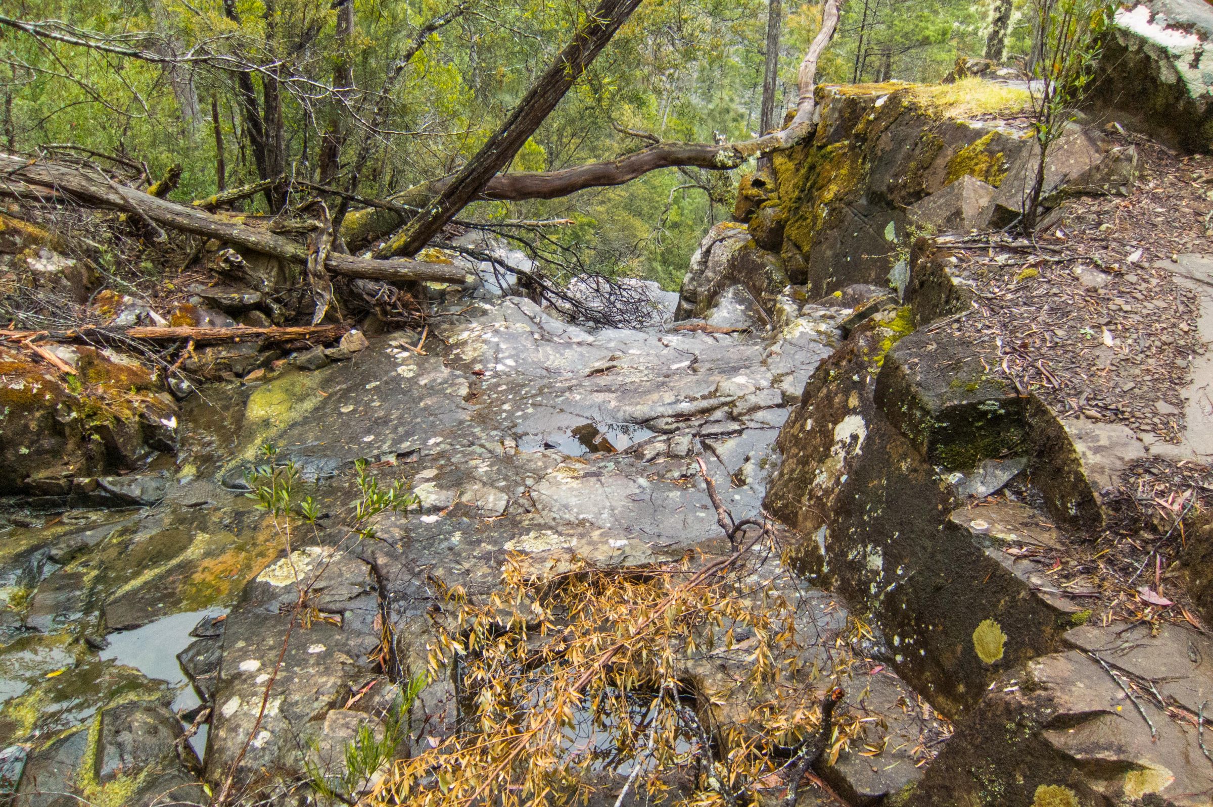
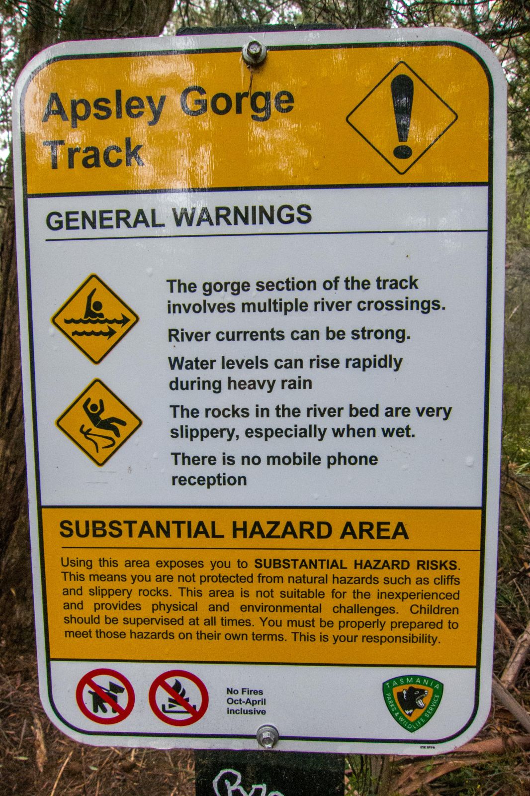
The Apsley River Gorge hike in Tasmania’s Douglas‑Apsley National Park is only safe at low water levels. After heavy rainfall, the river can flood rapidly, making the gorge impassable and even nearby roads unsafe. Always check the weather forecast before visiting, and avoid the hike if rain is predicted. Following our November trek, we returned to find flooded roads, closed trails, landslides, and several paths destroyed — a reminder of how quickly conditions can change in this rugged landscape.
No Crowds – A Hidden Gem in Tasmania
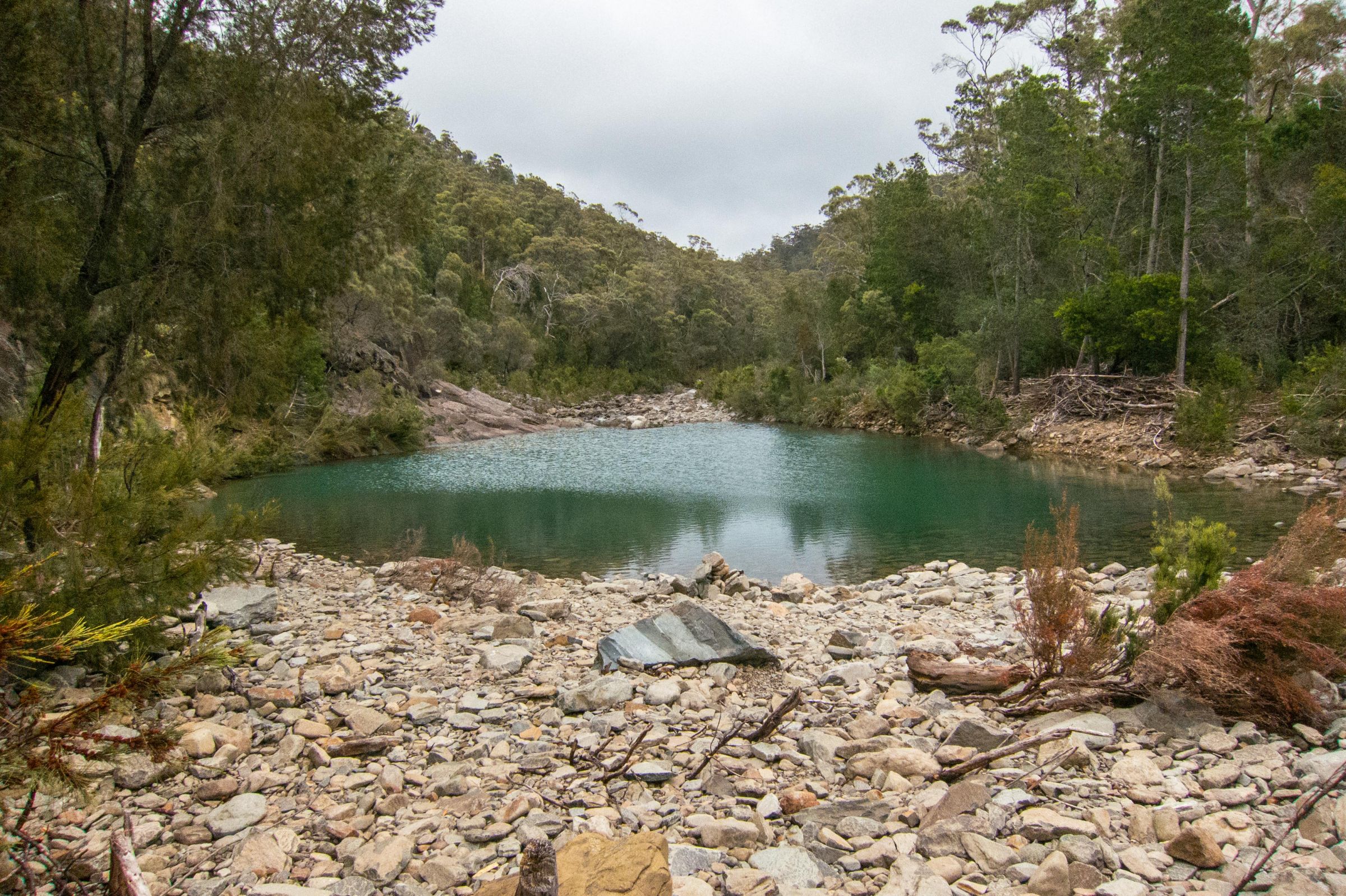
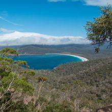
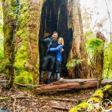
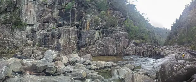
On our hike through Apsley River Gorge in Tasmania’s Douglas‑Apsley National Park, we didn’t see another soul. While the nearby Apsley River waterhole is popular for summer swimming, the gorge trail remains largely overlooked — offering true solitude and pristine wilderness. After visiting the bustling Freycinet National Park, we were amazed to find this peaceful escape.
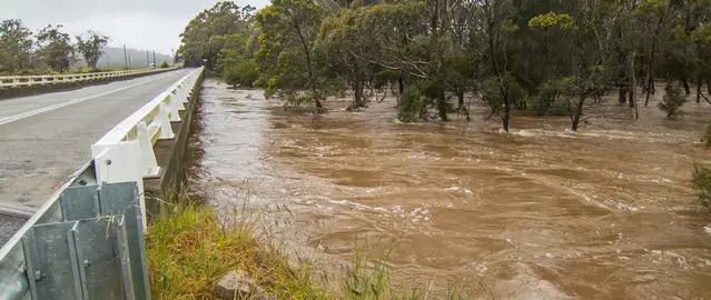
High river level after heavy rain in spring.
Pleasant temperatures are around 20°C in the summer from December to March. Nights can be cool—more precipitation in summer. The warmest month on average is January. The winter is mild with temperatures ranging from13-5°C. Freezing temperatures are not common. In general, the eastern part of Tasmania is much drier than the western. Bear in mind it’s Tassie rain can always occur.
Trail Description
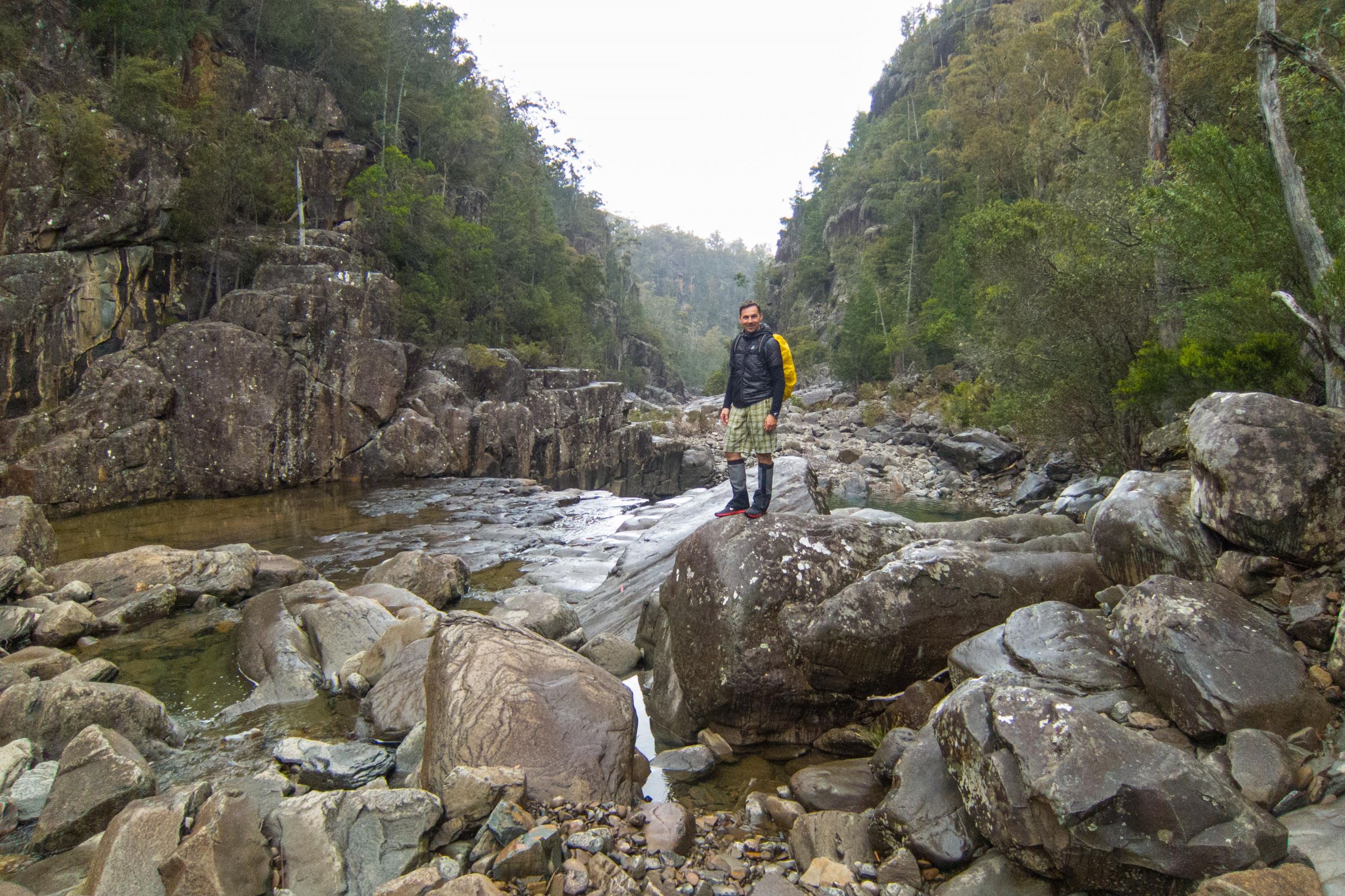
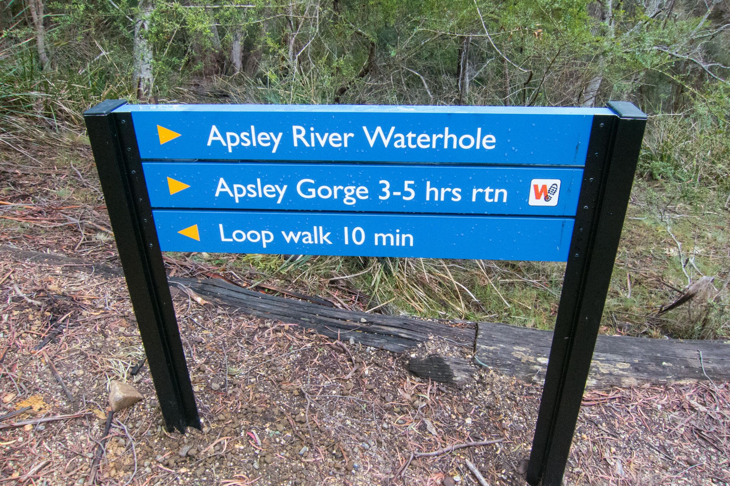
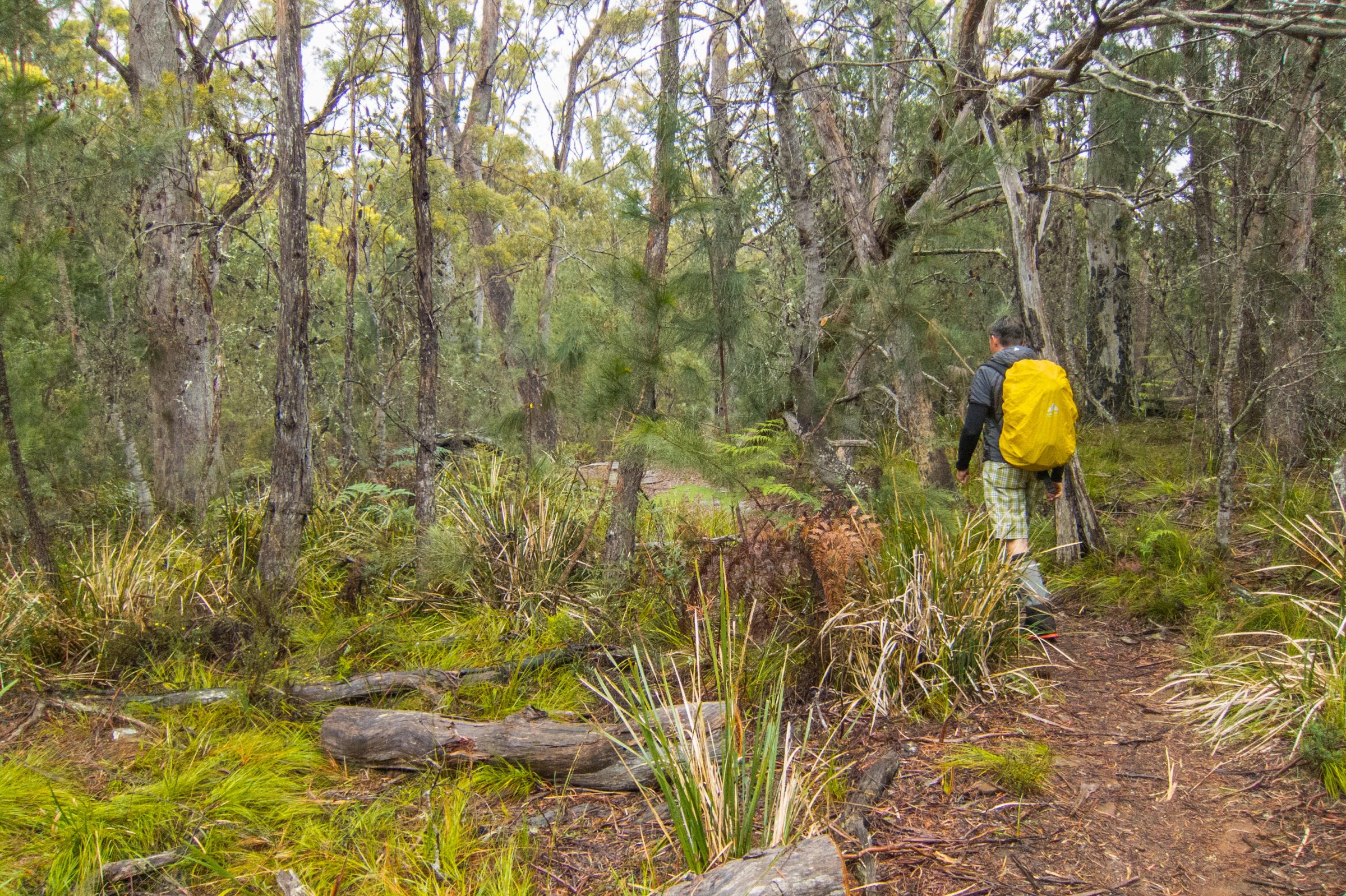
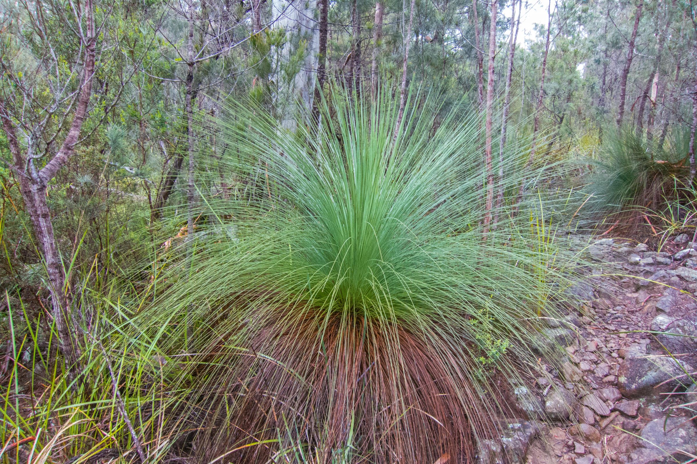
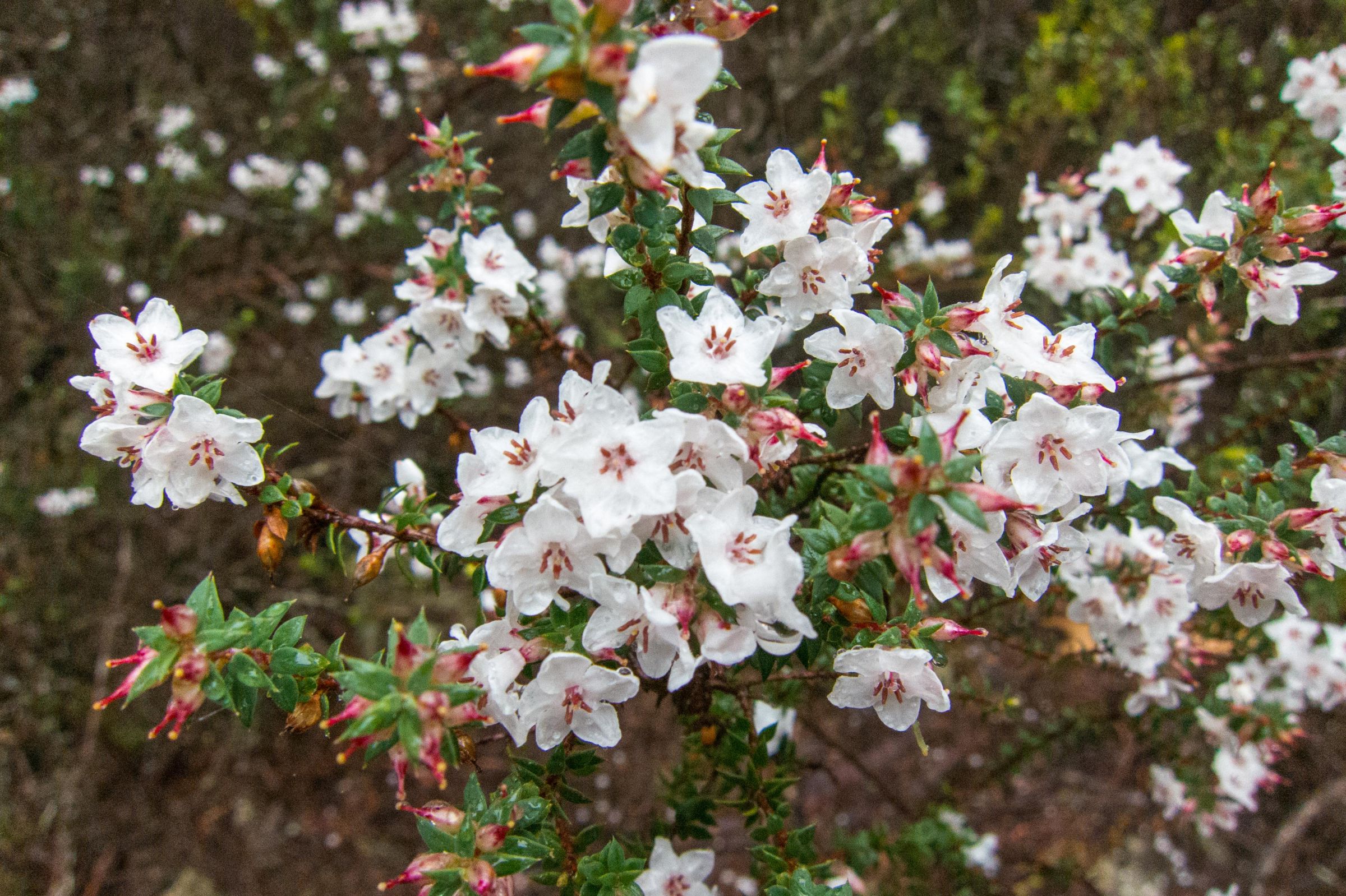
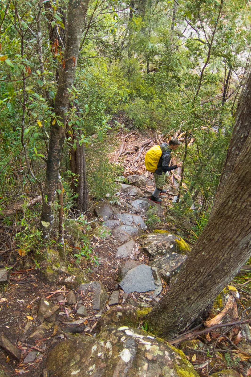
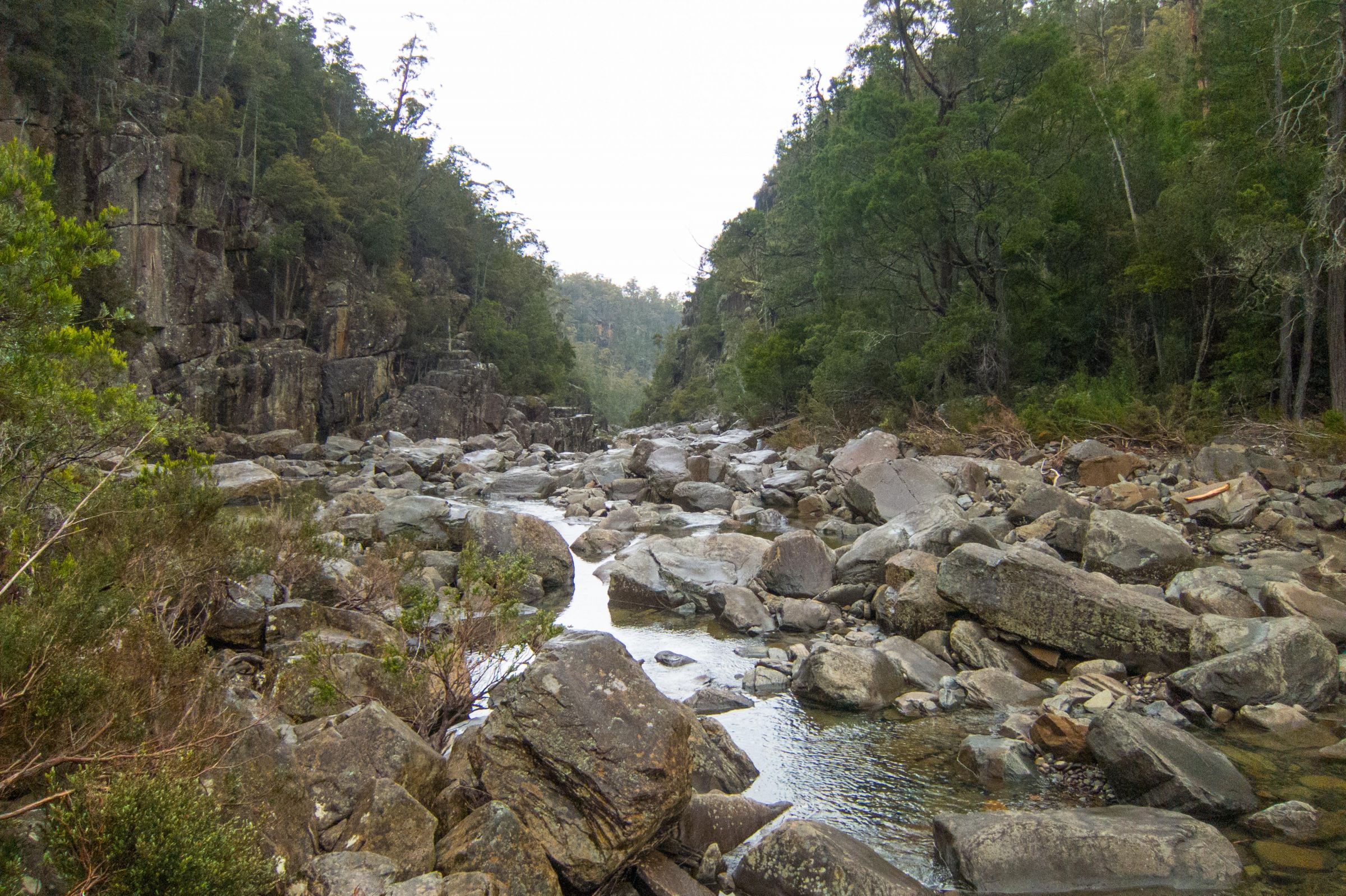
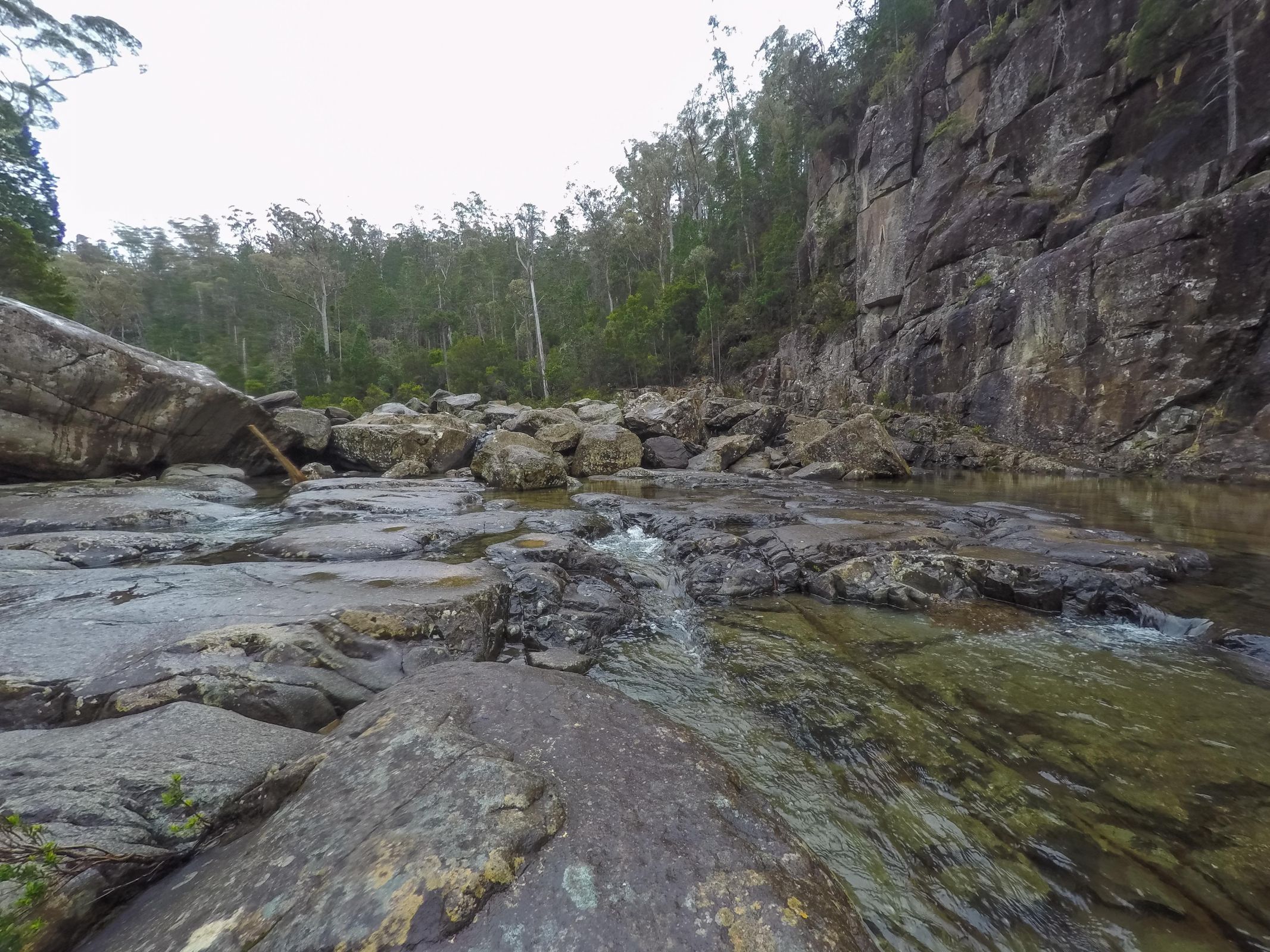
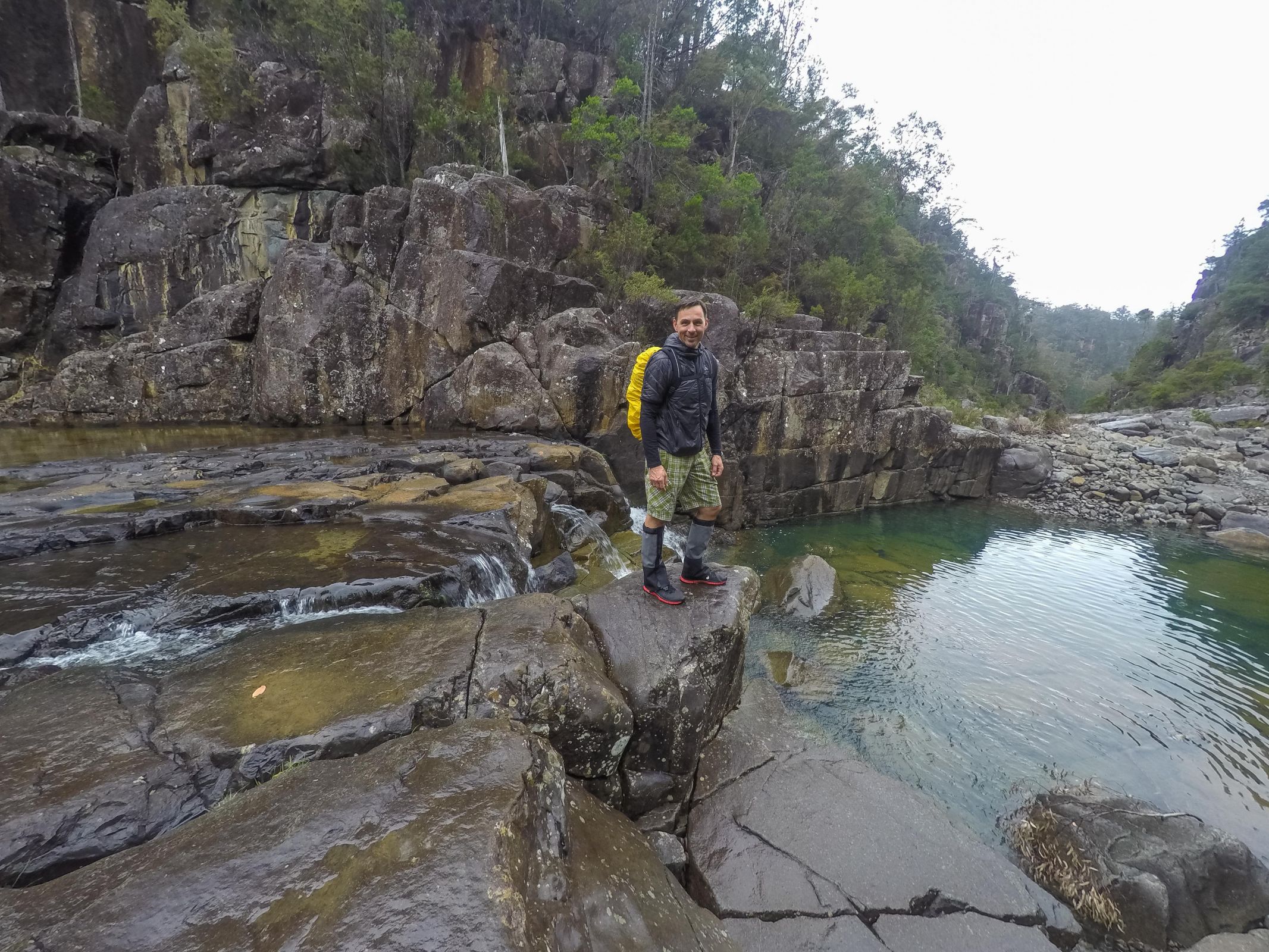
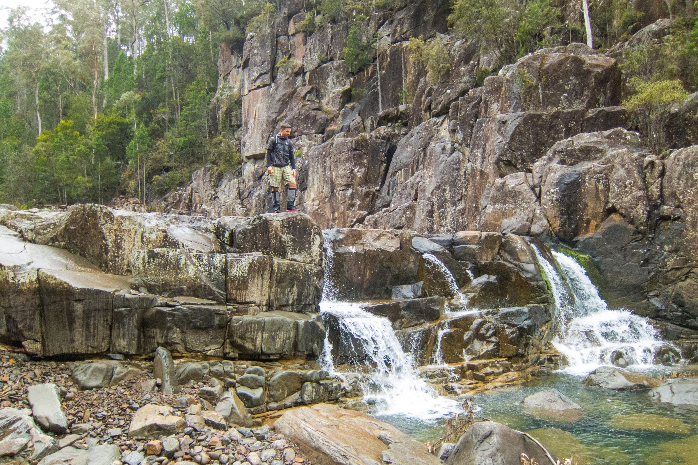
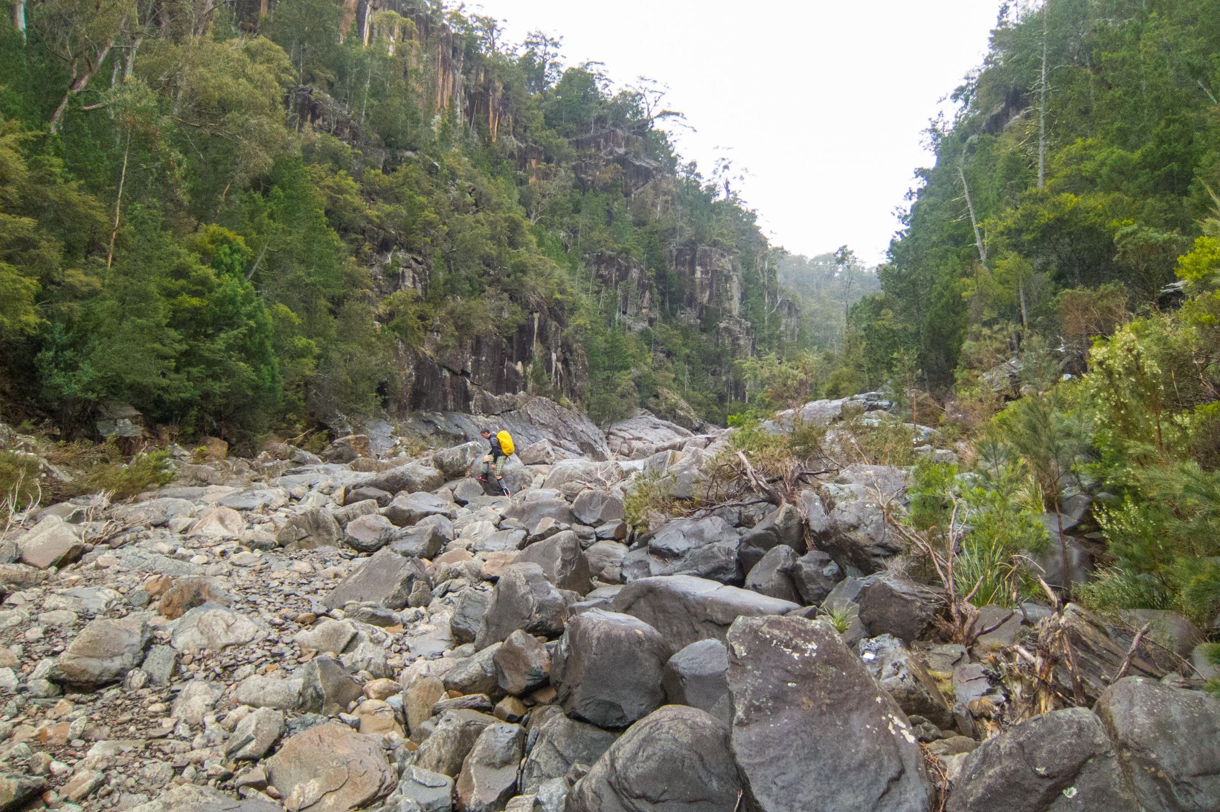
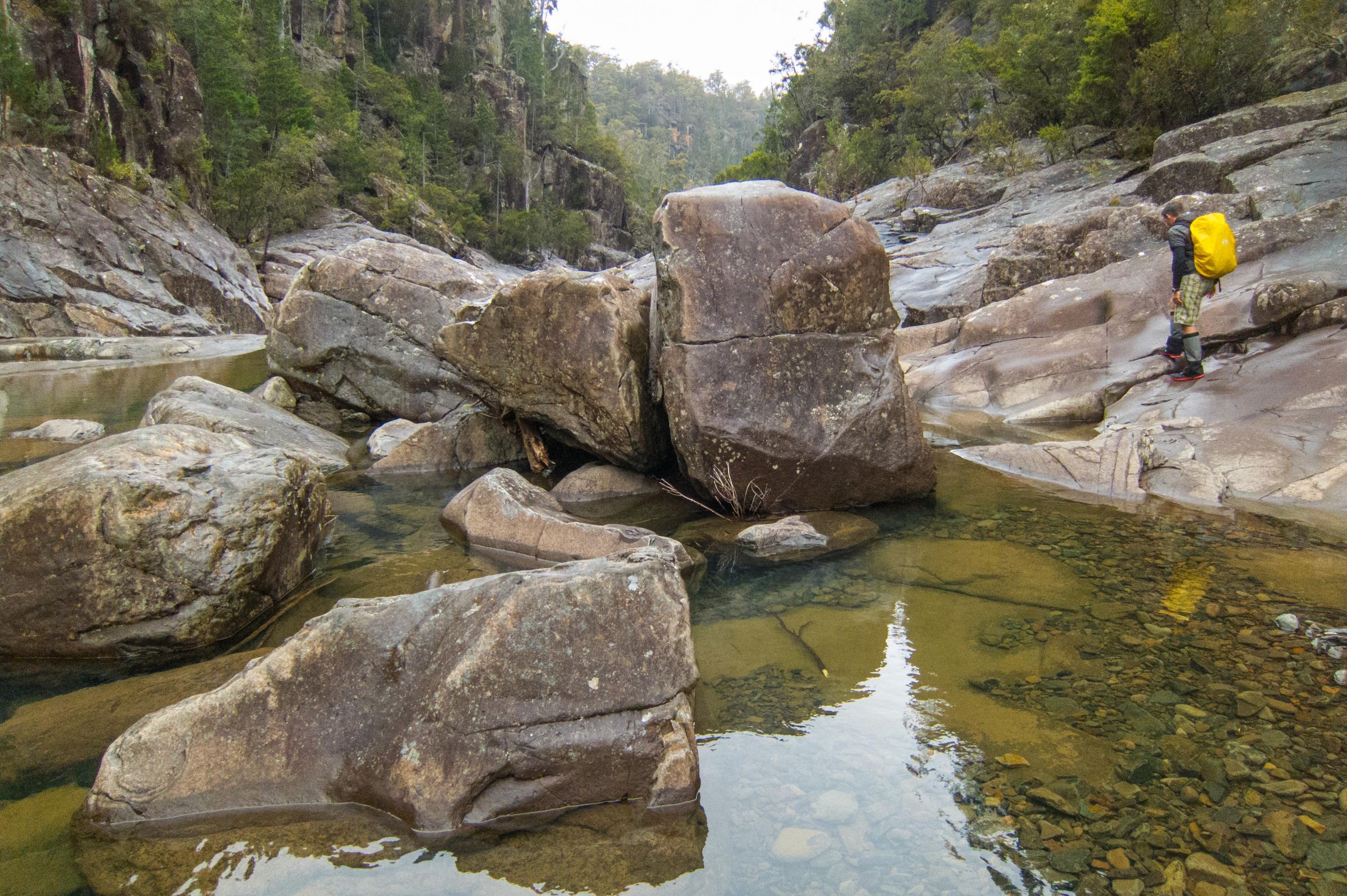
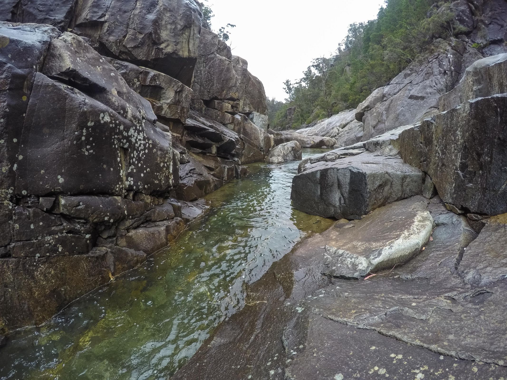
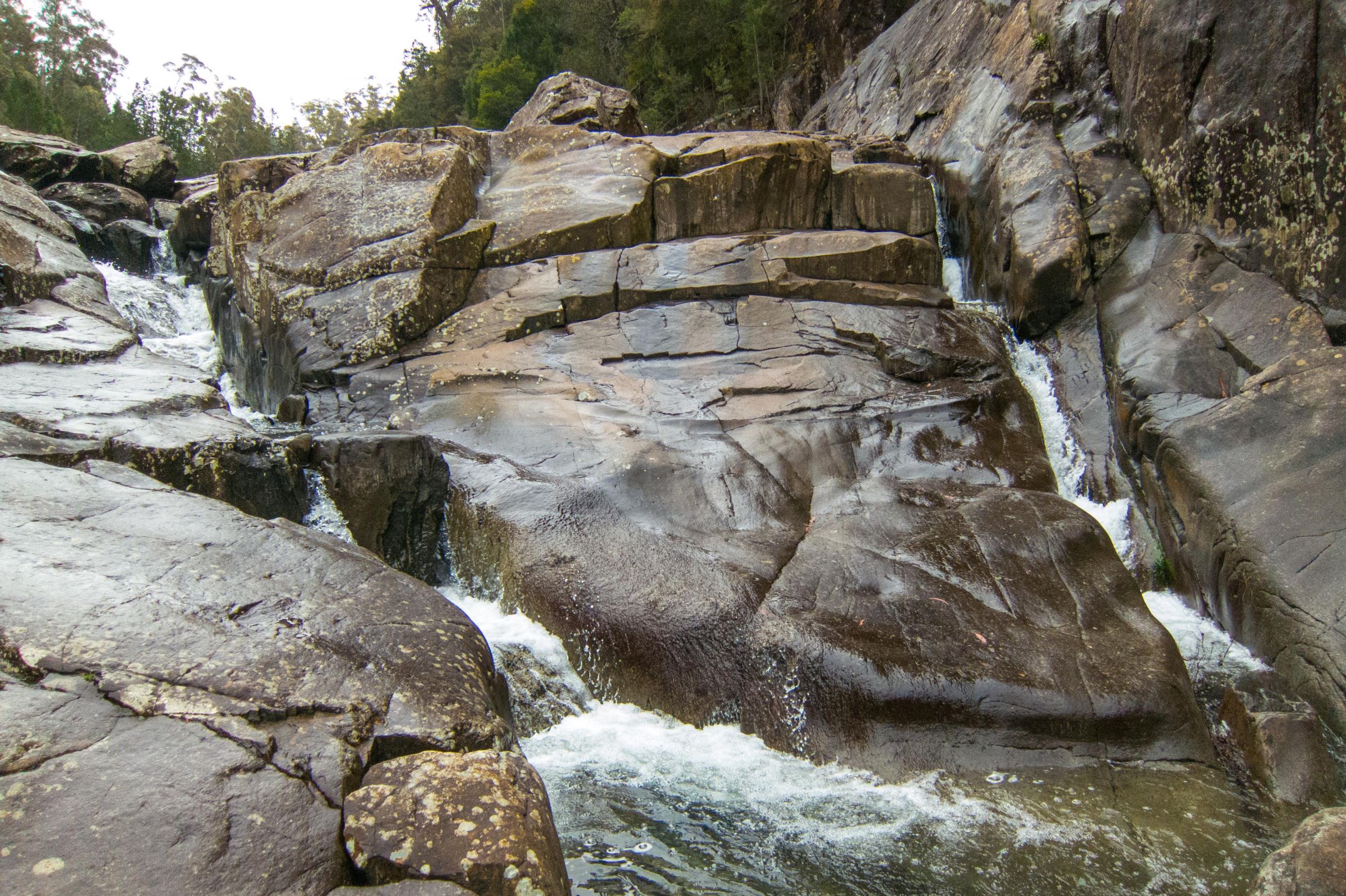
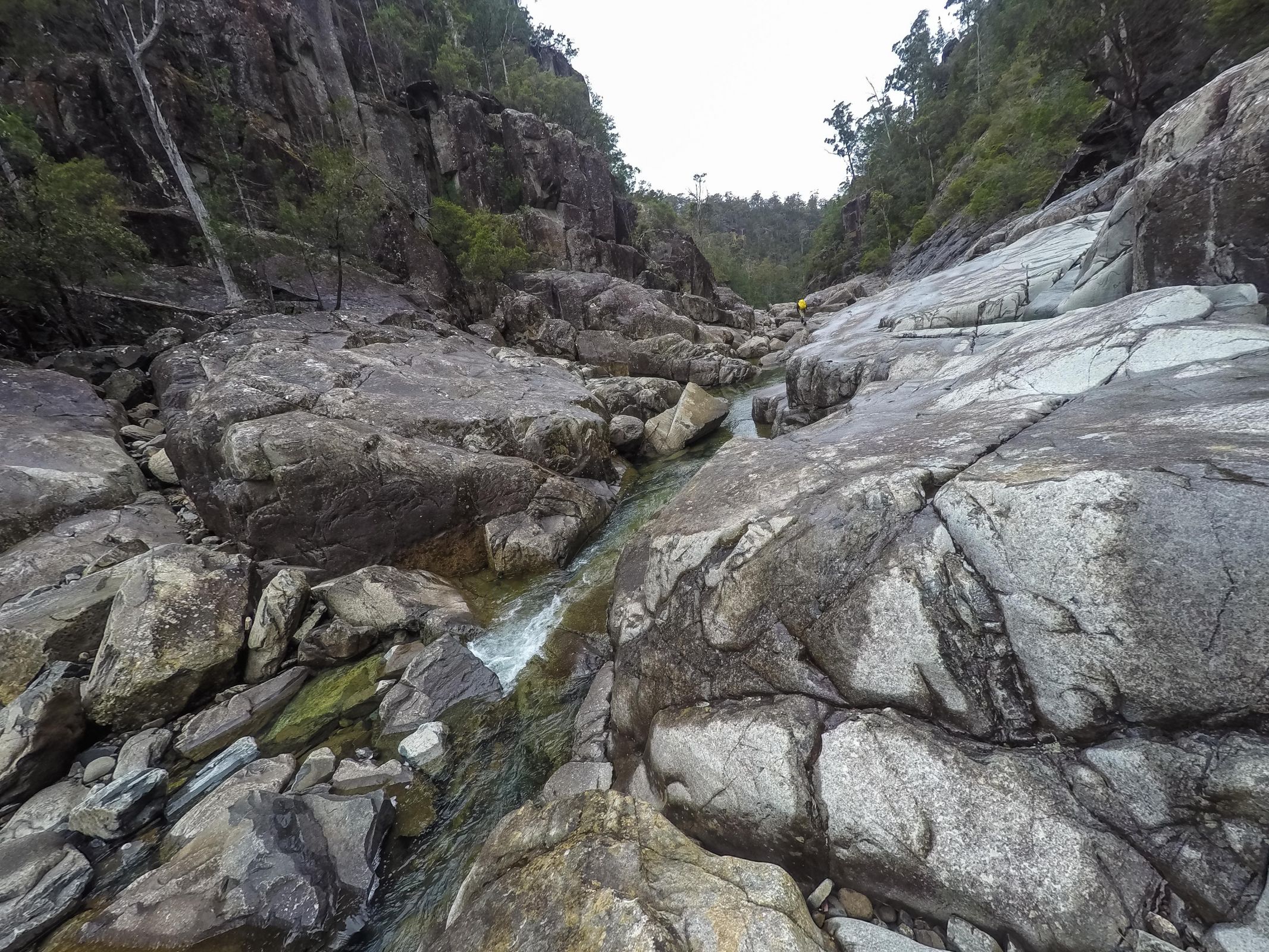
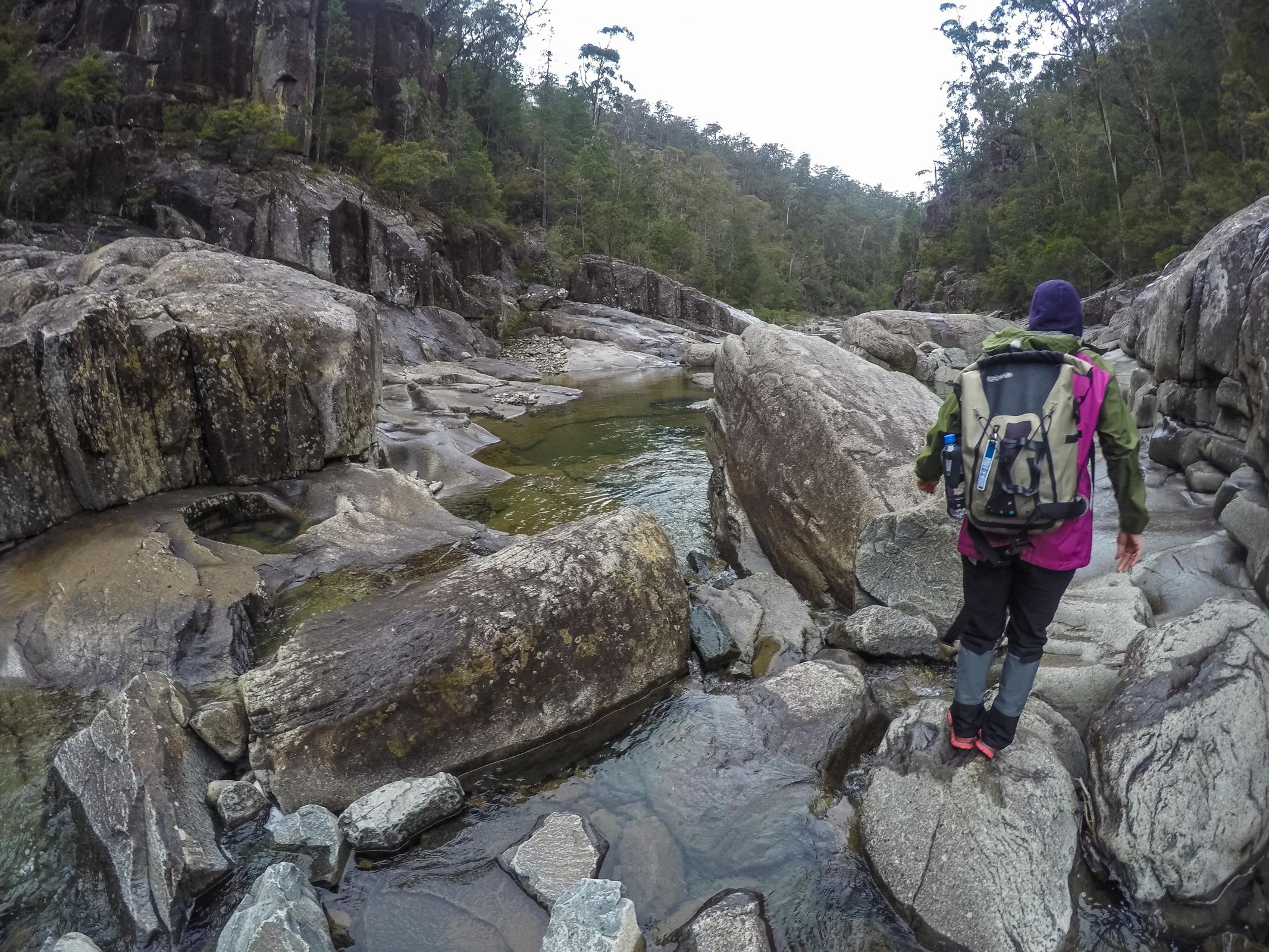
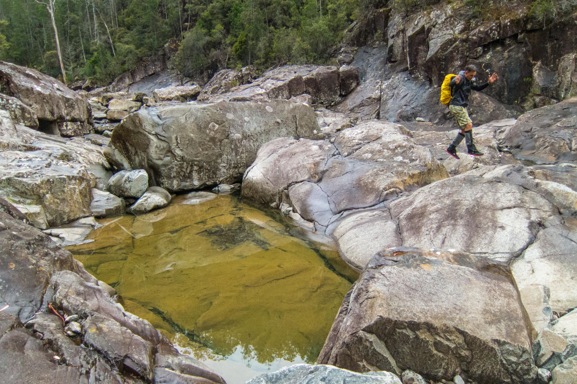
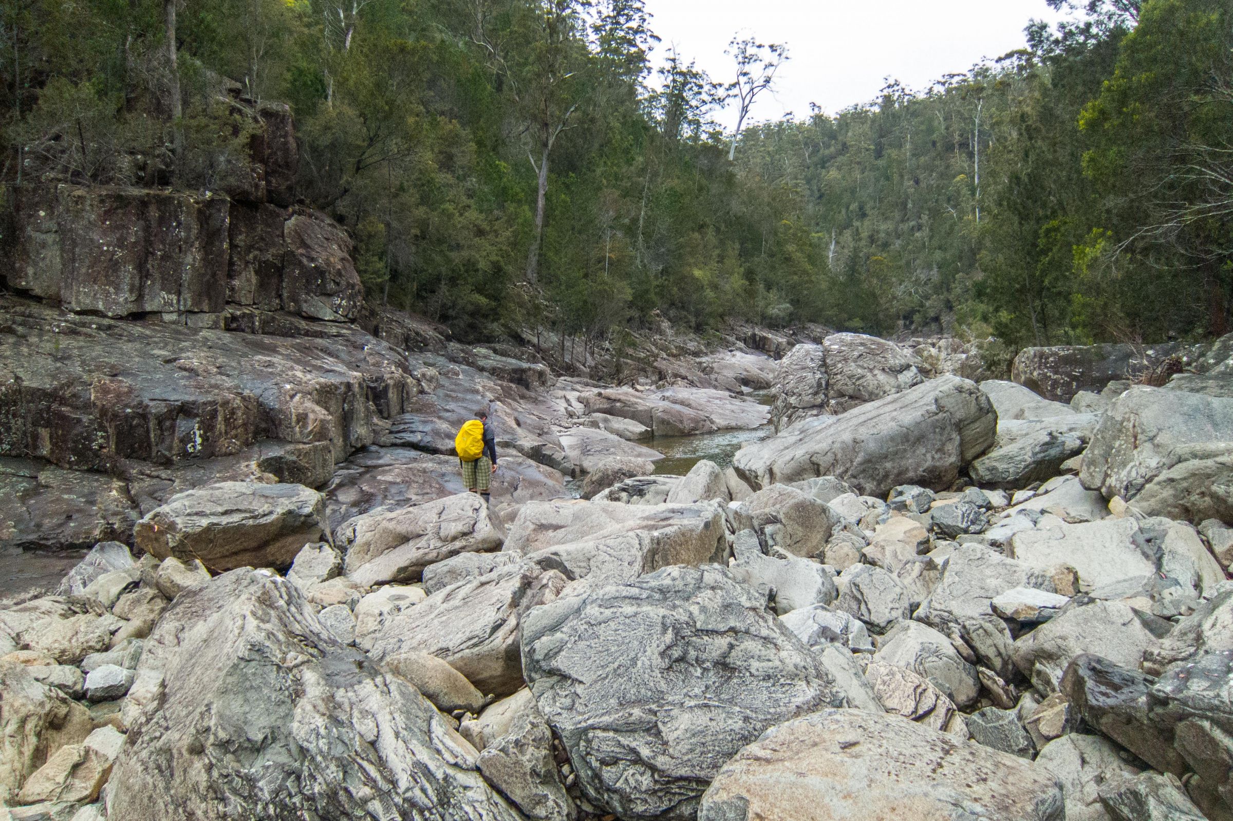
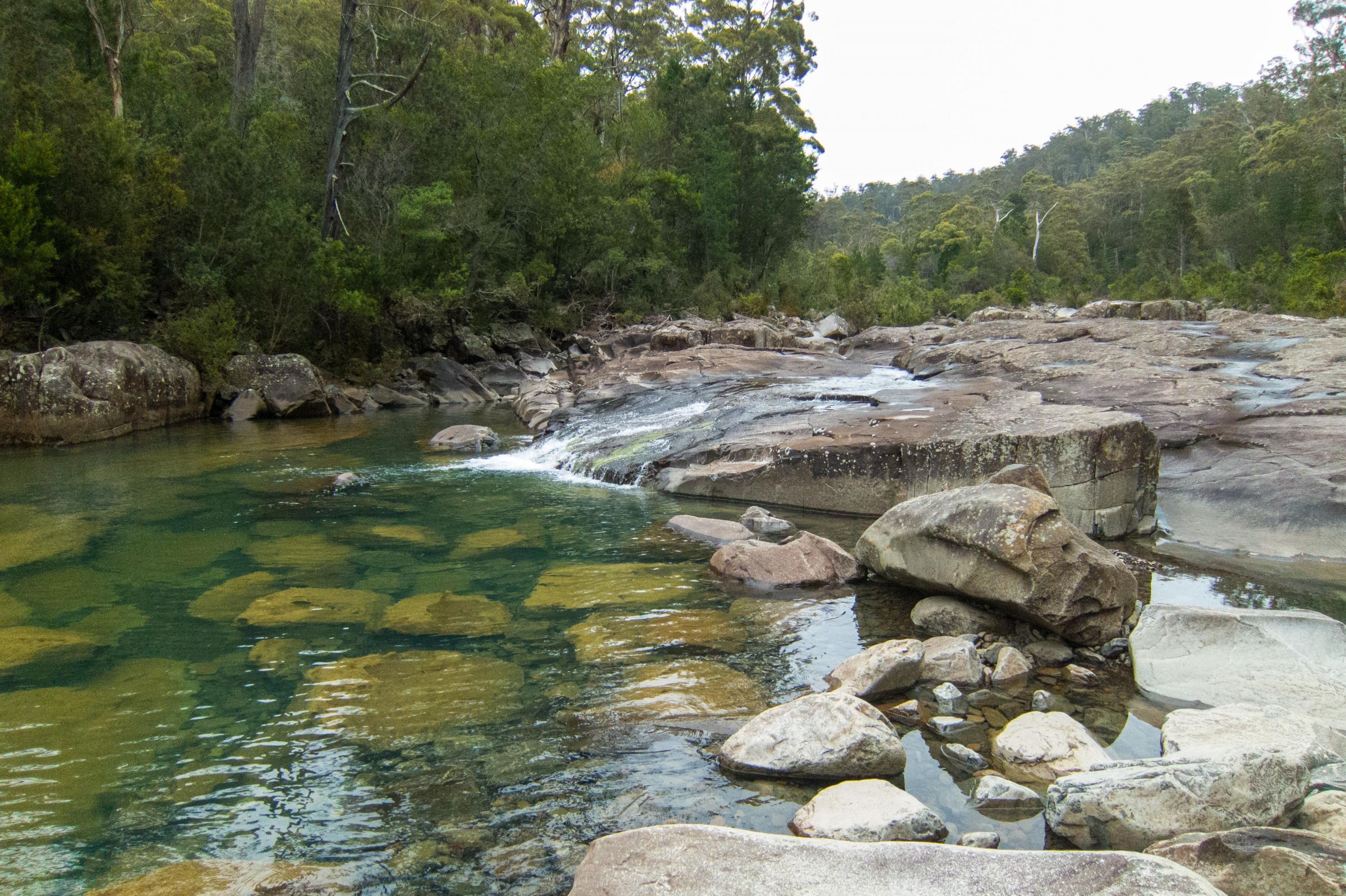
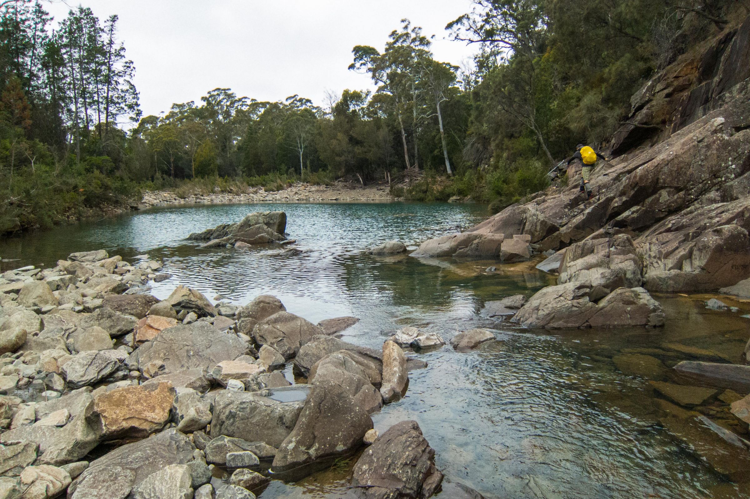
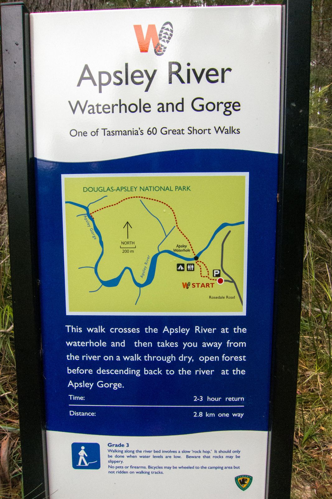
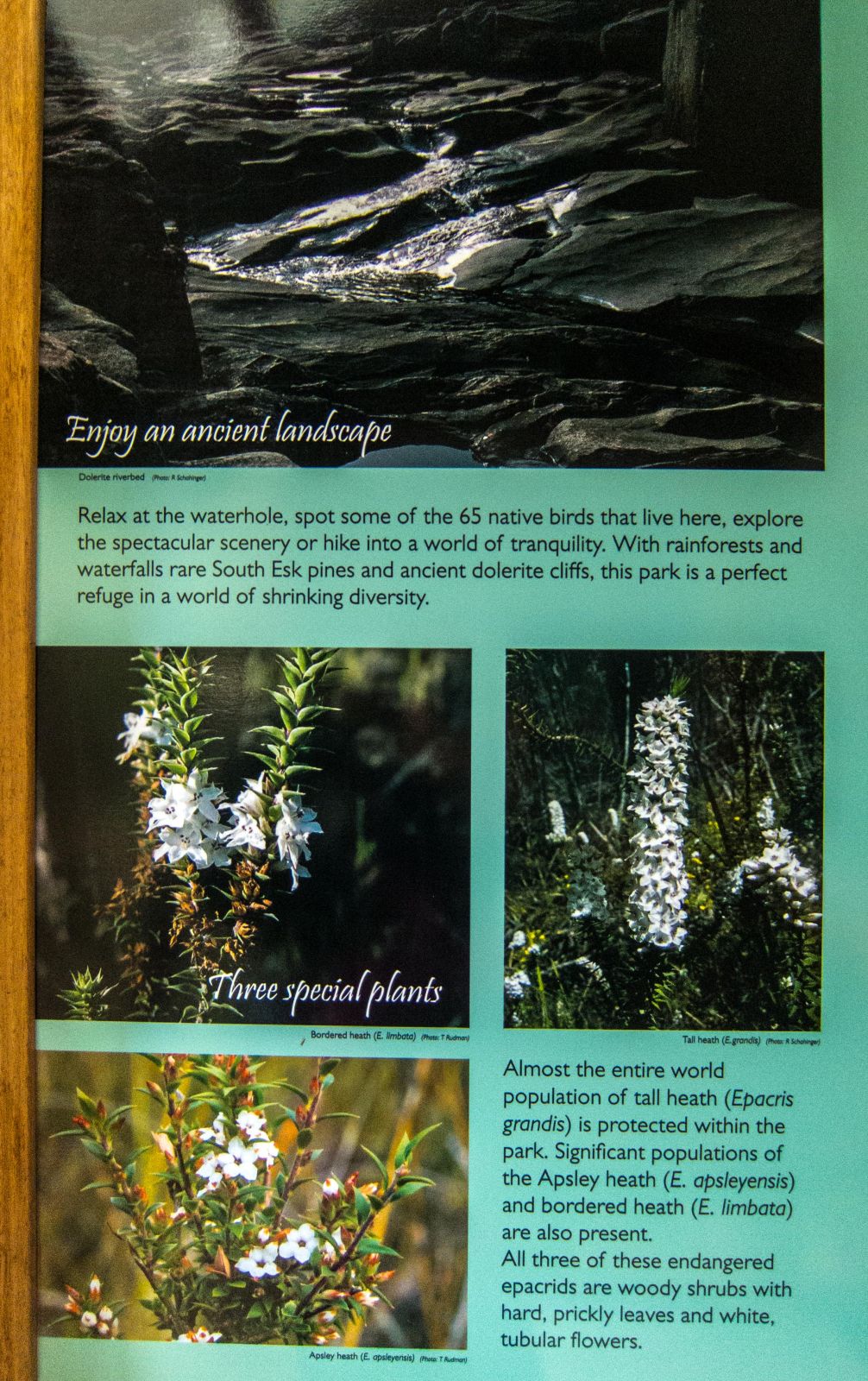
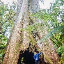
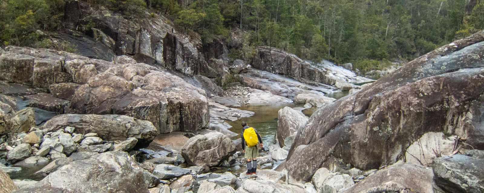
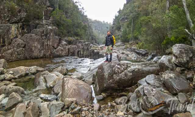
The Apsley River Gorge trail is located 30 minutes west of Bicheno. The circular hike is approximately 7 km long and leads through an old-grown forest and the stunning river gorge. The hike takes 3 ½ up to 4 hours. It is one of the 60 great short walks of Tasmania. From the car park, the trail is well-marked, and information is displayed at the beginning. It’s a 10-minute walk to the waterhole. Here you cross the Apsley River and walk gently uphill through the fantastic forest. Afterwards, the trail is gently downhill until it gets steep and narrow above several rocks to reach the river bed. From now on you must find your way from one river bank to the other through this spectacular gorge.
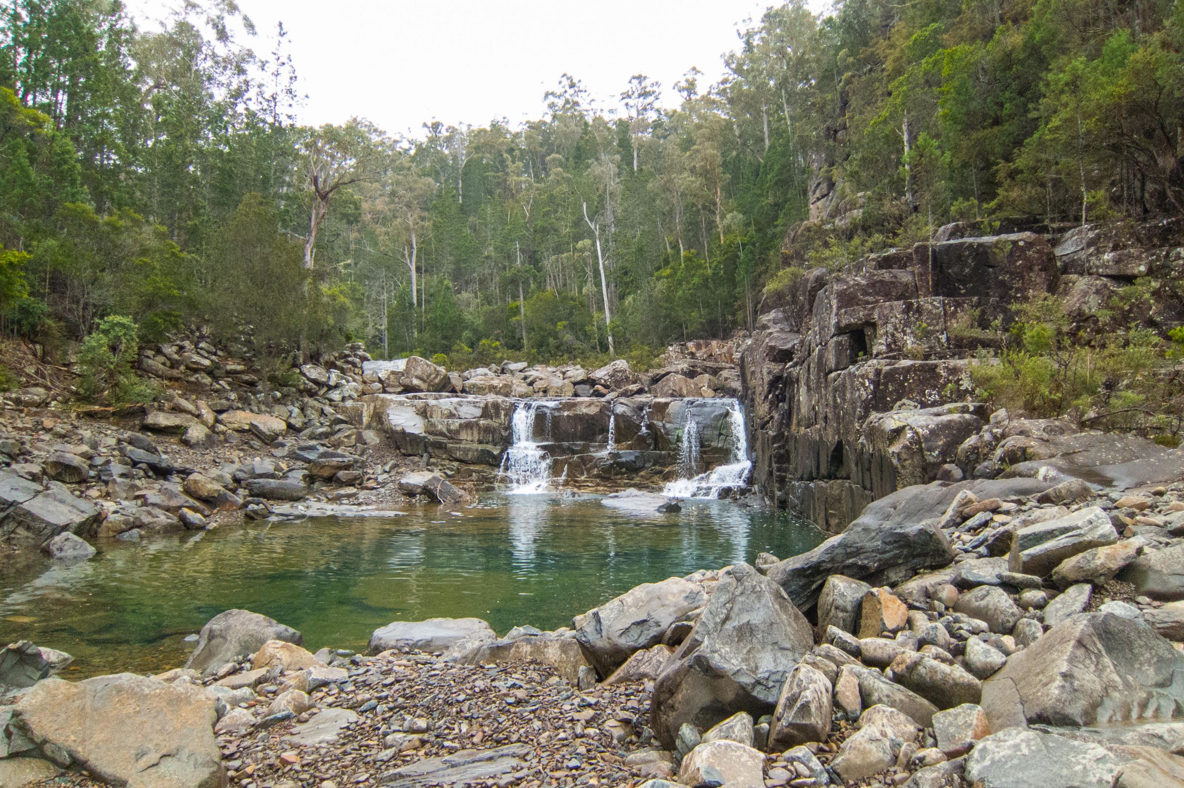
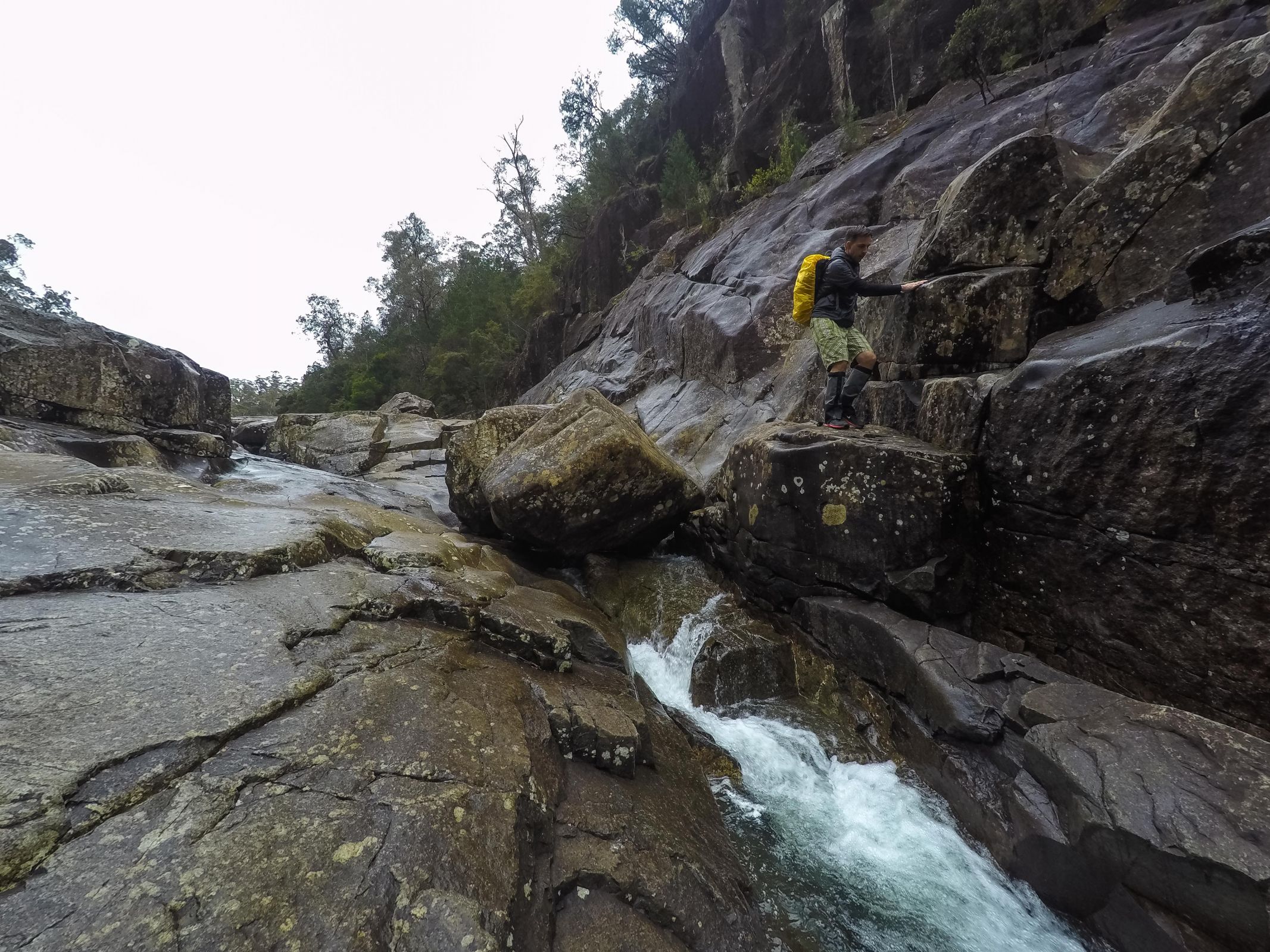
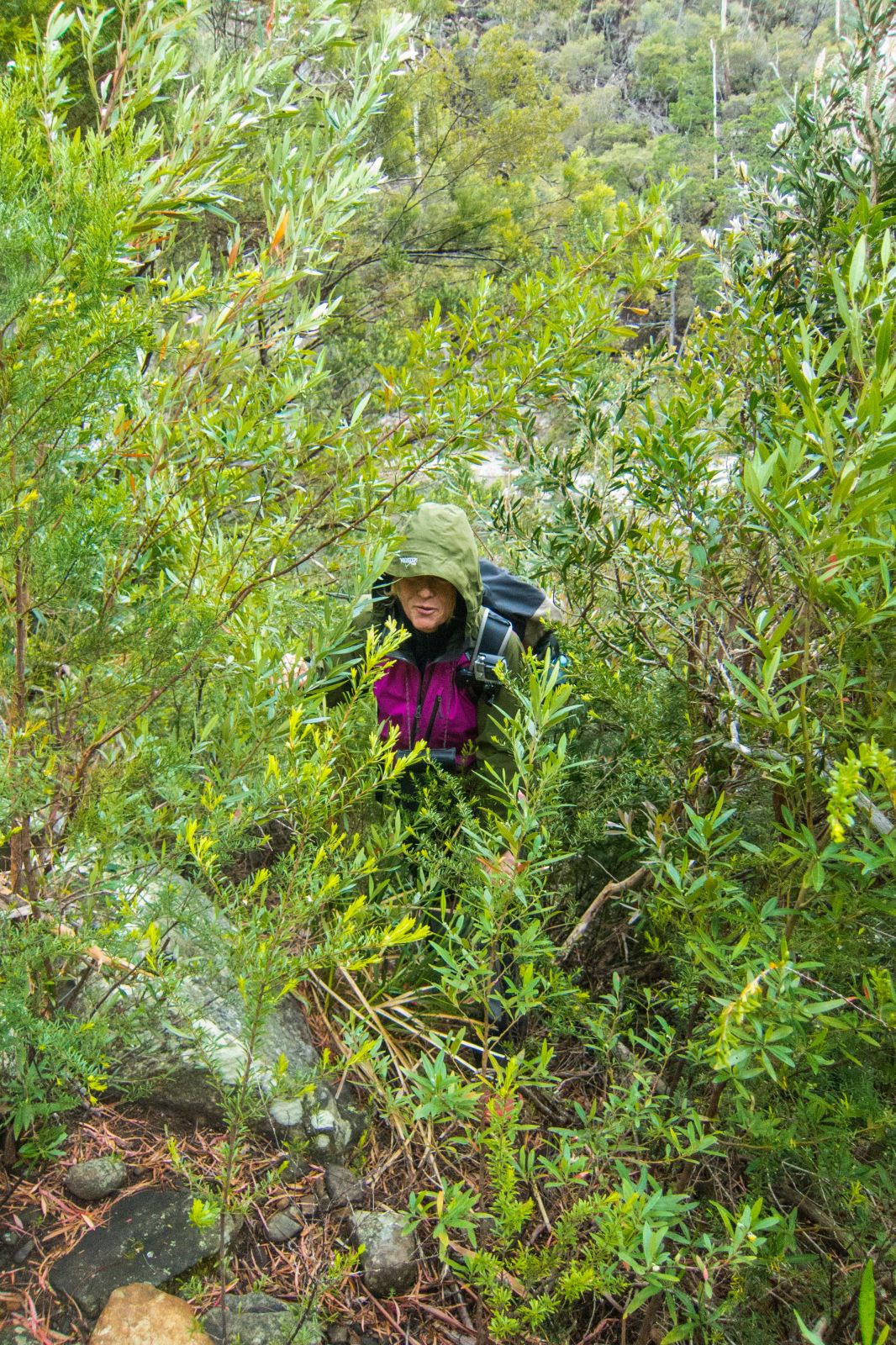
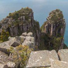
The gorge often requires rock hopping and climbing with slippery rock surfaces. You pass beautiful waterfalls and waterholes along the trail. Imposing are the dolerite cliffs to the right and left. Depending on the water level, the hike can be quite challenging. Close to the end of the trail, the river bed gets divided by an island. Walk to the left side and through the bush.
It’s a moderate to difficult hike; sturdy shoes are necessary. If you have any difficulties in the first part of the trail, walking the main trail back is recommended.
A basic campground is located close to the car park.
National Park fees apply. For a longer stay, the best option is the eight weeks pass vacations. Purchase a National Park Pass.
Best Months to Visit
Location and Tips

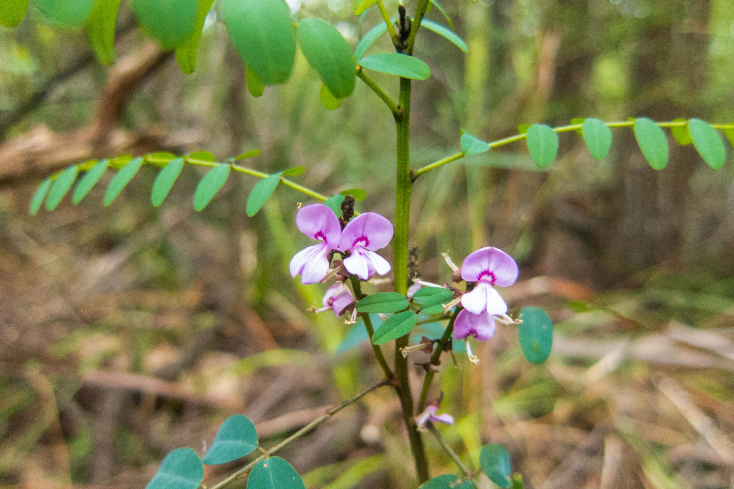
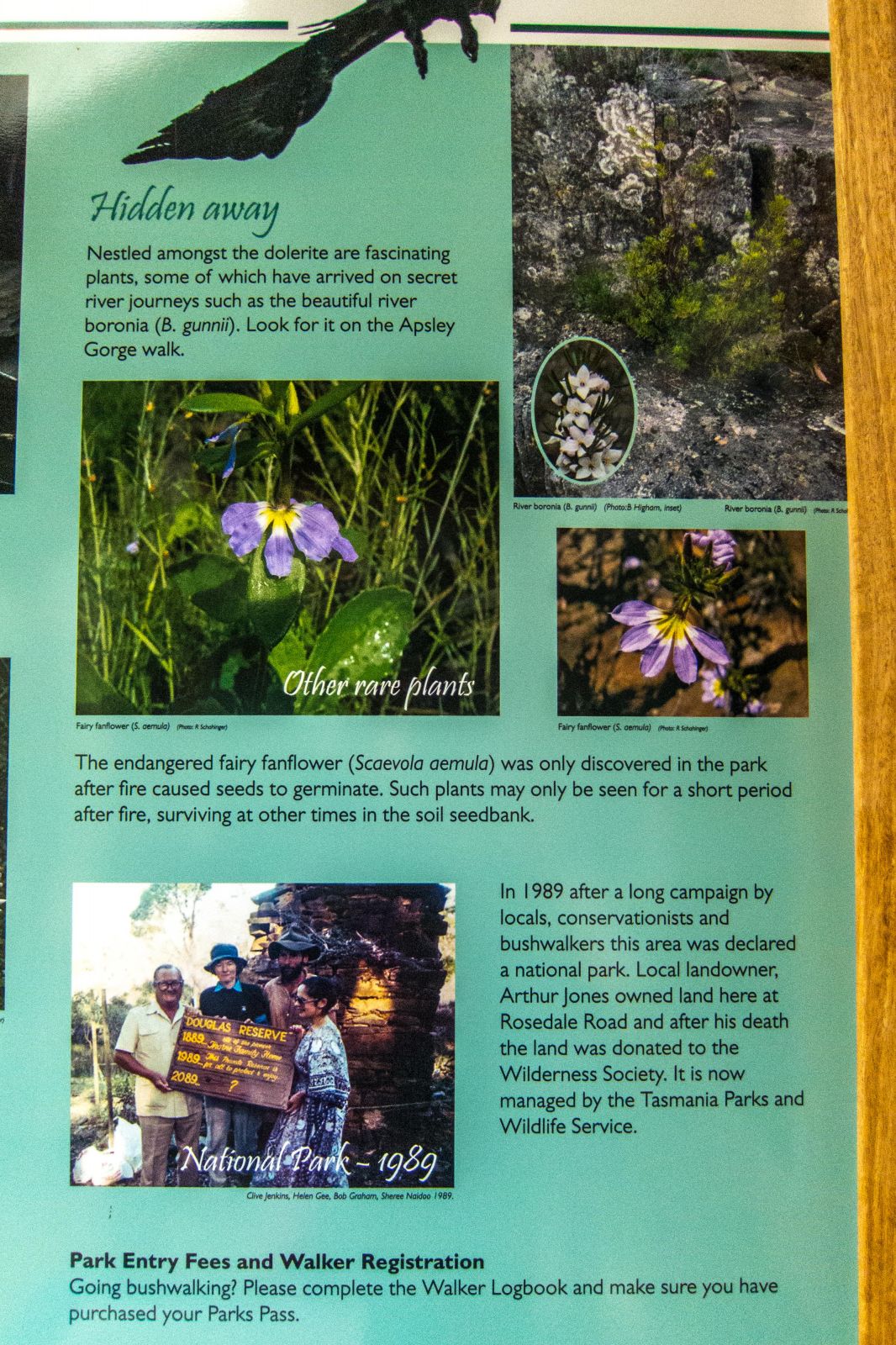
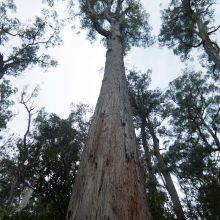
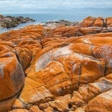
Douglas Apsley National Park is a hiker's paradise and was not overrun and declared a National Park in 1989 after a public protest against clearing local forests for paper manufacture. It is one of the very few uncleared and intact eucalypt dry forests. In my opinion, a must when visiting Tassie,