
When Is the Best Time
Many visitors are confused when they read that hiking in Timanfaya is not allowed, yet they see trails leading into craters or up caldera rims. The reason is simple: Lanzarote has two different protected areas.
The Timanfaya National Park is strictly protected and almost entirely inaccessible without a guide. However, right next to it lies the Los Volcanes Natural Park, where several official hiking trails are open to the public.
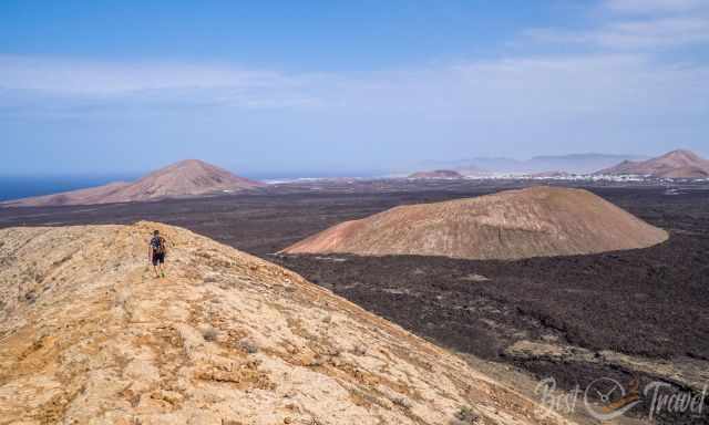
This guide features three exceptional volcano hikes on Lanzarote, each showcasing a unique volcanic landscape:
-
Caldera de Los Cuervos — an easy and fascinating walk into an open volcanic crater
-
Caldera Blanca — a spectacular trail up to the rim of a massive caldera
-
El Golfo Coastal Walk — a scenic route along the dramatic volcanic coastline
The first two hikes are located within the Los Volcanes Natural Park, El Golfo in the Timanfaya National Park, all offering safe access to Lanzarote’s most impressive lava fields, crater formations, and coastal cliffs.
Best Time for Hiking in Lanzarote
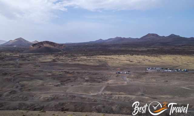
Lanzarote experiences more than 300 days of sunshine and less than 20 days of rain, and the amount of precipitation in Timanfaya is below 150 mm annually.
The best time to visit Lanzarote for hiking volcanoes and Timanfaya is the “colder” season from November to April, with temps ranging from 20-25°C in the shade.
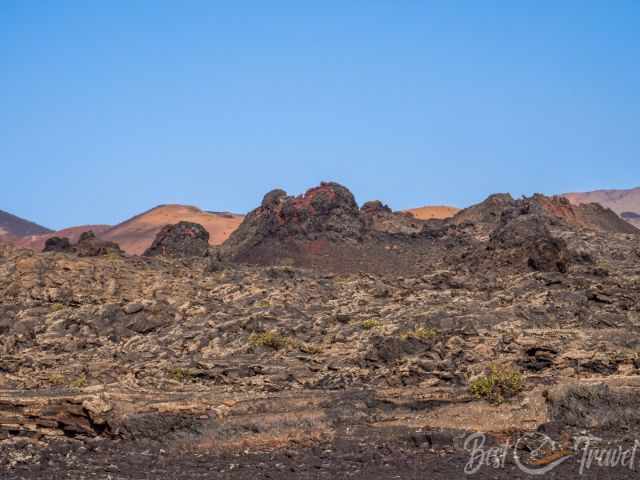
There is the Los Volcanoes Natural Park and the Timanfaya National Park. Timanfaya itself is almost not accessible on your own. However, the Volcano Natural Park can be experienced by yourself. You can find all details for Timanfaya and volcano hikes into a crater or even to the top of a huge caldera rim.
3 Hikes - 2 Accessible Volcanoes
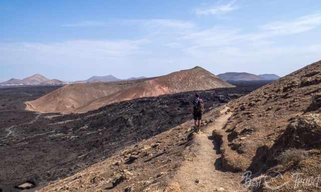
Montaña Cuervo and Caldera Blanca are two of the most impressive volcano hikes on Lanzarote, offering a close look at the raw forces that shaped the island. It is possible to hike both trails in one day, but make sure to bring a picnic or sandwich and plenty of water — there is no shade on either route. For a more relaxed day, I recommend combining Montaña Cuervo with Montana Negra, as both hikes start from the same parking.
1 Montana Cuervo - Caldera de Los Cuervos
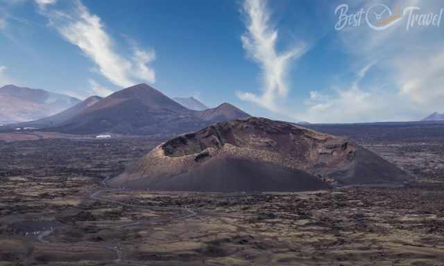
Hiking Details
- Length: 4.5 km
- Duration: 1.5 hours (take your time and read the panels)
- Difficulty: Easy
- Trail Type: Circular Trail
- Location: Near La Geria
A Collapsed and Extinct Volcano
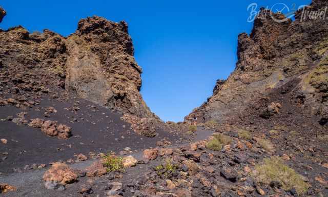
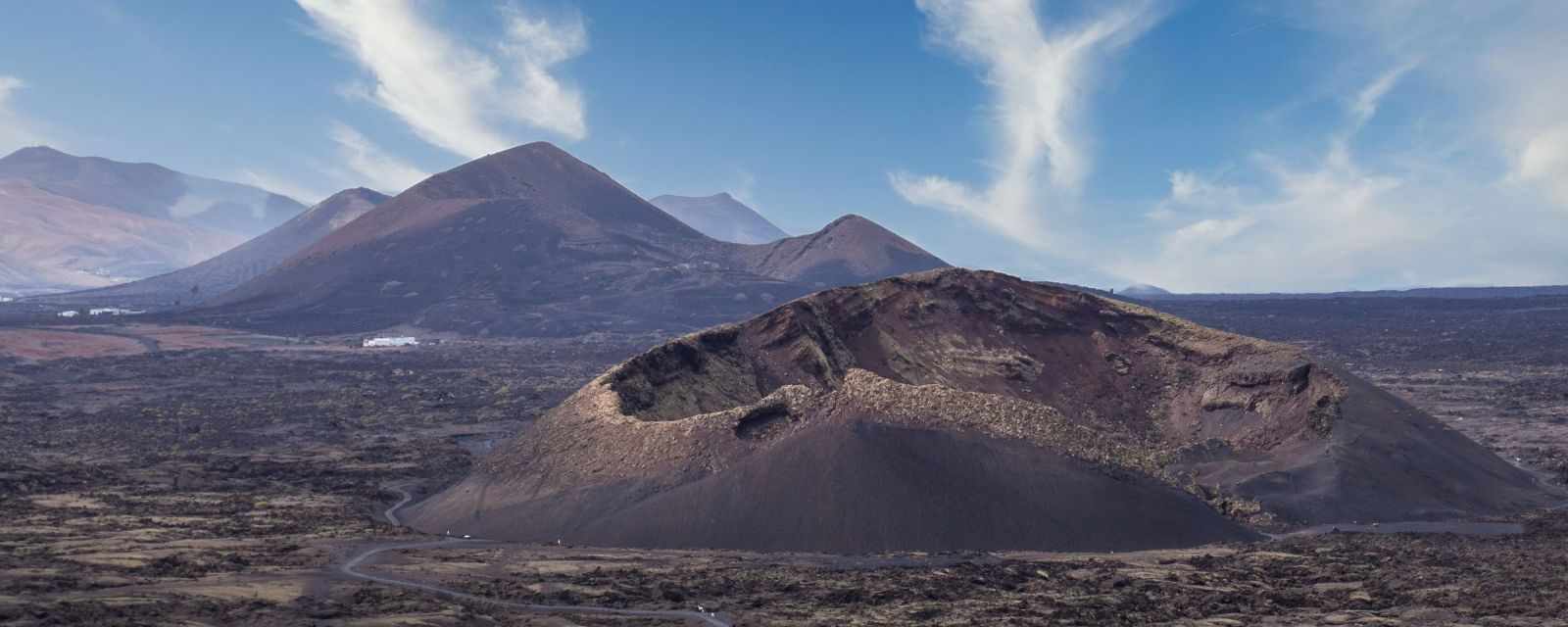
Montaña Cuervo is a fantastic example of the destructive force of a single‑eruption volcano. These volcanoes erupt only once. During the 1730 eruption, part of the crater wall exploded and was thrown about 150 meters away, opening the vent for the lava flow — and today for visitors.
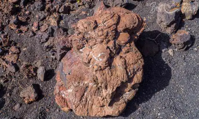
Walking into the crater is truly spectacular. We were overwhelmed by its size and the steep inner walls of the former vent, which once held a lake of bubbling lava. Montaña Cuervo was the first volcano to erupt on September 1, 1730, marking the beginning of nearly six years of continuous volcanic activity. It is definitely one of the must‑do hikes on Lanzarote to a collapsed and extinct volcano.
Parking
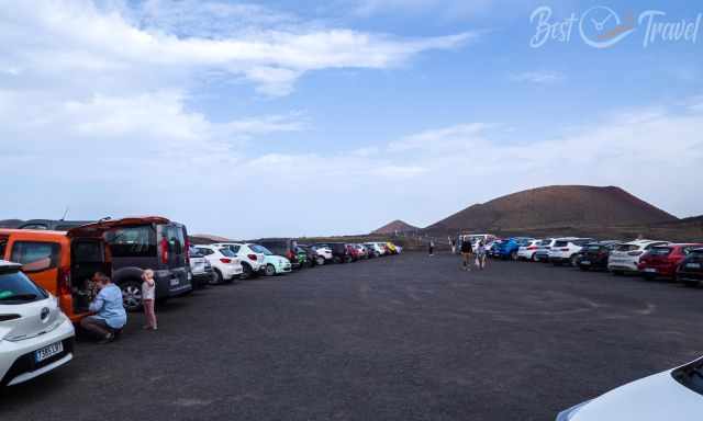
Parking: Location Google Maps
The easy circular trail leads around and into the crater and is suitable for families with children. However, due to the gravel surface, it is not suitable for wheelchairs or strollers. The ground consists of uneven, sharp black volcanic pebbles — the picon — so proper footwear is essential.
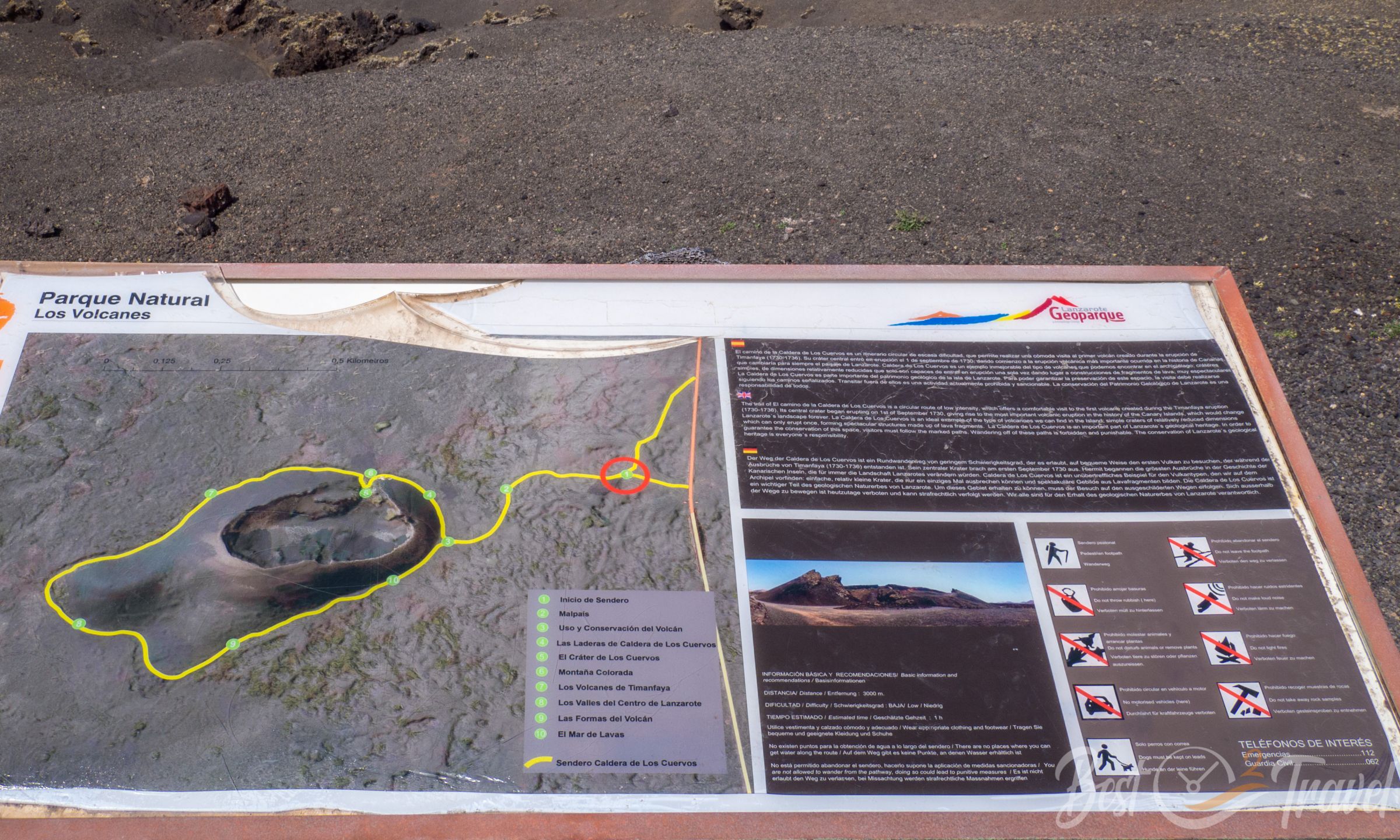
Information panels along the trail explain the geology and history in Spanish, English, and German.
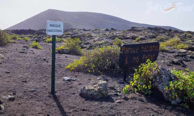
Please stay on the marked paths to protect the fragile volcanic landscape. Climbing the crater rim is no longer permitted.
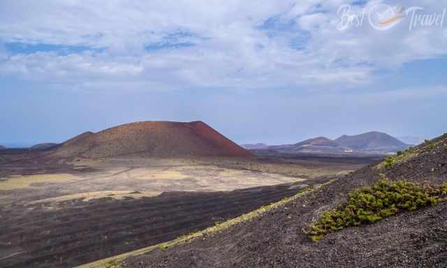
From the parking area, you can also climb Montaña Negra, the Black Mountain, with an elevation of 515 m. From the top, you get exceptional views of Montaña Cuervo and the bright red Montaña Colorada and Caldera Colorada, which reaches 469 m.
This striking red crater formed at the end of the six‑year eruption period in April 1736 and can also be climbed.
2 Caldera Blanca – Lanzarote’s Most Spectacular Crater Hike
Hiking Details
- Length: 10.2 km
- Elevation Gain: 367 m
- Duration: 3–4 hours
- Difficulty: Moderate
- Highest Point: 451 m
- Best Time: Morning for ideal light over Timanfaya
- Trail Type: Out‑and‑back with a loop around the caldera rim
- Location: Near Mancha Blanca, bordering Timanfaya National Park
Overview
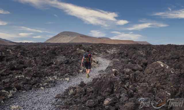
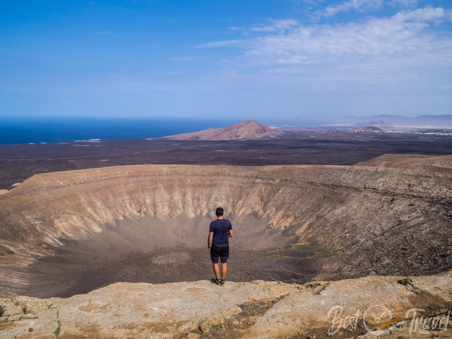
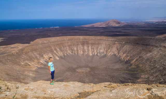
The Caldera Blanca hike is one of Lanzarote’s most impressive volcanic trails. The massive white caldera sits just outside the Timanfaya National Park and was shaped during the long eruption period of the 18th century. This hike rewards you with spectacular views of Timanfaya, the surrounding lava fields, and the Atlantic Ocean.
Parking & Trailhead
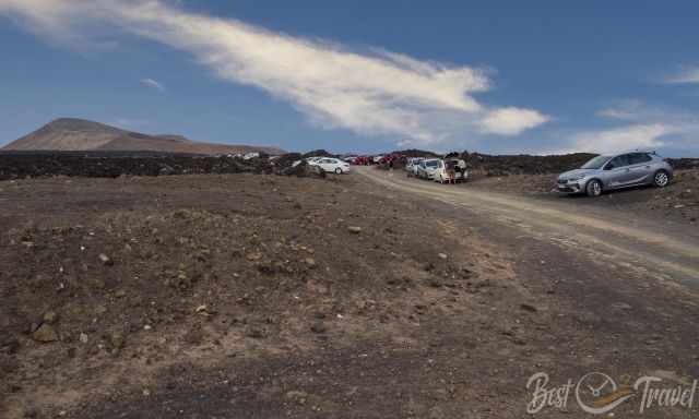
A rental car is required to reach the trailhead. You can either park near Mancha Blanca before the gravel road or carefully continue for 700 meters along the dirt track to the official parking area — which is what we did.
Google Maps Location: Caldera Blanca Parking
Through the Lava Field
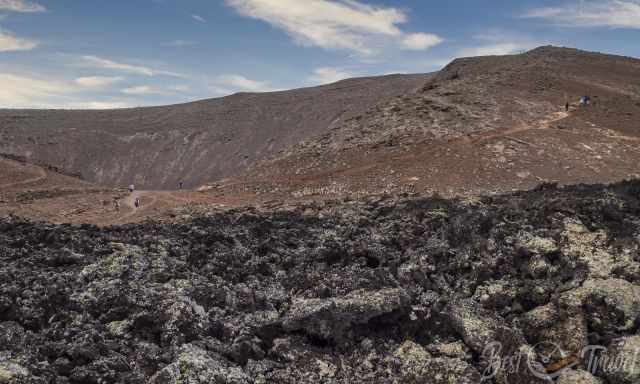
The trail begins with a walk through a rugged black lava field — one of the few places where you can experience the volcanic landscape at your own pace. The path is rocky and uneven, covered with sharp volcanic gravel (picon), so proper footwear is essential.
After 2 km, you reach the small accessible crater Montaña Caldereta, once used for traditional cultivation. The crater walls collect rare rainfall and sediments, creating surprisingly fertile soil.
Ascent to Caldera Blanca
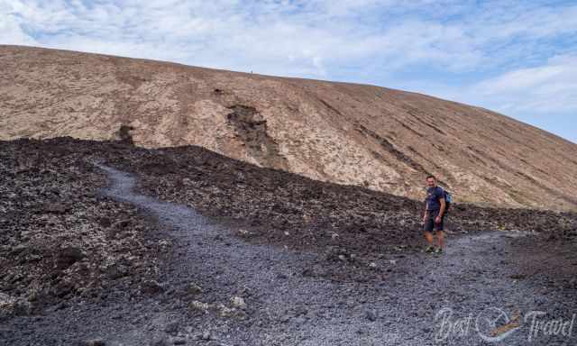
Shortly after Montaña Caldereta, another 1.6 km brings you to the start of the ascent. Follow the trail to the right to climb onto the rim of Caldera Blanca; you will return from the left side later.
The route leads counterclockwise around the caldera and gradually climbs to the western rim. The terrain is rocky and uneven, and it took us almost an hour to complete the 3.6 km section to the summit.
Summit Views
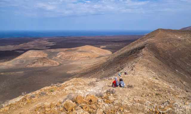
The ascent continues southward toward the highest point at 451 m. From here, the views over Timanfaya and the Parque Natural de Los Volcanes are absolutely jaw‑dropping.
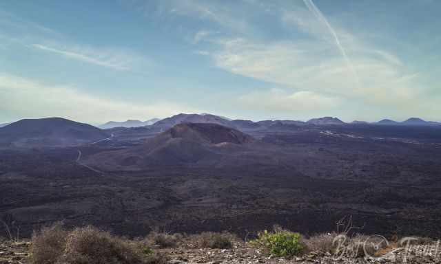
For me, this is the best viewpoint on Lanzarote. We enjoyed our lunch here, sitting in the front row with a panorama that is impossible to beat.
Descent & Return
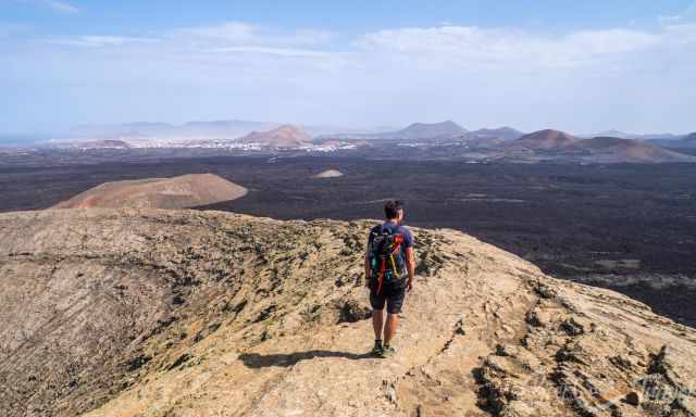
The trail continues along the eastern rim, offering views of Montaña Caldereta to your left. From here, the descent begins and leads you back toward the lava field and the trailhead.
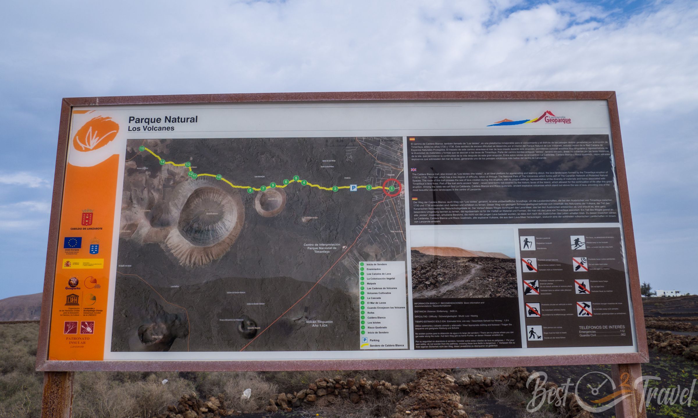
Information boards at the start of the hike provide geological context in Spanish, English, and German.
Packing Checklist – Caldera Blanca Hike
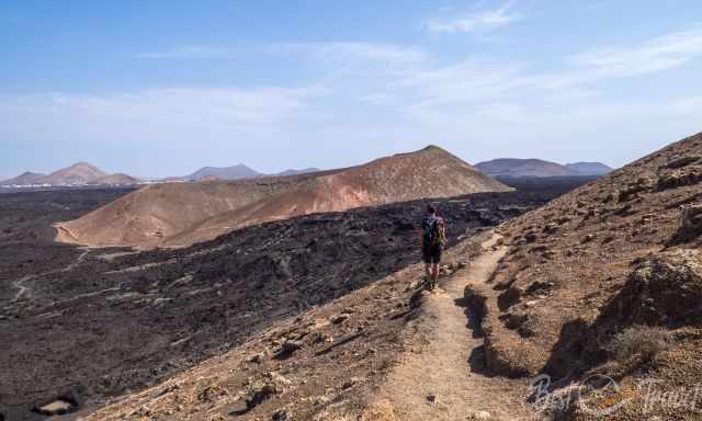
-
Proper hiking shoes — the trail is uneven and slippery; trail shoes with grip are ideal
-
Windproof vest or jacket — especially needed at the summit
-
Plenty of water — at least 1.5 liters per person; electrolytes recommended
-
Sandwich or snacks — perfect for a summit break
-
Sunscreen and a hat — no shade anywhere
-
Lightweight backpack — for snacks, water, and layers
3 El Golfo Trail – Ruta del Litoral
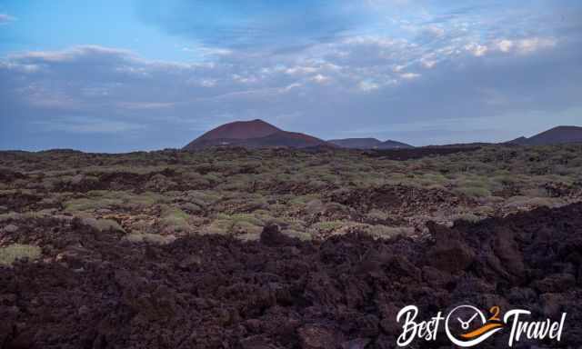
Hiking Details
- Length: 12.4 km one way
- Elevation Gain: 195 m
- Duration: Minimum 4 hours (one way)
- Difficulty: Moderate — uneven, sharp lava terrain
- Trail Type: One‑way coastal hike
- Best For: Coastal views, sunset photography, volcanic landscapes
- Location: El Golfo, bordering Timanfaya National Park
- Trailhead Parking: El Golfo Parking
Overview
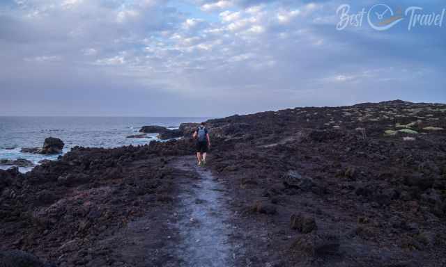
The El Golfo coastal trail, also known as Ruta del Litoral, is one of Lanzarote’s most amazing hikes. It leads from the village of El Golfo to Playa de la Madera along the rugged coastline of Timanfaya National Park. This entire stretch was shaped by fast‑cooling lava meeting the Atlantic — a raw, jagged landscape that feels untouched and wild.
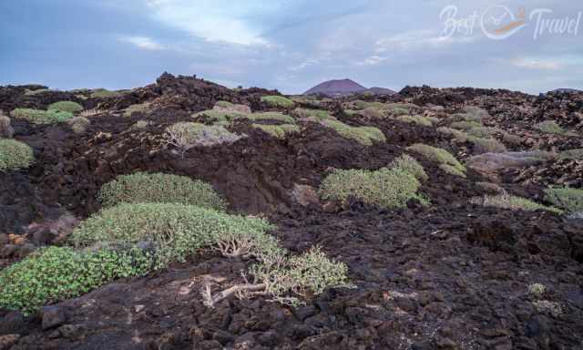
The first plants slowly reclaim the sea of lava, creating a striking contrast between black volcanic rock and bright green vegetation.
Trail Experience
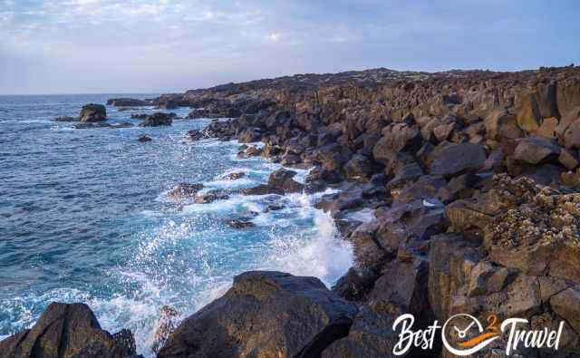
The route offers breathtaking views of the dark volcanic coastline — a surreal “lava paradise” where waves crash against sharp basalt formations.
Because the trail is not circular, hiking the full 12.4 km requires organizing transportation. We chose to hike only to Playa del Paso, which already gives a fantastic impression of this part of Timanfaya. The return hike back to El Golfo took us about one hour.
Perfect for Sunset Watching
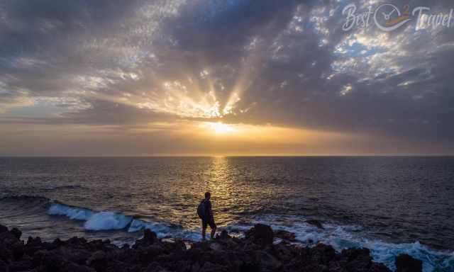
This coastline is a fantastic place on Lanzarote to watch the sunset. My recommendation: Start the hike in the late afternoon, enjoy the golden light over the lava fields, watch the sunset from the cliffs, and finish the day with dinner at one of El Golfo’s excellent seafood restaurants.
Trail Conditions
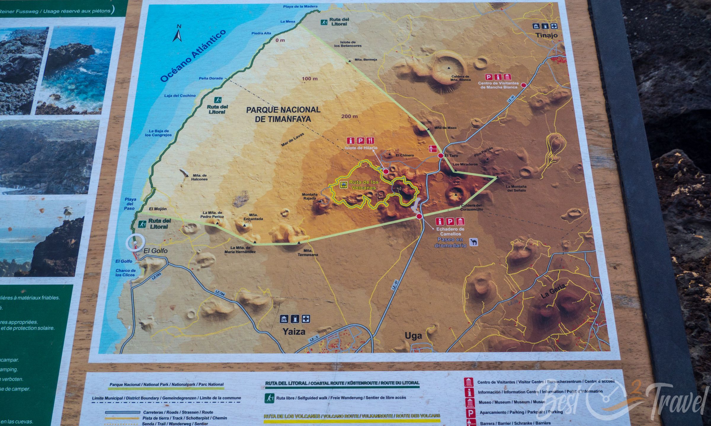
Information boards at the trailhead provide geological context and a detailed map.
The path is uneven, sharp, and rocky — typical for Timanfaya’s lava terrain. Proper hiking shoes are essential. The trail is well‑marked and easy to follow, but the surface requires attention.
How Old Is Lanzarote? The Island’s Deep Geological Story
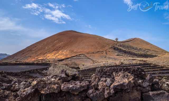
Lanzarote’s geological history began in the north of the island around 11 million years ago, when the first volcanic structures emerged from the Atlantic. Today, none of the volcanoes are visibly active — but that doesn’t mean the island is geologically quiet.
A Landscape Still in Motion
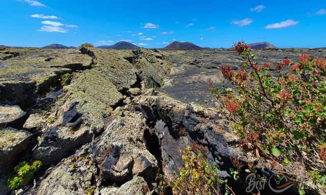
Unlike many regions shaped by rain, wind, and frost, Lanzarote evolves in a different way. Frost never occurs here. Instead, the island experiences around 2,000 micro‑earthquakes every day. These tiny tremors create constant friction between rocks and stones, slowly reshaping caves, lava tubes, and the rugged volcanic terrain.
We saw the results of this ongoing friction during our cave exploration — a reminder that Lanzarote’s landscape is still alive beneath the surface.
A Volcanic Island Like No Other
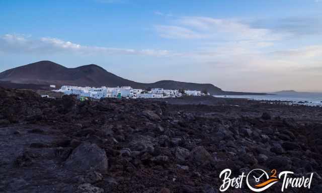
Lanzarote covers 845 square kilometers (326 square miles) and is the fourth‑largest island of the Canary Islands, after Tenerife, Fuerteventura, and Gran Canaria. Despite its size, Lanzarote is — at least for me — one of the most fascinating islands in Europe, thanks to its dramatic volcanic landscapes, unique geology, and otherworldly beauty.
From the black lava fields of Timanfaya National Park to the massive crater of Caldera Blanca and the rugged coastline of El Golfo, every hike reveals another chapter of the island’s fiery past.
Best Months to Visit
Location and Tips

Explore Lanzarote’s three most spectacular volcano hikes — Montaña Cuervo, Caldera Blanca, and the coastal El Golfo Trail — each showcasing a different facet of the island’s otherworldly volcanic landscape.